Skip to main content Skip to footer Sitemap

Steiner Mandl and the valley Vals: Bike Adventure from Mühlbach

Gitschberg Jochtal
Add to favourites
Difficulty
Intermediate
Distance
32.1
in km
Status
open
Categories
  • Bike trails
  • E-MTB
Suggested period
Jan
Feb
Mar
Apr
May
Jun
Jul
Aug
Sep
Oct
Nov
Dec

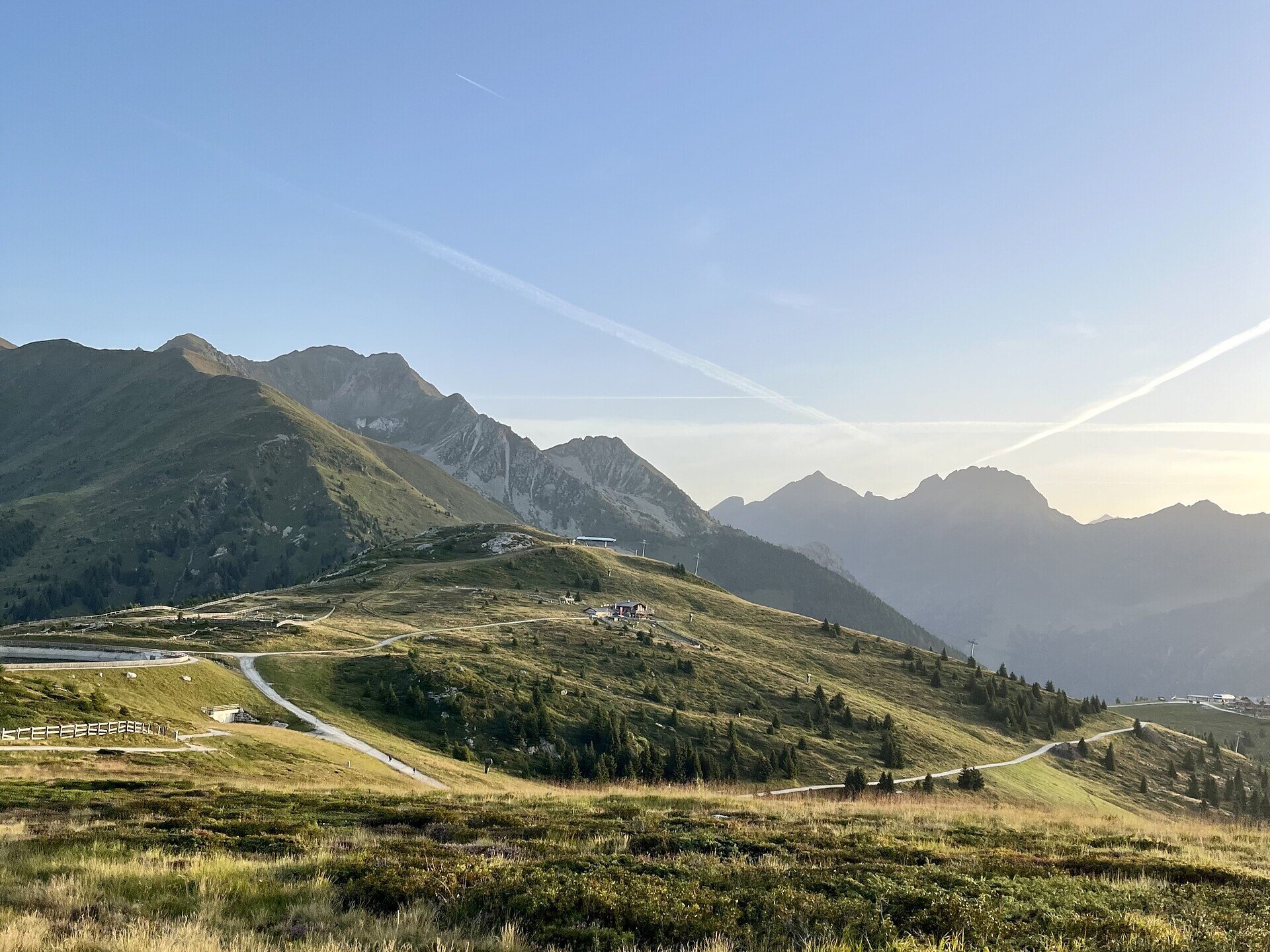
This tour offers varied routes, sporting challenges and wide views from the Steiner Mandl panoramic platform. It is ideal if you want to explore the Vals Valley by mountain bike.
Gallery
Further information and useful links

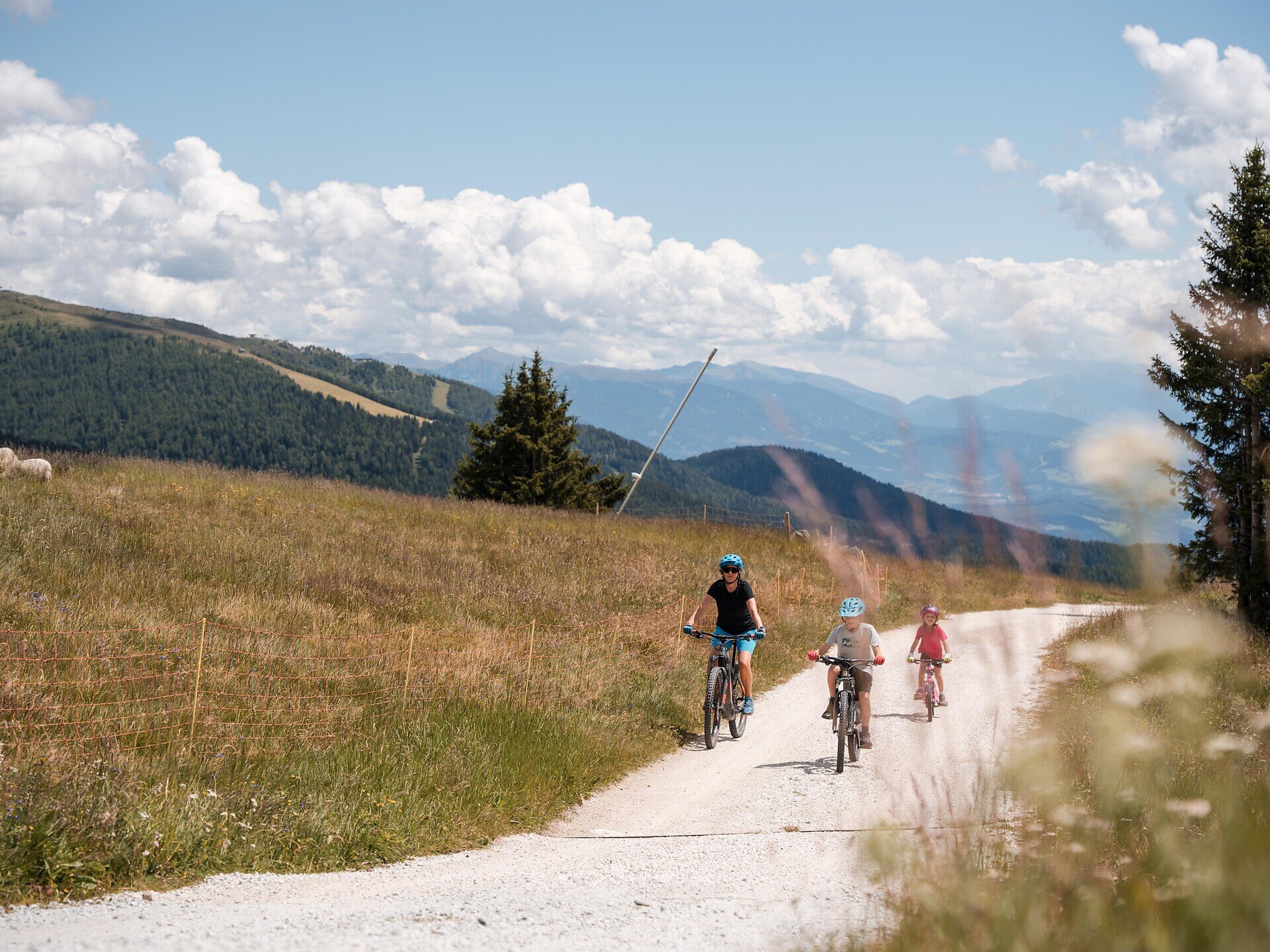
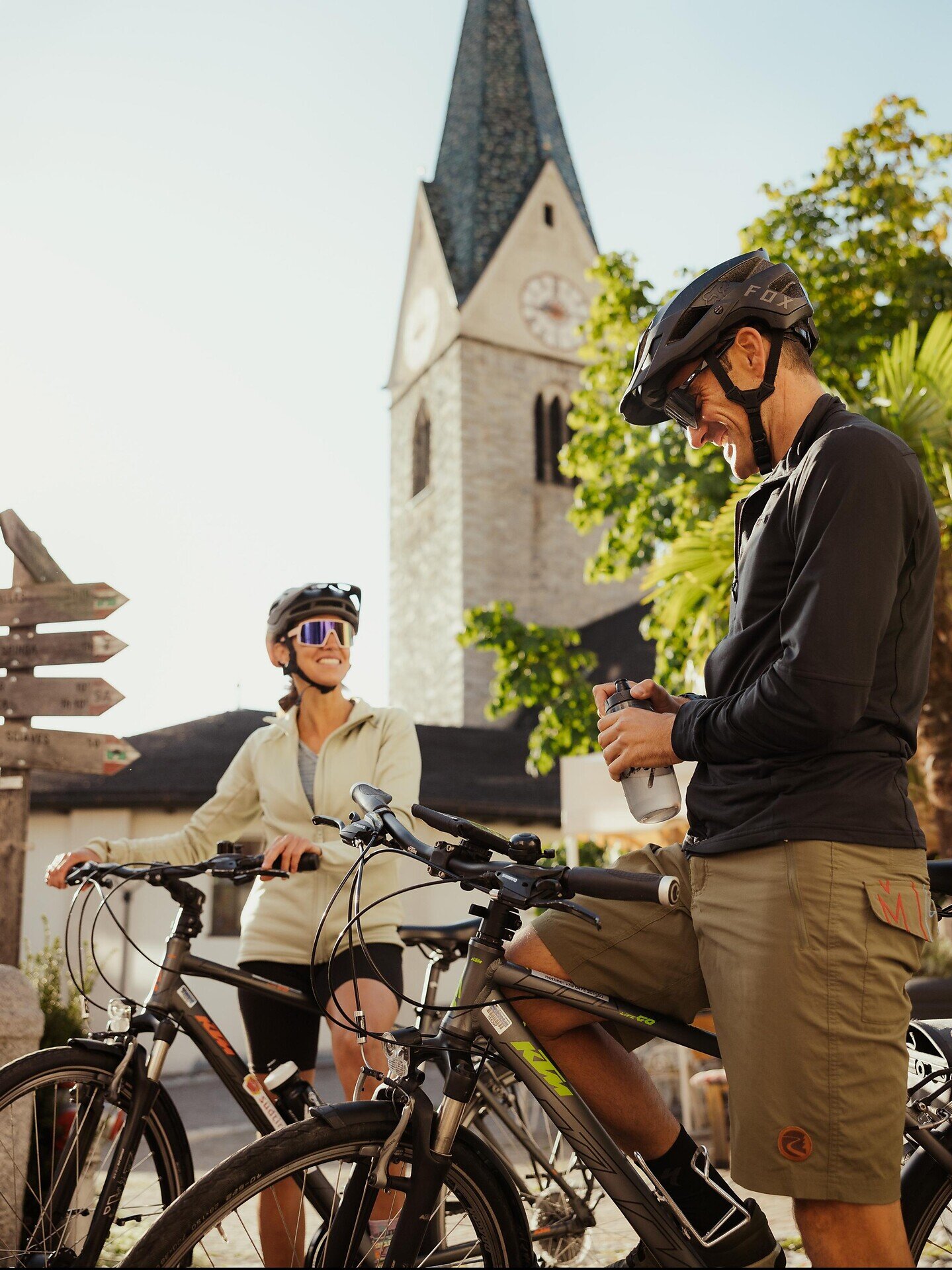
The starting point is Mühlbach train station. From there, cycle towards Spinges/Spinga and continue uphill to the Bunker recreation area, where the paved road ends. Here, forest road no. 9 begins, leading to the Anratter Hut and on towards the Jochtal mountain station. Some steep sections require a good level of fitness, and in places you may need to push your bike.

You will then reach the Steiner Mandl panoramic platform, offering spectacular 360-degree views of the surrounding mountains.

Ride back for a short distance towards the Anratter Hut and follow trail no. 9A to the Nock Alm. At the next junction, turn left and descend on trail no. 2A to Valsegg, below Vals. Continue on trail no. 11 to the reservoir and then to the Unteregger Farm. From there, use the footpath for a short section. An access road then leads into the forest and continues along the forest road. After crossing the wooden bridge, follow the paved Vals road back to Mühlbach.

The tour ends back at Mühlbach train station.

Categories
  • Bike trails
  • E-MTB
Route data
Intermediate
Distance
32,1 km
Ascent
1.512 m
Decent
1.512 m
Technical skills
Physical condition
Scenary
Highest point
2.117 m
Lowest point
748 m
Suggestions
Don’t have your own bike with you? At Bike Rental Leitner at Rio di Pusteria train station, you will find the right bike for your tour.
You might be interested in
Discover related tours
Brixen
Bike Tour Brixen - Villnöß
Distance 20,6 km
Ascent 1.048 m
Decent 201 m
Status
open
Gitschberg Jochtal
Alpine Magic: Biking across the Rodenecker-Lüsner Alp
Distance 5,8 km
Ascent 224 m
Decent 5 m
Status
open
Brixen
From Klausen to Brixen
Distance 12,0 km
Ascent 40 m
Decent 3 m
Status
open
Kreuztal/Valcroce - Pfannspitzhütte | © Kottersteger
Intermediate
Add to favourites
Brixen
Kreuztal/Valcroce - rifugio Pfannspitz Hütte
Distance 4,0 km
Ascent 412 m
Decent 0 m
Status
open
Brixen
Kreuztal/Valcroce - Rossalm
Distance 2,4 km
Ascent 159 m
Decent 12 m
Status
open
Klausen
Villanders Alpine Pasture Tour
Distance 38,2 km
Ascent 2.430 m
Decent 2.430 m
Status
closed
Where?
When?
Who?
Rooms
1