Skip to main content Skip to footer Sitemap

Alpine Lake Circuit in Pfunders: Hike to Hidden Alpine Gems

Gitschberg Jochtal
Add to favourites
Difficulty
Difficult
Duration
7:00
in hours
Distance
17.1
in km
Status
open
Categories
  • Other hikes
  • Theme paths
Suggested period
Jan
Feb
Mar
Apr
May
Jun
Jul
Aug
Sep
Oct
Nov
Dec
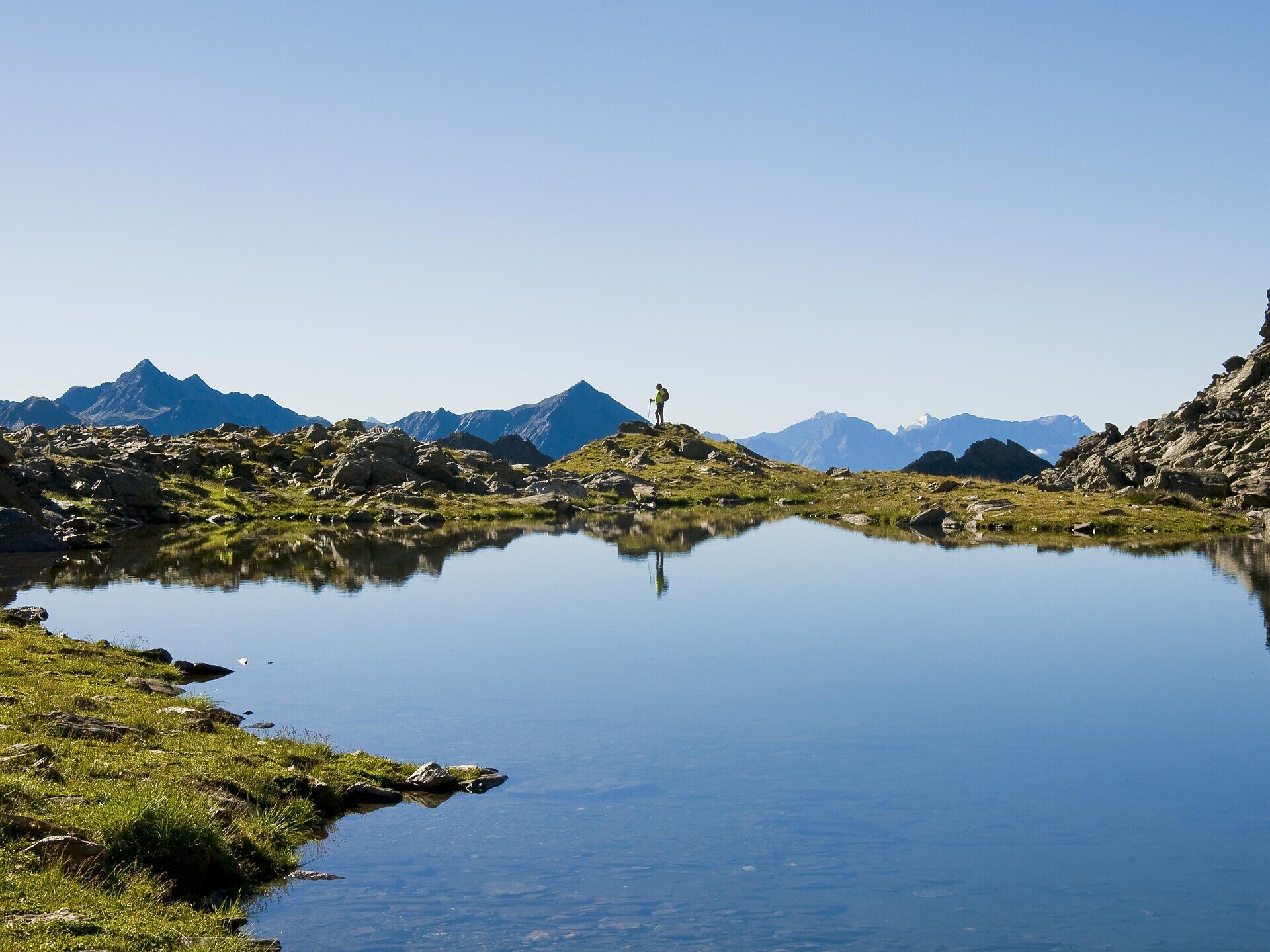
The Alpine Lake Circuit in Pfunders takes you to secluded alpine lakes through natural mountain meadows with views of the surrounding peaks. The hike is particularly suitable for nature lovers who appreciate tranquillity and alpine landscapes.
Gallery
Further information and useful links

The starting point of the hike is the Dun parking lot in the upper Pfunders Valley. From there, follow trail no. 20 towards Grindlberg Lake. The route begins on an uphill paved road before turning left onto a wider hiking trail that leads through the Dun Gorge.

Soon the valley opens up, and the trail follows the Weitenberg stream with the impressive Pfunders mountains as a backdrop. The route climbs gradually through alpine meadows, passing the Lower Engbergalm and Upper Engbergalm mountain huts. Beyond the huts, trail no. 20 becomes narrower and steeper, crossing flower-filled grassy slopes before reaching the Pfunderer High Trail.

After around three hours, you reach Grindlberg Lake at 2,485 metres. Continue on trail no. 20 over slate slabs to the lake's north-western shore and then on to Seescharte Pass at 2,591 metres, the highest point of the hike.

The descent leads to Weitenberg Lake. From there, continue across the wide alpine pastures on an unmarked but well-signposted route to the Weitenbergalm at 1,958 metres. Fresh alpine products are served on the sunny terrace, offering beautiful views of the surrounding mountains.

For the return, follow trail no. 19 towards Dun, where it eventually rejoins the familiar route. The hike ends back at the Dun parking lot.

Categories
  • Other hikes
  • Theme paths
Route data
Difficult
Distance
17,1 km
Duration
7 h 00 min
Ascent
1.080 m
Decent
1.080 m
Technical skills
Physical condition
Scenary
Highest point
2.530 m
Lowest point
1.453 m
You might be interested in
Discover related tours
Alps Barbian | © Tourismusverein Barbian
Intermediate
Add to favourites
Klausen
Premium panorama tour Corno del Renon
Distance 14,0 km
Duration 4 h 50 min
Status
open
Schabs | © TG Natz-Schabs, Florian Andergassen
Intermediate
Add to favourites
Natz-Schabs
Round Trip to Stegerbühel Hill
Distance 3,4 km
Duration 1 h 00 min
Ascent 90 m
Decent 90 m
Status
open
Gitschberg Jochtal
hiking tour to the Lechnerhof hut in Terenten
Distance 2,8 km
Duration 48 min
Ascent 89 m
Decent 122 m
Status
open
Villanders Alps | © Koni Studios
Intermediate
Add to favourites
Klausen
Gasserhütte-Marzuner Alm-Stöfflhütte
Distance 6,9 km
Duration 2 h 09 min
Ascent 419 m
Decent 97 m
Status
open
Brixen
Monastery Walls, Vineyards and the Archaeological Trail
Distance 8,5 km
Duration 2 h 32 min
Ascent 346 m
Decent 371 m
Status
closed
Brixen
From Mittewald to the Flaggerschartenhütte mountain hut at teh Flaggersee lake
Distance 25,2 km
Duration 8 h 27 min
Ascent 1.724 m
Decent 1.724 m
Status
open
Where?
When?
Who?
Rooms
1