
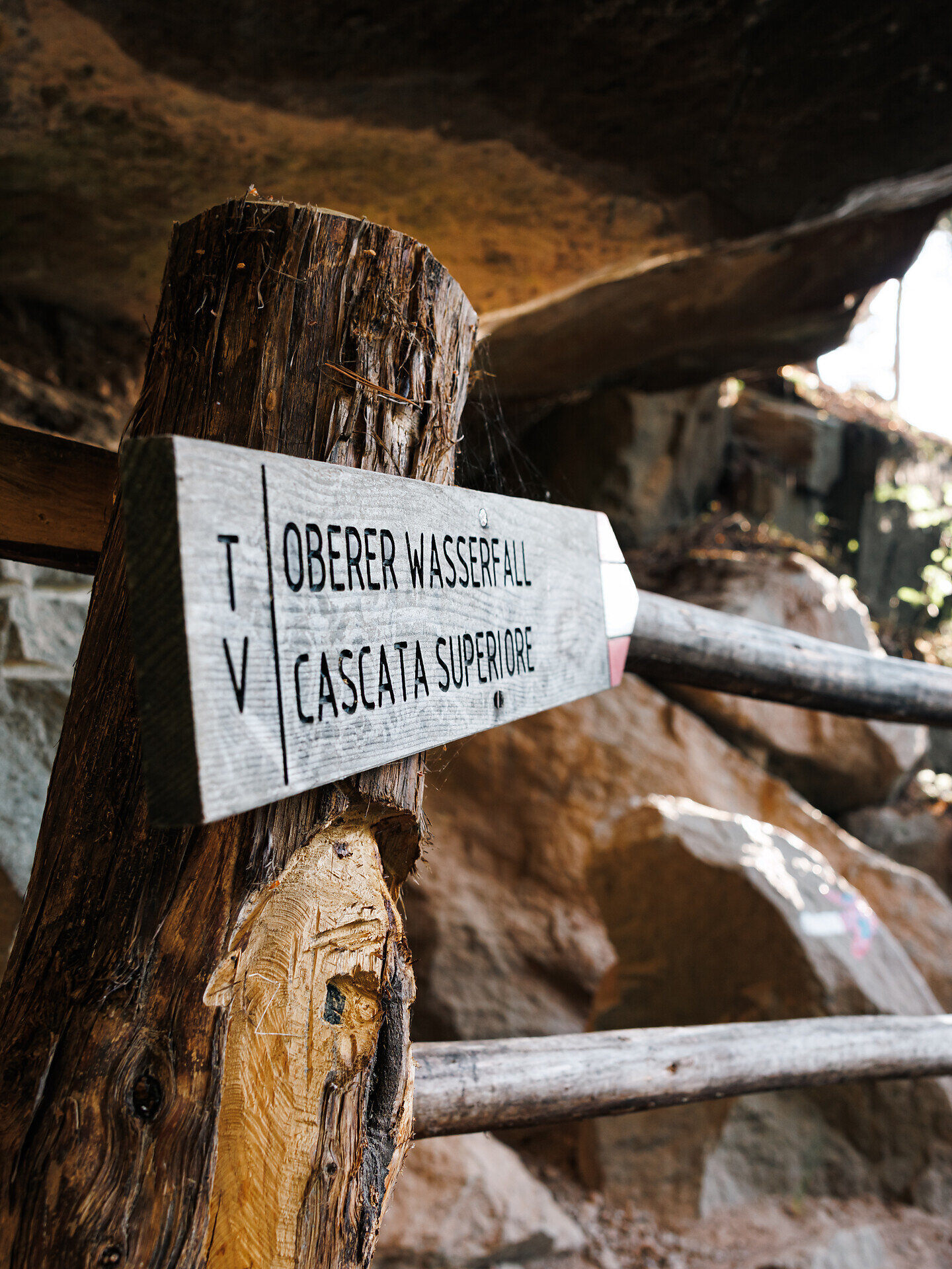
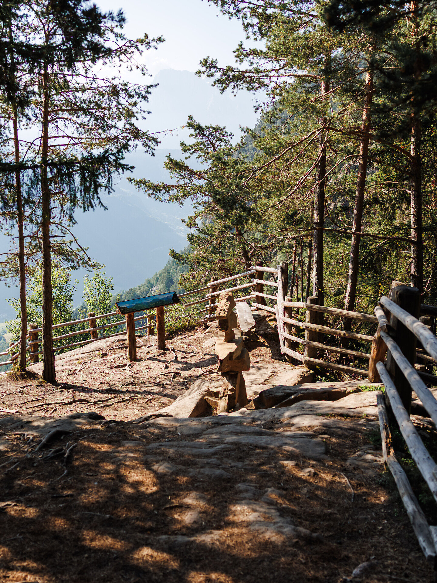
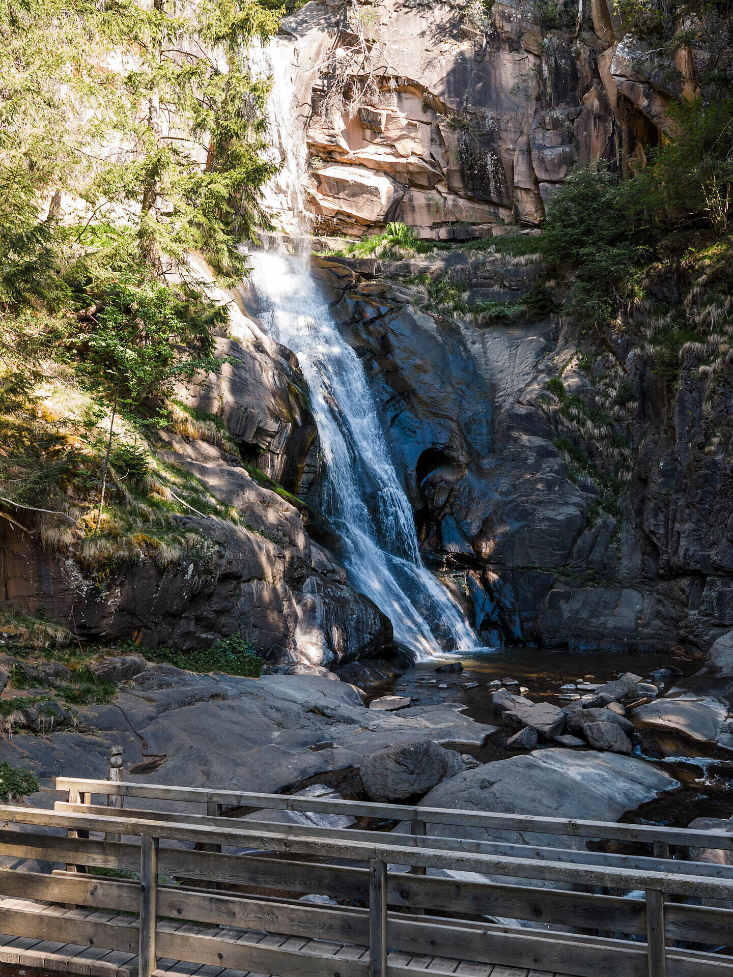
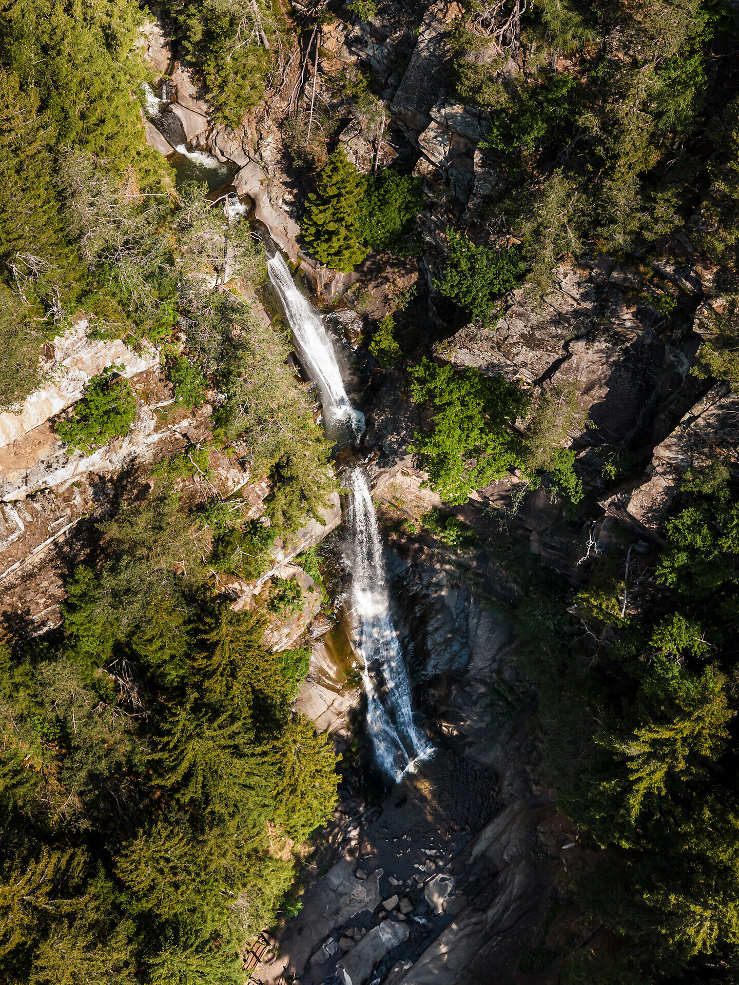
This circular hike leads from the centre of Barbian to the impressive Barbian Waterfalls. The route crosses the landscape above the village, first reaching the Lower Waterfall and then continuing along a steep path with numerous steps to the Upper Waterfall at approximately 1,110 metres.
The route follows paved sections, woodland trails and some steep hiking paths. Good fitness, sure-footedness and sturdy hiking boots are required. The paths and steps can become slippery in wet conditions. Allow approximately two and a half hours for the complete circular hike.
The circular hike starts in the village square of Barbian. From there, walk towards Saubach to Haus Urban at the end of the village. Turn right onto the signposted Waterfall Trail and follow it to the alpine road.
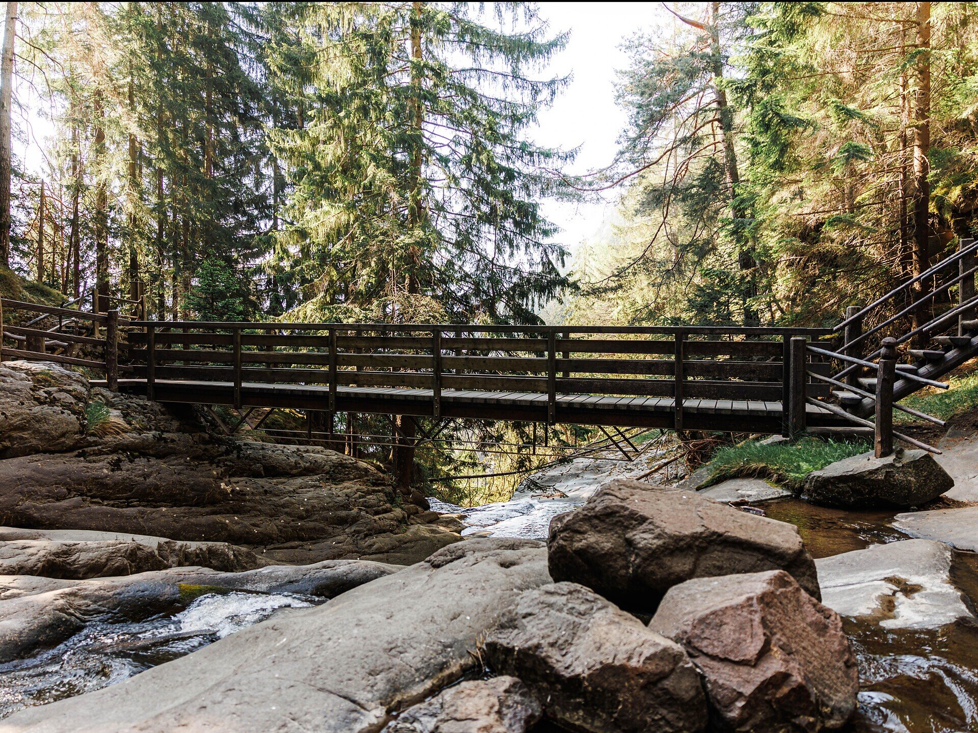
Follow the alpine road uphill for a short distance. At the next bend, turn left and continue along the trail, which shortly afterwards turns left again. After approximately one hour, you will reach the Lower Barbian Waterfall.
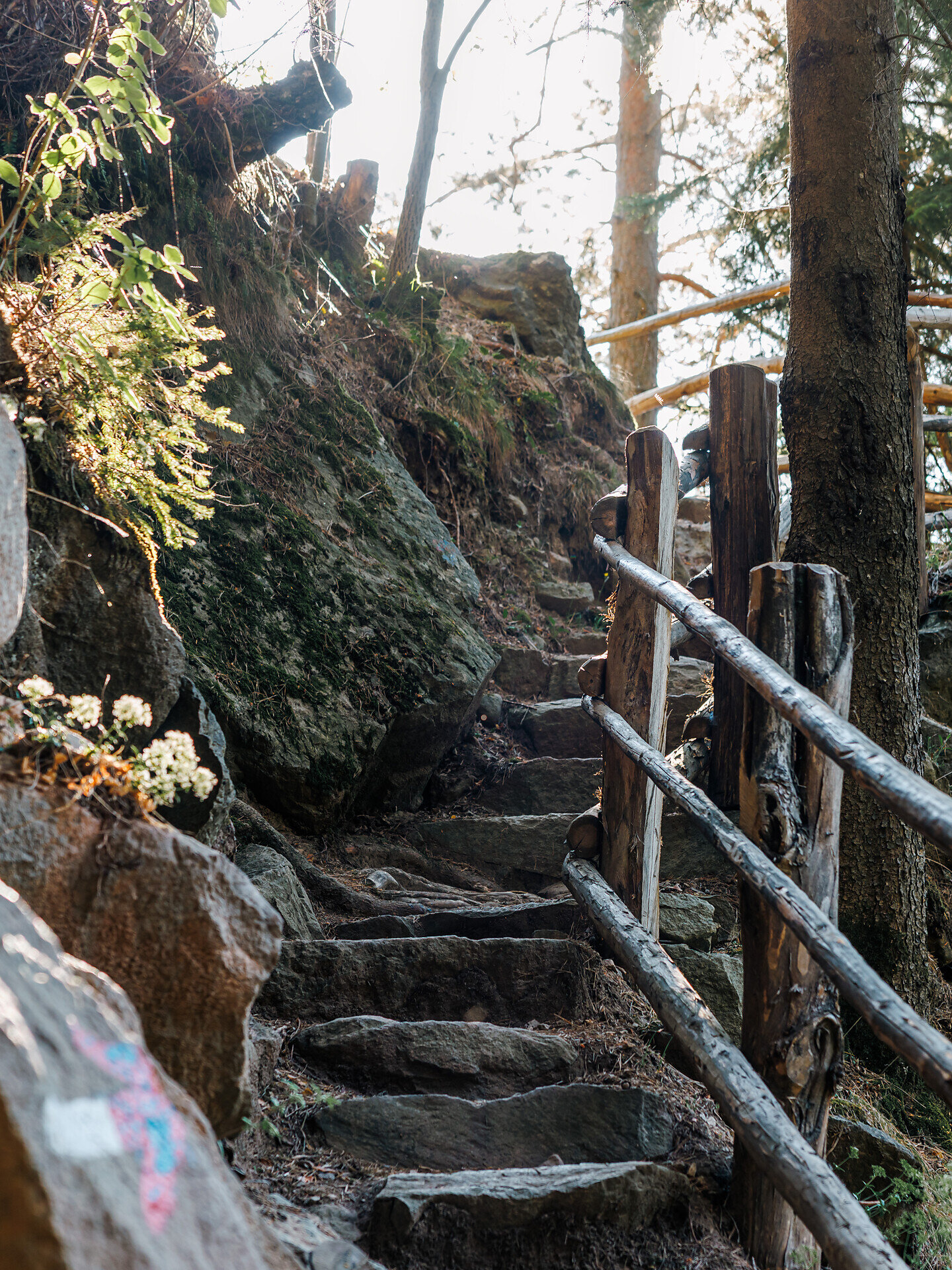
From there, a steep path with numerous steps leads up to the Upper Waterfall. This section includes some narrow and more demanding passages and requires sure-footedness.
For the return journey, follow trail no. 6 downhill to the right, passing the Stich-Flatsch farm. Then turn right onto trail no. 6A, which leads past the sawmill and back to the Waterfall Trail. Follow this trail back to the centre of Barbian.
Trail conditions: The route follows paved sections, woodland trails and narrow hiking paths, some of which are steep and include numerous steps. Sturdy hiking boots, sure-footedness and a good basic level of fitness are required. Stones, steps and exposed roots can become very slippery in wet conditions.
Starting and finishing point: Barbian village square, approximately 832 m


