It is a precious habitat, home to both people and wildlife – a place where we can breathe deeply and reconnect with ourselves. And it is exactly this space we want to protect. How, you might ask?
Charming hike from Villanders to the historic site of Dreikirchen.
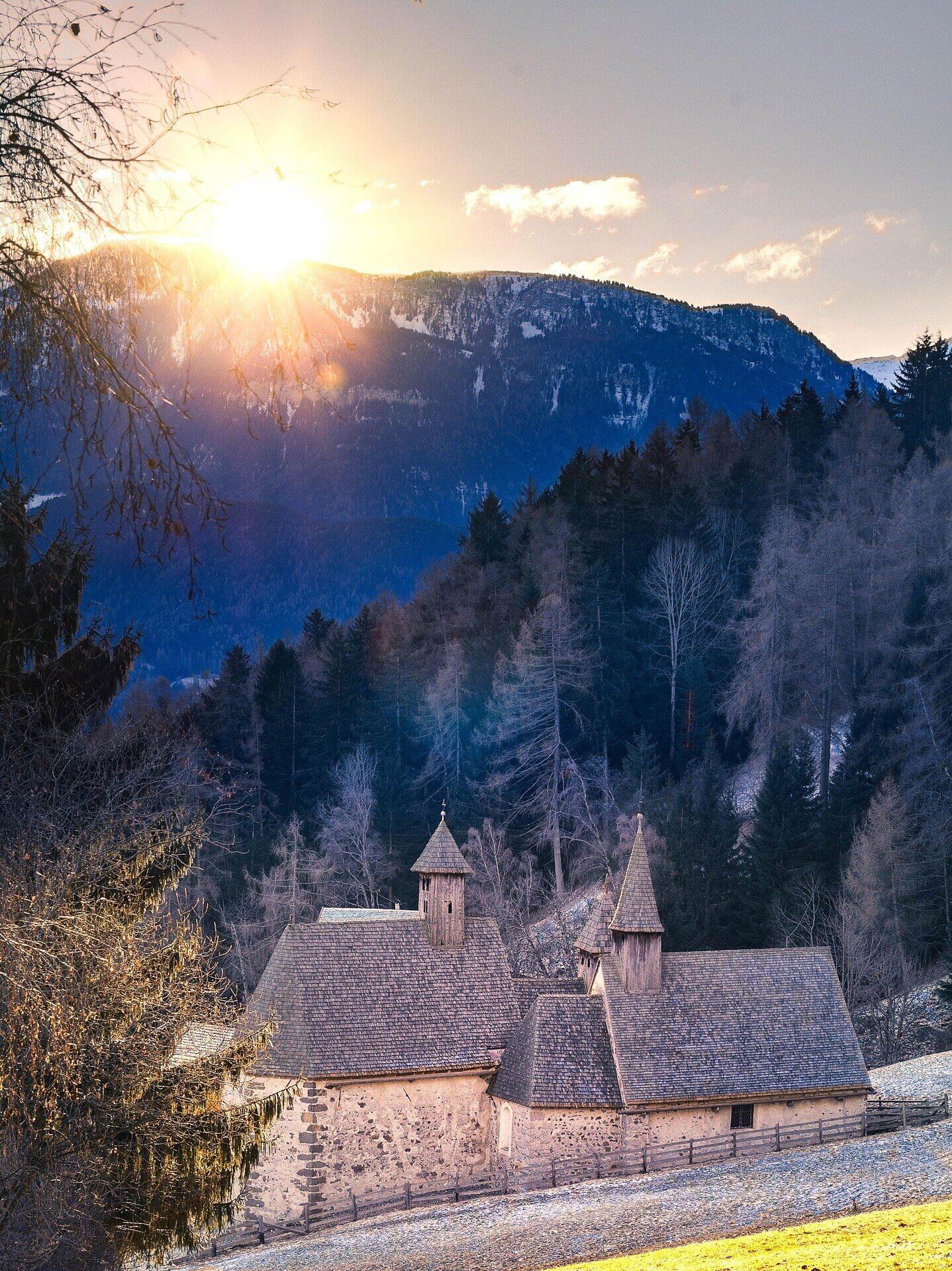
Varied circular hike from Villanders via the Flor farms to Bad Dreikirchen and back. The route leads through meadows, forests and peaceful countryside with beautiful views of the surroundings. The highlight is historic Bad Dreikirchen, with its three adjoining Gothic churches.
In the village center, follow trail no. 4 towards Dreikirchen until you reach the junction with trail no. 10, which you take to the paved alpine road. From there, continue on trail no. 11 above the hamlet of Stofls, passing the Flor farms, to Dreikirchen—an ancient spring sanctuary. Three adjoining Gothic churches give the place its name. Trail no. 4 then leads via Stofels back to Villanders.
Categories
Other hikes
Route data
Intermediate
Distance
10,0 km
Duration
3 h
00 min
Ascent
638 m
Decent
640 m
Technical skills
Physical condition
Scenary
Highest point
1.333 m
Lowest point
850 m
Suggestions
Along hiking trail no. 11, near the Prackfiederer farm, you’ll find the “Sauerbrünnlein” mineral spring.
public transportation
Leave the highway at Klausen/Chiusa and take the first exit at the first roundabout. At the next roundabout, take the second exit and follow the road for about 2 km. Then turn right towards Villanders and continue to the village centre.
How to get there
From Klausen, follow the LS87 to the village of Villandro. At the DESPAR, continue straight ahead into the cul-de-sac, then take the first descent on the left towards the sports field. Here you will find a small free car park.
Where to park
Small free parking area in the sports zone in Villanders.