
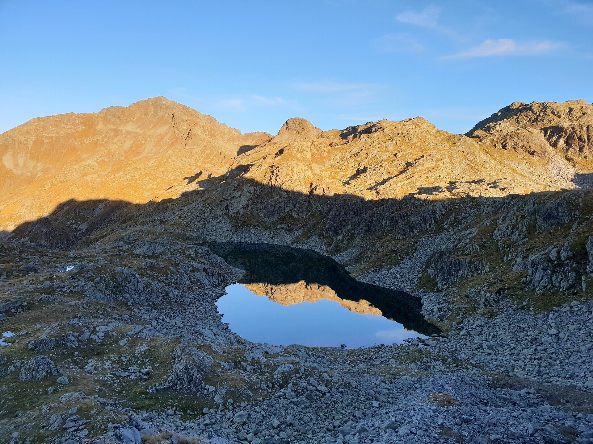

The starting point is the parking lot in the centre of Terenten at 1,211 metres. From there, follow the Mills Trail to trail marker no. 22A, which leads to Englalm at 1,825 metres. The route continues along the Alpenrosensteig trail no. 8 to Moseralm at 1,874 metres. Then trail no. 8B climbs to Kompfoss Lake at 2,476 metres, the highest point of the circular route.
From there, follow trail no. 22 downhill to the Tiefrastenhütte at 2,312 metres and continue to the Tiefrastenhüttl at 2,027 metres. The Gamssteig trail no. 5A leads to Hof Alm at 2,107 metres and then to Pertinger Alm at 1,861 metres. The descent follows trails no. 5 and 5B through the Winnebachtal valley at 1,418 metres and back to the centre of Terenten.
The 25.2-kilometre route covers 1,528 metres of elevation gain and leads through varied and challenging terrain. The finishing point of the tour is the centre of Terenten.


