Skip to main content Skip to footer Sitemap

Tour of the villages Feldthurns-Schnauders-Garn-Verdings

Klausen
Add to favourites
Difficulty
Intermediate
Duration
2:45
in hours
Distance
8.5
in km
Status
open
Categories
  • Family hikings
  • Long-distance hiking trails
  • Other hikes
Suggested period
Jan
Feb
Mar
Apr
May
Jun
Jul
Aug
Sep
Oct
Nov
Dec
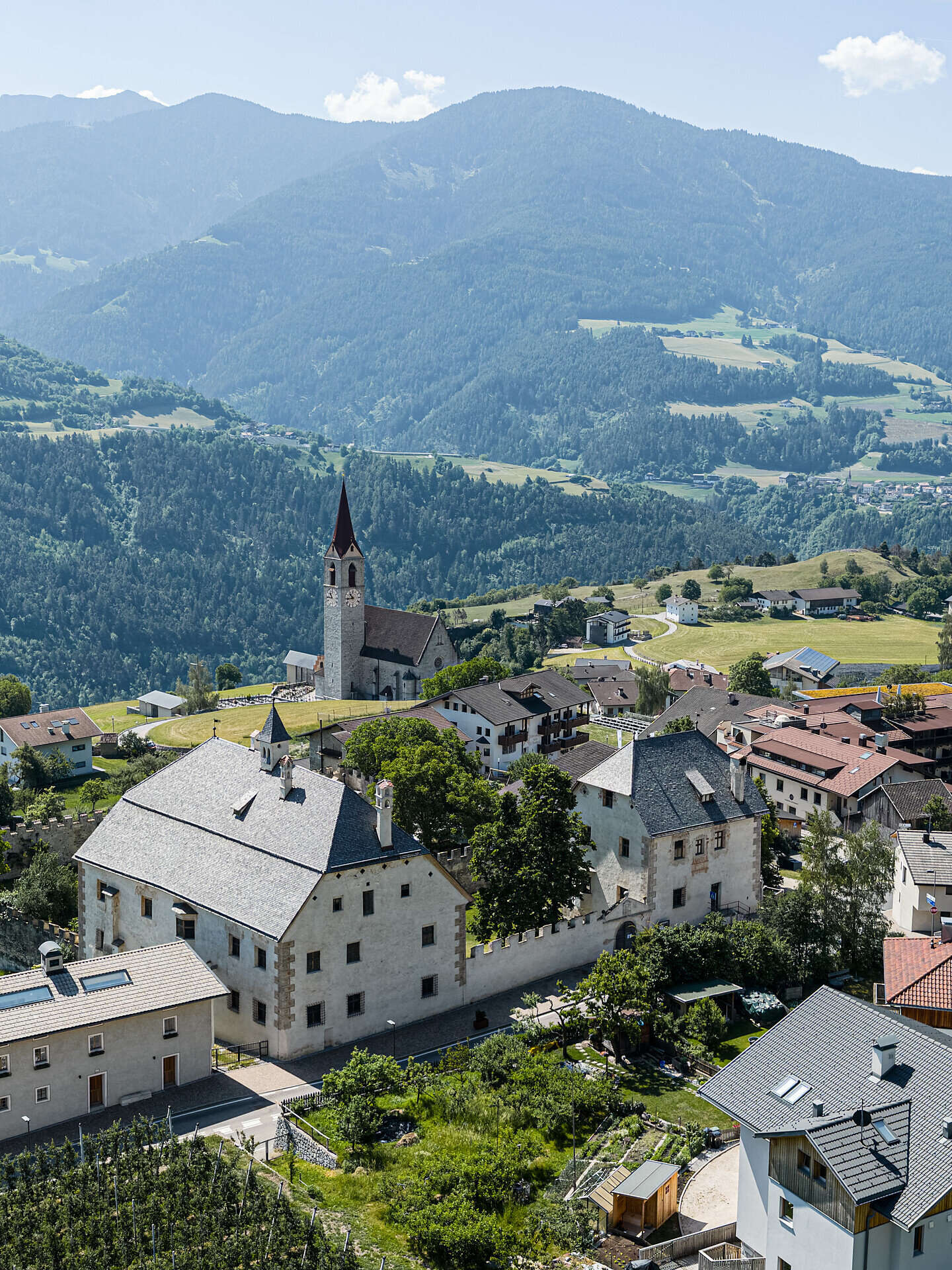
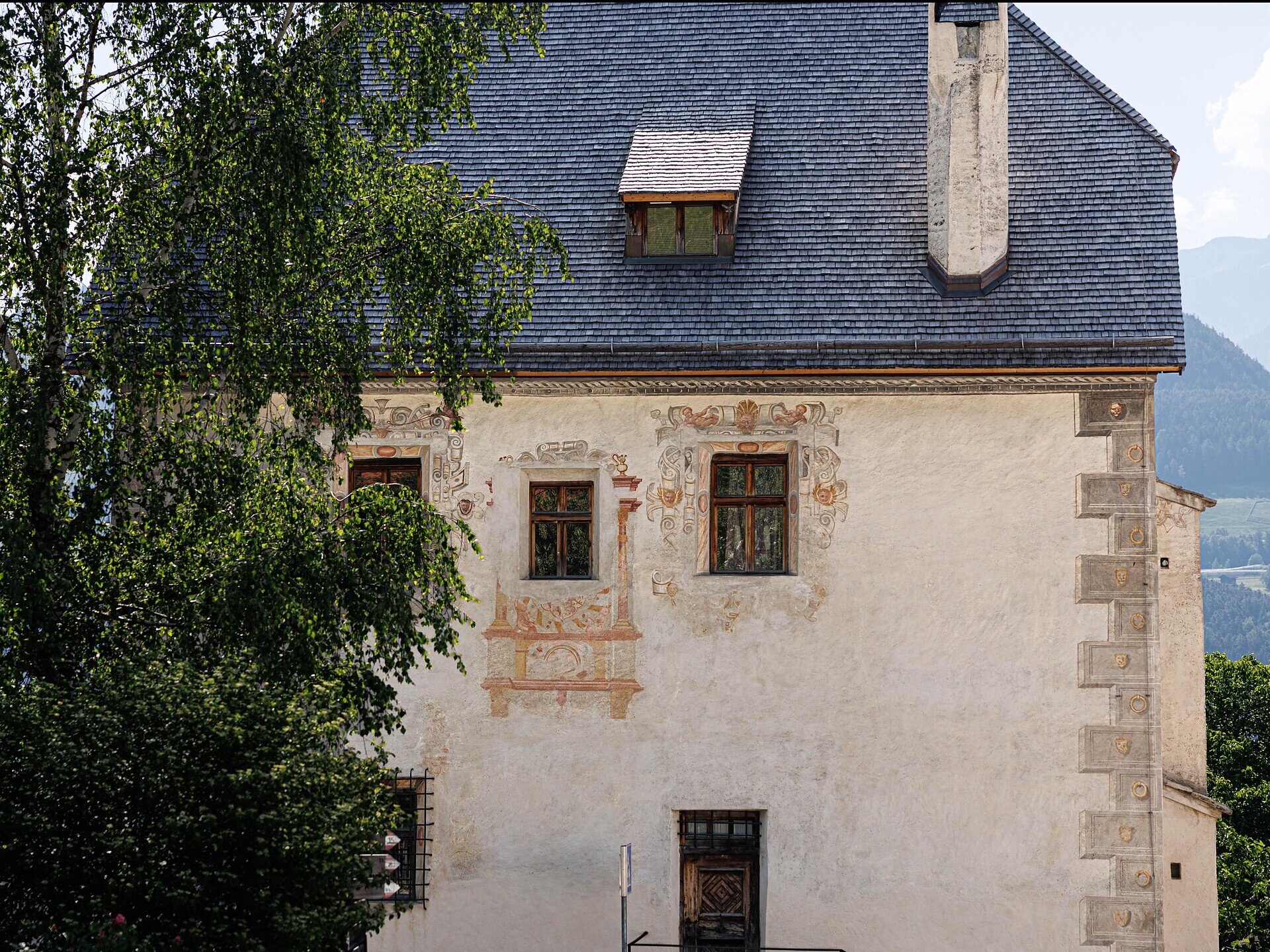
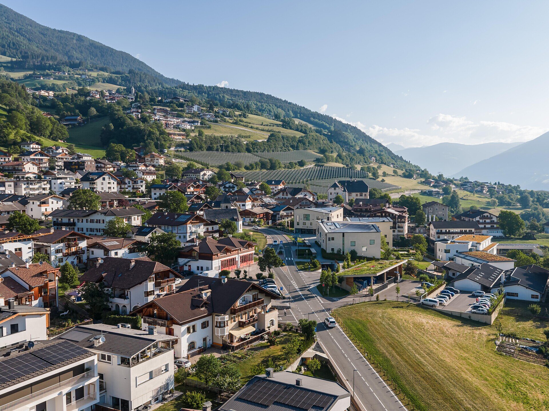
Varied hike around Feldthurns featuring Velthurns Castle, traditional farms, chestnut groves and beautiful views of the South Tyrolean landscape.
This varied hike connects beautiful places around Feldthurns and leads through the typical cultural landscape of South Tyrol. Passing Velthurns Castle, traditional farms, meadows and chestnut groves, the route offers great views and interesting insights into the area.
Gallery
Further information and useful links

Starting from Velthurns Castle, follow trail no. 18 to Schnauders. Continue along trails no. 17 and no. 16 to Garn, then follow trail no. 10 to Verdings. From there, descend on trail no. 3 to Moar zu Viersch. The return route follows the Chestnut Trail back to Feldthurns.

Categories
  • Family hikings
  • Long-distance hiking trails
  • Other hikes
Route data
Intermediate
Distance
8,5 km
Duration
2 h 45 min
Ascent
362 m
Decent
363 m
Technical skills
Physical condition
Scenary
Highest point
1.176 m
Lowest point
847 m
You might be interested in
Discover related tours
Brixen
Nature path from Natz to Brixen
Distance 7,0 km
Duration 1 h 45 min
Ascent 14 m
Decent 345 m
Status
open
Saubach | © Rene Gruber
Intermediate
Add to favourites
Klausen
Loop road "Saubacher Rundweg"
Duration 2 h 30 min
Status
open
Saubach | © Wolfgang Gafriller
Intermediate
Add to favourites
Klausen
Saubach/San Ingenuino - Rampoldsteig/Sentiero Rampold - Heidrichsberg/Monte Heidrichsberg
Distance 11,0 km
Duration 5 h 30 min
Status
open
Klausen
Feldthurns/Velturno - Garn/Caerna - Klausner Hütte/Rifugio Chiusa
Distance 19,7 km
Duration 6 h 21 min
Ascent 1.142 m
Decent 1.141 m
Status
open
Radlsee lake | © Helmuth Schranzhofer
Intermediate
Add to favourites
Klausen
Garn - Königanger peak - Radlsee lake
Distance 13,8 km
Duration 5 h 45 min
Ascent 1.059 m
Decent 1.059 m
Status
open
Moutain pastures Latzfonser and Villanderer Alm | © Tobias Kaser Photography
Intermediate
Add to favourites
Klausen
Kaseregg - Saltner Hütte – Stöfflhütte – Kaseregg
Distance 9,6 km
Duration 2 h 50 min
Ascent 386 m
Decent 386 m
Status
open
Where?
When?
Who?
Rooms
1