Skip to main content Skip to footer Sitemap

Three Summits Tour on the Plose above Bressanone/Brixen

Brixen
Add to favourites
Difficulty
Intermediate
Duration
4:26
in hours
Distance
14.3
in km
Status
open
Categories
  • Other hikes
Suggested period
Jan
Feb
Mar
Apr
May
Jun
Jul
Aug
Sep
Oct
Nov
Dec

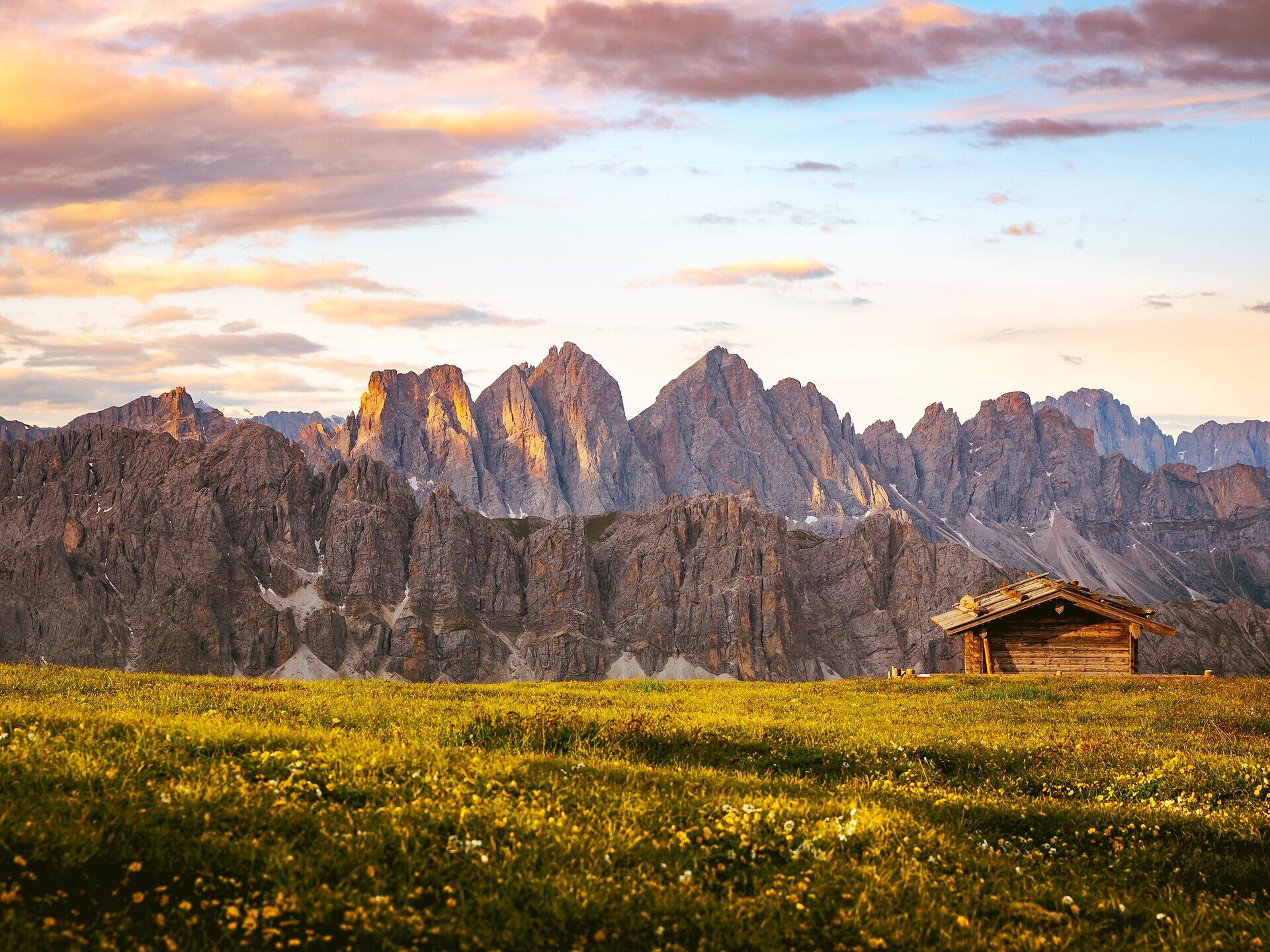
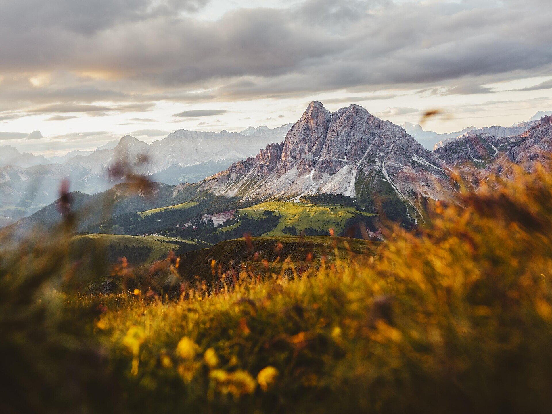
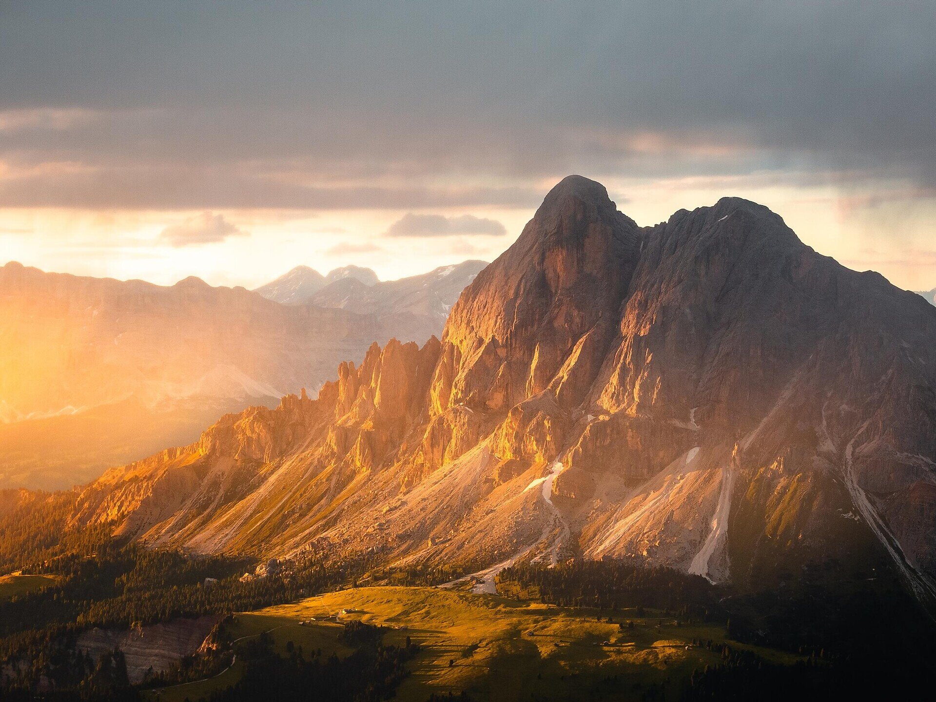
Hike on the Plose mountain overlooking Brixen/Bressanone, with views from three spectacular peaks.
Gallery
Further information and useful links

This panoramic traverse of the Plose massif starts at the top station of the Plose gondola lift and is an easy but longer day hike linking three outstanding viewpoints on the Plose, Brixen’s home mountain. You first head towards the Plose Hut and on to the Telegraph (2,486 m), complete with a panorama table and far-reaching views over the Dolomites and surrounding Alps. From there, trail no. 7 crosses the Lüsner Scharte, passing the Pfannspitz Hut and the top station of the Pfannspitz gondola lift before climbing to the Pfannspitze (2,545 m). The route then continues to Mount Gabler (2,576 m), the highest summit in the group; the final section is equipped with steel cables and requires sure-footedness. The views over wide alpine meadows and the Dolomites are magnificent. The descent follows the Gabler ridge on trail no. 7 down to the lodge Hinteralm (not serviced), then continues on forest road no. 14 past the lodge Rossalm back to Kreuztal/Valcroce.

Categories
  • Other hikes
Route data
Intermediate
Distance
14,3 km
Duration
4 h 26 min
Ascent
709 m
Decent
706 m
Technical skills
Physical condition
Scenary
Highest point
2.575 m
Lowest point
2.029 m
Suggestions

 Experiencing the sunrise on the Große Gabler is an unforgettable experience. www.plose.org/gabler 

You might be interested in
Discover related tours
Natz-Schabs
Round Trip to the Sommersürs biotope in Natz
Distance 4,0 km
Duration 1 h 30 min
Ascent 60 m
Decent 60 m
Status
open
Panorama Round Trail | © Argento Artistry
Intermediate
Add to favourites
Brixen
Panoramic Trail on the Plose Mountain
Distance 15,4 km
Duration 4 h 38 min
Ascent 625 m
Decent 625 m
Status
open
Klausen
From the Villanderer alm pasture to the Sarner Scharte ridge and the Villanderer Mountain.
Distance 17,4 km
Duration 5 h 27 min
Ascent 893 m
Decent 893 m
Status
open
Gitschberg Jochtal
The Elves' trail: an adventure for the whole family
Distance 3,1 km
Duration 55 min
Ascent 97 m
Decent 97 m
Status
open
Natz-Schabs
Raier Moos Nature Trail
Distance 2,2 km
Duration 40 min
Ascent 40 m
Decent 40 m
Status
open
Villanders Alp | © Koni Studios
Intermediate
Add to favourites
Klausen
To the Stöffelhütte in the Alps of Villanders
Distance 13,6 km
Duration 4 h 54 min
Ascent 560 m
Decent 432 m
Status
open
Where?
When?
Who?
Rooms
1