Skip to main content Skip to footer Sitemap

The Chestnut Trail from the Neustift monastery near Brixen to Terlan

Brixen
Add to favourites
Difficulty
Easy
Duration
4:00
in hours
Distance
82
in km
Status
open
Categories
  • Theme paths
  • Other hikes
Suggested period
Jan
Feb
Mar
Apr
May
Jun
Jul
Aug
Sep
Oct
Nov
Dec

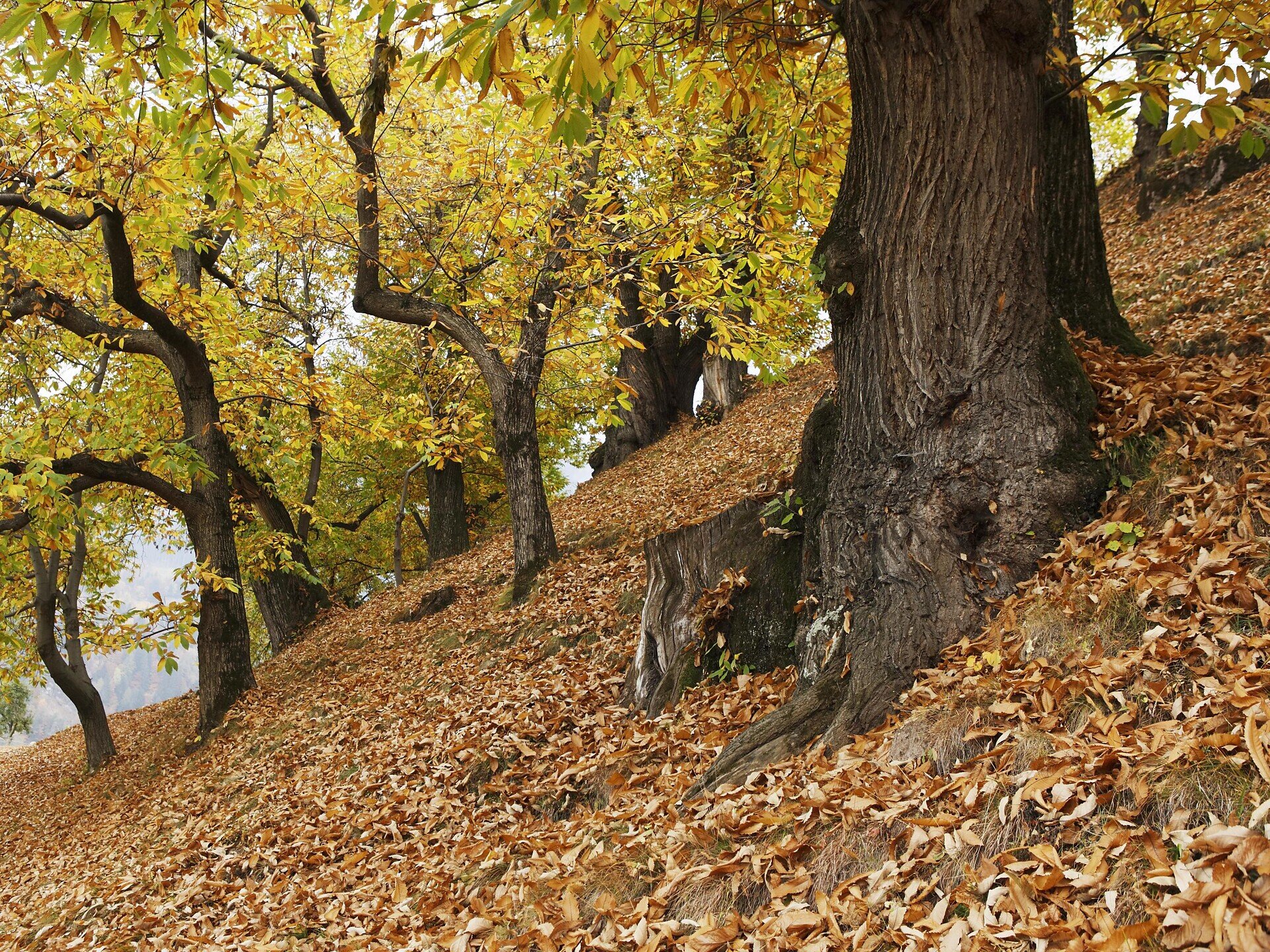
The Keschtnweg Chestnut Trail from the Neustift Monastery (560 m) to Terlan/Terlano (250 m) runs along the right bank of the Eisacktal Valley. It is in autumn, at the time of the Törggelen, that the trail is at its most eye-catching and many taverns and inns along the way offer traditional Törggelen dishes. The lush, diverse vegetation and simple, rural way of life also attracts visitors in spring and early summer.
Gallery
Further information and useful links

The moderately difficult 90 km-long Keschtnweg trail isn’t necessarily just a single, long-distance hike. It can also be broken up into separate one-day stages. The Keschtnweg is regularly signposted as it crosses the terraced slopes varying between 700 m and 980 m. 

The route can be divided into five stages, a day at a time. However, finding accommodation at the last minute could be a problem and should thus be booked in advance. In late autumn there are still many tourists visiting Brixen and its surroundings, especially during the popular Törggelen season. Info boards are positioned along the route as it crosses through a diverse landscape with mixed forests and meadows. On the trail, farmers offer regional products. The natural monuments along the Keschtnweg testify to an age-old mountain culture recounting mysterious tales of witches, fairies and spirits.

THE KESCHTNWEG

Length: ± 82 km

Altitude difference (ascent): 4,050 m

Highest point: 1,000 m (above Signat/Signato on the Ritten/Renon)

Sections: 5 stages

Difficulty level: moderate – but no special equipment is required

Recommended period: from March to November.

Categories
  • Theme paths
  • Other hikes
Route data
Easy
Distance
82,0 km
Duration
4 h 00 min
Ascent
4.050 m
Decent
4.318 m
Technical skills
Physical condition
Scenary
Highest point
1.000 m
Lowest point
305 m
You might be interested in
Discover related tours
Waterfall | © Gemeinde Barbian
Intermediate
Add to favourites
Klausen
Barbian/Barbiano- waterfall- Dreikirchen/Trechiese
Duration 3 h 00 min
Status
open
Toten Church | © Helmut Moling
Intermediate
Add to favourites
Klausen
From Villanders to the "Totensee"
Distance 15,4 km
Duration 4 h 30 min
Ascent 690 m
Decent 728 m
Status
open
Villanders Alp | © Koni Studios
Intermediate
Add to favourites
Klausen
To the Stöffelhütte in the Alps of Villanders
Distance 13,6 km
Duration 4 h 54 min
Ascent 560 m
Decent 432 m
Status
open
Gitschberg Jochtal
Devils' Stone and Pertinger Alm hut in Terenten
Distance 2,6 km
Duration 1 h 01 min
Ascent 281 m
Decent 0 m
Status
open
Brixen
S. Andrea – Cornale Way of the Cross
Distance 5,4 km
Duration 1 h 21 min
Status
open
Three-Peak Tour | © Matthias gasser_BTG
Intermediate
Add to favourites
Brixen
Three Summits Tour on the Plose above Bressanone/Brixen
Distance 14,3 km
Duration 4 h 26 min
Ascent 709 m
Decent 706 m
Status
open
Where?
When?
Who?
Rooms
1