Skip to main content Skip to footer Sitemap

The Birmehl Trail

Klausen
Add to favourites
Difficulty
Intermediate
Duration
1:00
in hours
Distance
3.1
in km
Status
open
Categories
  • Other hikes
Suggested period
Jan
Feb
Mar
Apr
May
Jun
Jul
Aug
Sep
Oct
Nov
Dec
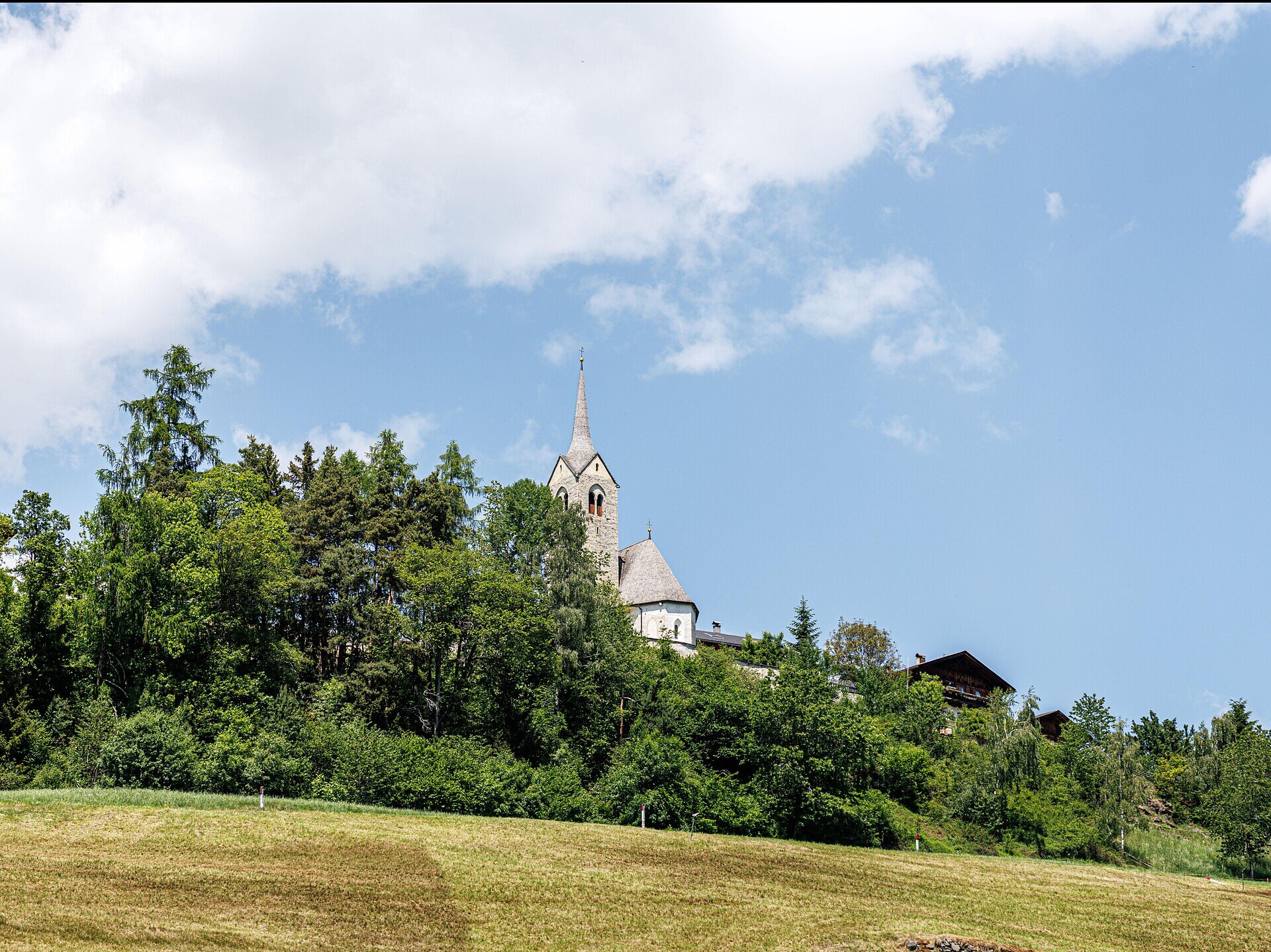
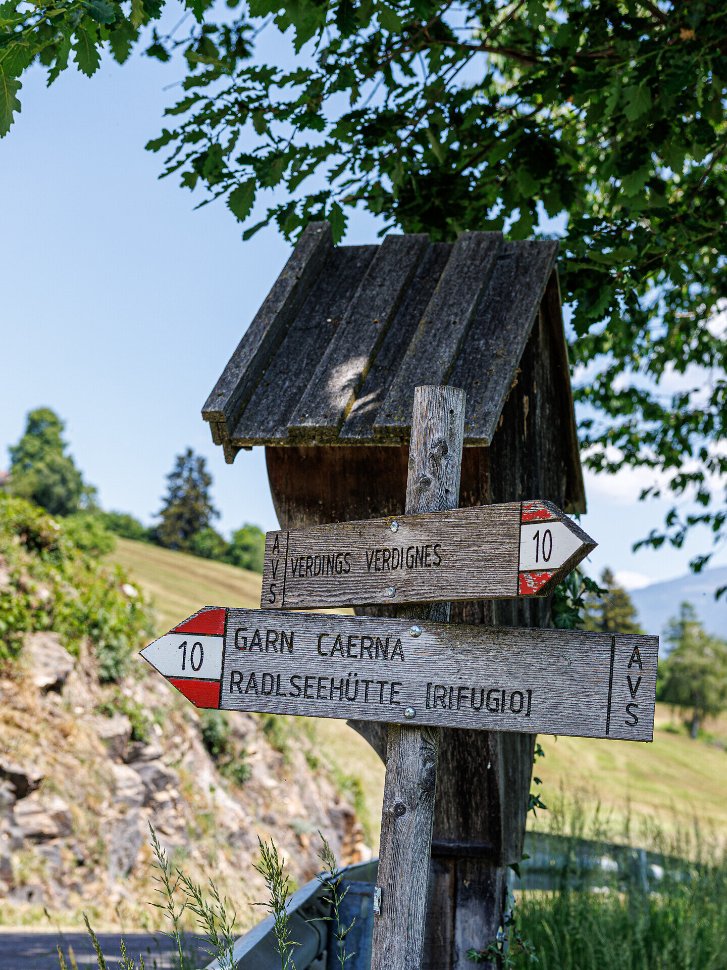
The “Birmehlweg” starts at the village square in Verdings and leads across the sunny dry grasslands on the southern side of the church hill down to the idyllic hamlet of Pardell. From there, the trail continues uphill to the charming Moar zu Viersch farm. The circular hike then returns to the starting point via an old paved path. This varied route combines nature, landscapes, and historic trails, creating a special hiking experience.
Gallery
Further information and useful links
The hike starts at the village square in Verdings and initially leads across the dry grasslands on the southern side of the church hill towards Pardell. From the hamlet of Pardell, the trail continues uphill to the Moar zu Viersch farm. The route then returns to Verdings via an old paved path, leading back to the starting point
Categories
  • Other hikes
Route data
Intermediate
Distance
3,1 km
Duration
1 h 00 min
Ascent
191 m
Decent
191 m
Technical skills
Physical condition
Scenary
Highest point
963 m
Lowest point
774 m
You might be interested in
Discover related tours
Castle Friedburg Kollmann | © Rene Gruber
Intermediate
Add to favourites
Klausen
Barbiano/Barbian -S. Ingenuino/Saubach -Colma-Barbiano/Barbian
Distance 7,9 km
Duration 2 h 28 min
Ascent 428 m
Decent 429 m
Status
open
Klausen
Saltnerstein (Gasser Hut) – Cross "Latzfonser Kreuz" – Saltnerstein
Distance 22,6 km
Duration 7 h 15 min
Ascent 1.002 m
Decent 1.002 m
Status
open
Villanders Alp | © Koni Studios
Intermediate
Add to favourites
Klausen
Gasser Hütte- Rittner Horn
Distance 6,4 km
Duration 2 h 06 min
Ascent 538 m
Decent 38 m
Status
open
Gitschberg Jochtal
Historic trail of Mühlbach: A walk through 750 years of history
Distance 1,3 km
Duration 30 min
Ascent 24 m
Decent 24 m
Status
open
Klausen
Villanders - Gasser Hütte
Distance 5,9 km
Duration 2 h 40 min
Ascent 898 m
Decent 9 m
Status
open
Gitschberg Jochtal
From the Fane Alm mountain pasture to the wilde see lake and up to the wilde kreuzspitze peak
Distance 16,7 km
Duration 6 h 02 min
Ascent 1.495 m
Decent 1.495 m
Status
open
Where?
When?
Who?
Rooms
1