Skip to main content Skip to footer Sitemap

The Archeopfad Archaeological Trail in Brixen

Brixen
Add to favourites
Difficulty
Easy
Duration
1:38
in hours
Distance
5.1
in km
Status
open
Categories
  • Theme paths
  • Family hikings
Suggested period
Jan
Feb
Mar
Apr
May
Jun
Jul
Aug
Sep
Oct
Nov
Dec

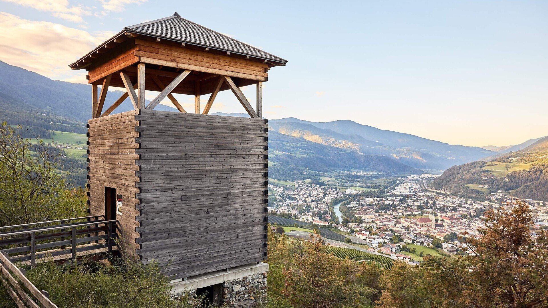
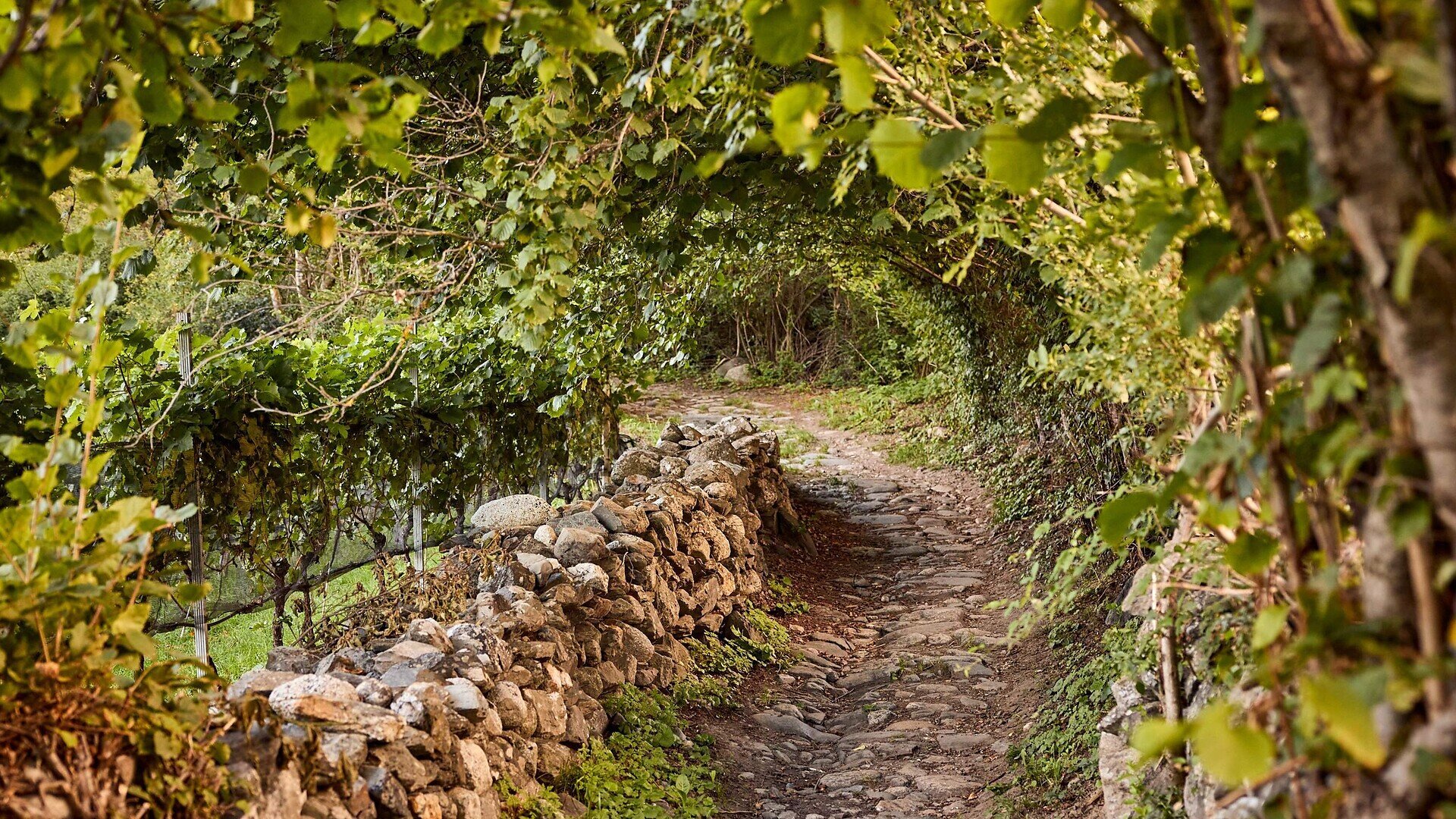
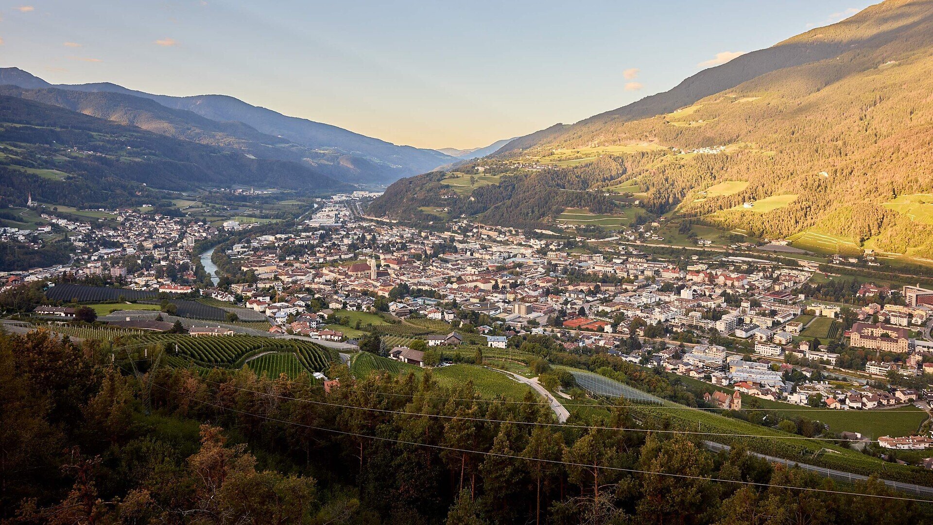
The Archeopfad Trail leads to the old Roman tower in Stufels/Stufles, the historical quarter in Brixen/Bressanone. From up there, a wonderful view opens out on the “Land an der Etsch” (the lands of the River Etsch), as this southern part of Tyrol was once known. The trail, retracing the old Roman paths, leads to historical monuments and ancient places of worship.

This hike offers both novel as well as tried and tested attractions even for seasoned visitors to South Tyrol.
Gallery
Further information and useful links

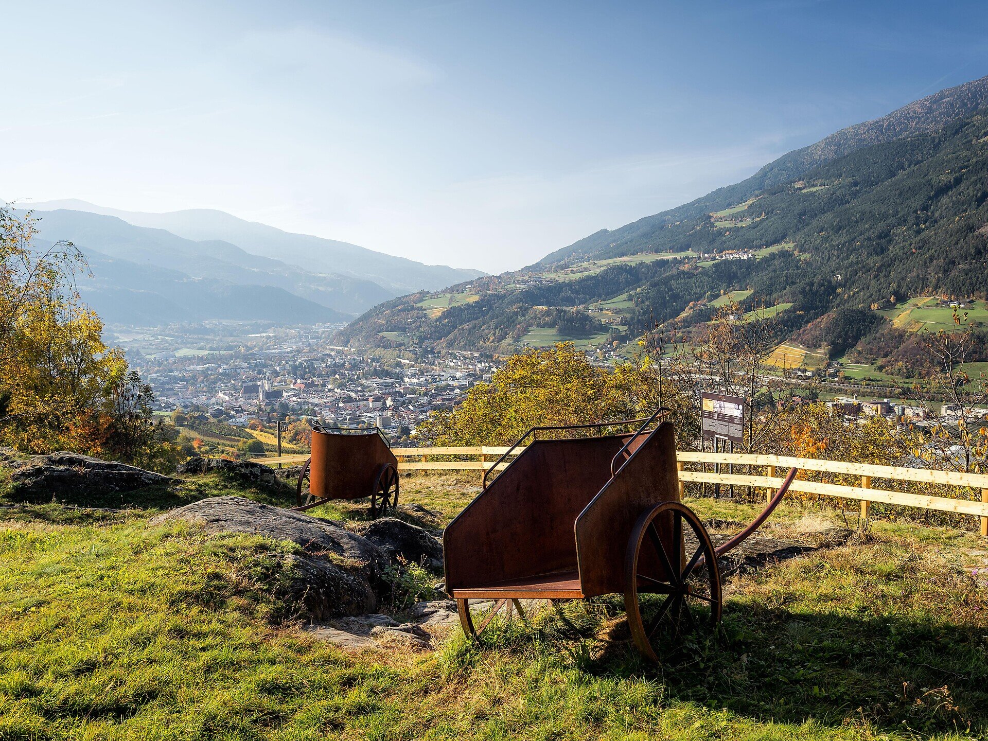
Starting at Adlerbrücke bridge and following the narrow lanes of Stufels, the Archeopfad rises slightly as it passes the vineyards before it reaches the Guggerhof parking lot. Continue along trail no. 1 as it gently climbs towards Elvas (palisades, shell stones). Turn left towards Pinazbühel hill to visit to the observation tower and weather cross (recommended). After visiting the school exhibition in Elvas, follow trail no. 2 past the church (note the markings left by the wheels of the old Roman chariots in the paved road). Cross the tarred road and follow the farm road south through the vineyards back to Brixen.

Categories
  • Theme paths
  • Family hikings
Route data
Easy
Distance
5,1 km
Duration
1 h 38 min
Ascent
286 m
Decent
286 m
Technical skills
Physical condition
Scenary
Highest point
845 m
Lowest point
559 m
Suggestions

Visit the Archeological exhibition in Stufels

You might be interested in
Discover related tours
Teis - Tiso | © Tourismusverband Eisacktal
Intermediate
Add to favourites
Brixen
From Albeins to Teis
Distance 8,8 km
Duration 2 h 47 min
Ascent 465 m
Decent 465 m
Status
open
Klausen
On the Villandro Alp plateau – ideal for families.
Distance 3,6 km
Duration 1 h 54 min
Ascent 124 m
Decent 124 m
Status
open
Klausen
Overlook “Gamp”
Distance 1,2 km
Duration 30 min
Ascent 89 m
Decent 42 m
Status
open
Klausen
Sunday Path
Distance 1,8 km
Duration 40 min
Ascent 167 m
Decent 0 m
Status
open
Natz-Schabs
From Aicha/Aica to the Stöcklvater Church in Mühlbach/ rio di Pusteria
Distance 9,3 km
Duration 2 h 30 min
Ascent 140 m
Decent 140 m
Status
open
Rittner Horn | © Wolfgang Gafriller
Intermediate
Add to favourites
Klausen
From the village of Barbian to the Rittner Horn
Distance 10,7 km
Duration 3 h 30 min
Ascent 666 m
Decent 666 m
Status
open
Where?
When?
Who?
Rooms
1