Skip to main content Skip to footer Sitemap

Sunshine refill spot at Mosereck in Terenten

Gitschberg Jochtal
Add to favourites
Difficulty
Intermediate
Duration
2:30
in hours
Distance
6.4
in km
Status
closed
Categories
  • Other hikes
Suggested period
Jan
Feb
Mar
Apr
May
Jun
Jul
Aug
Sep
Oct
Nov
Dec
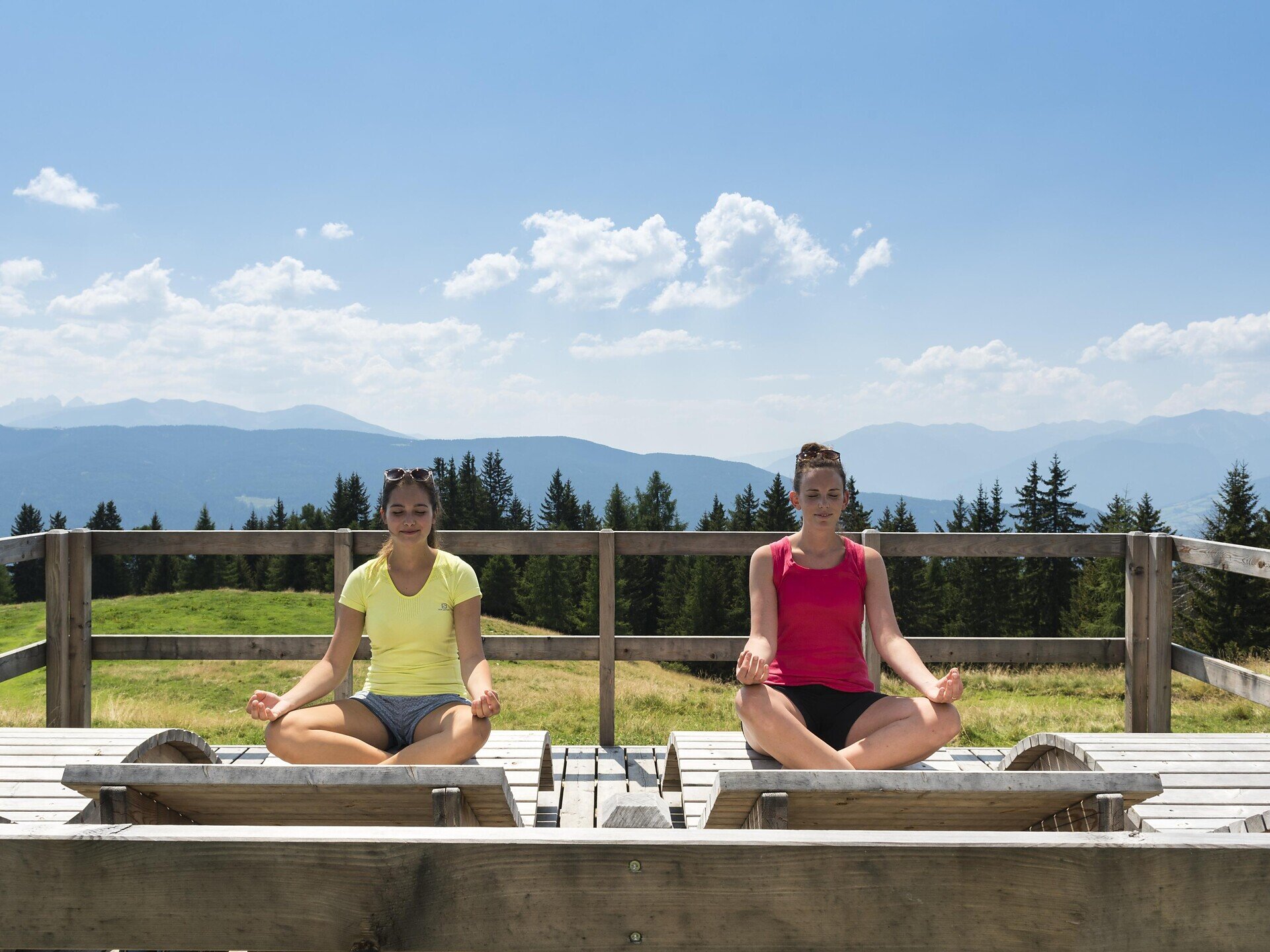
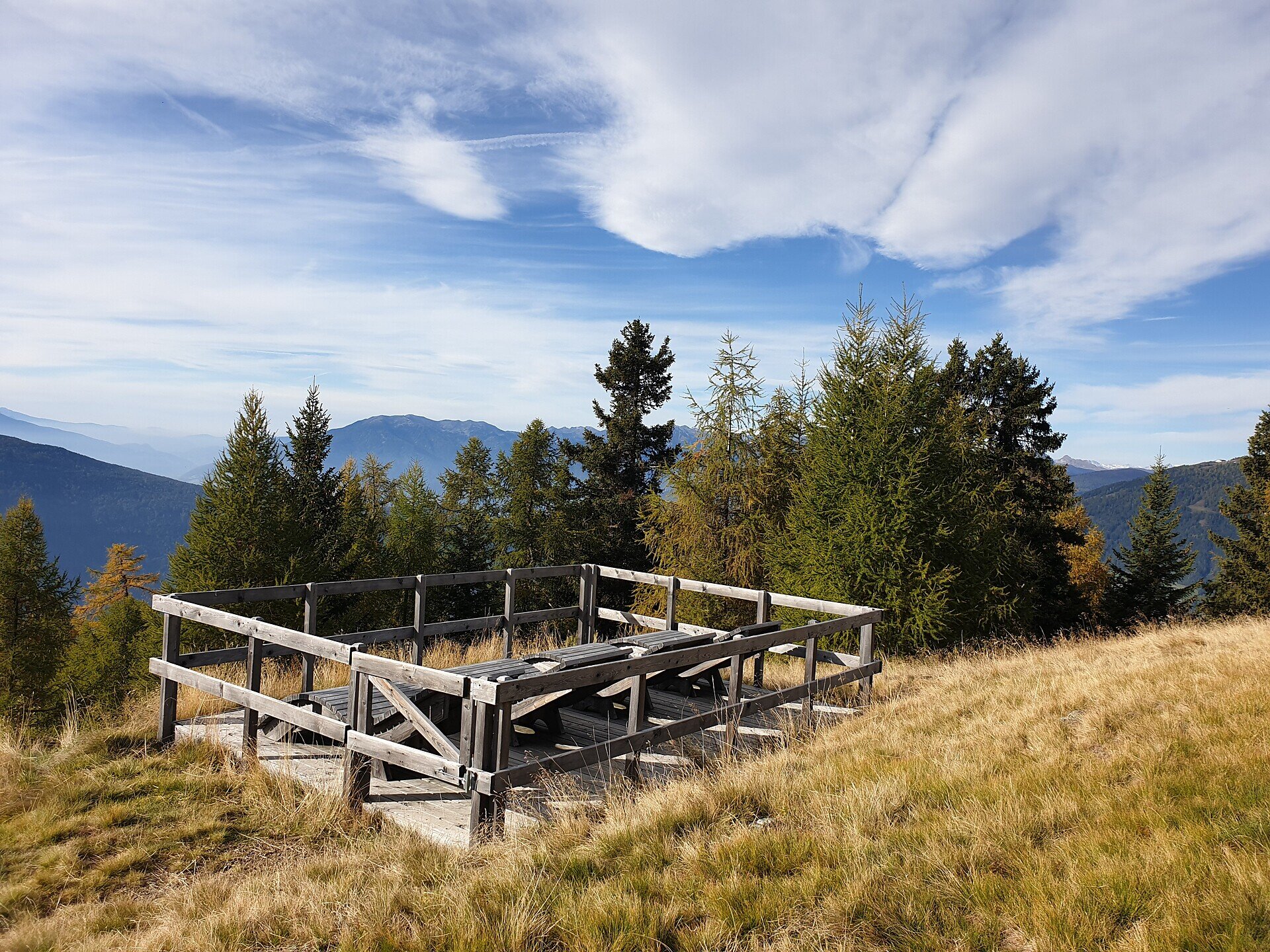
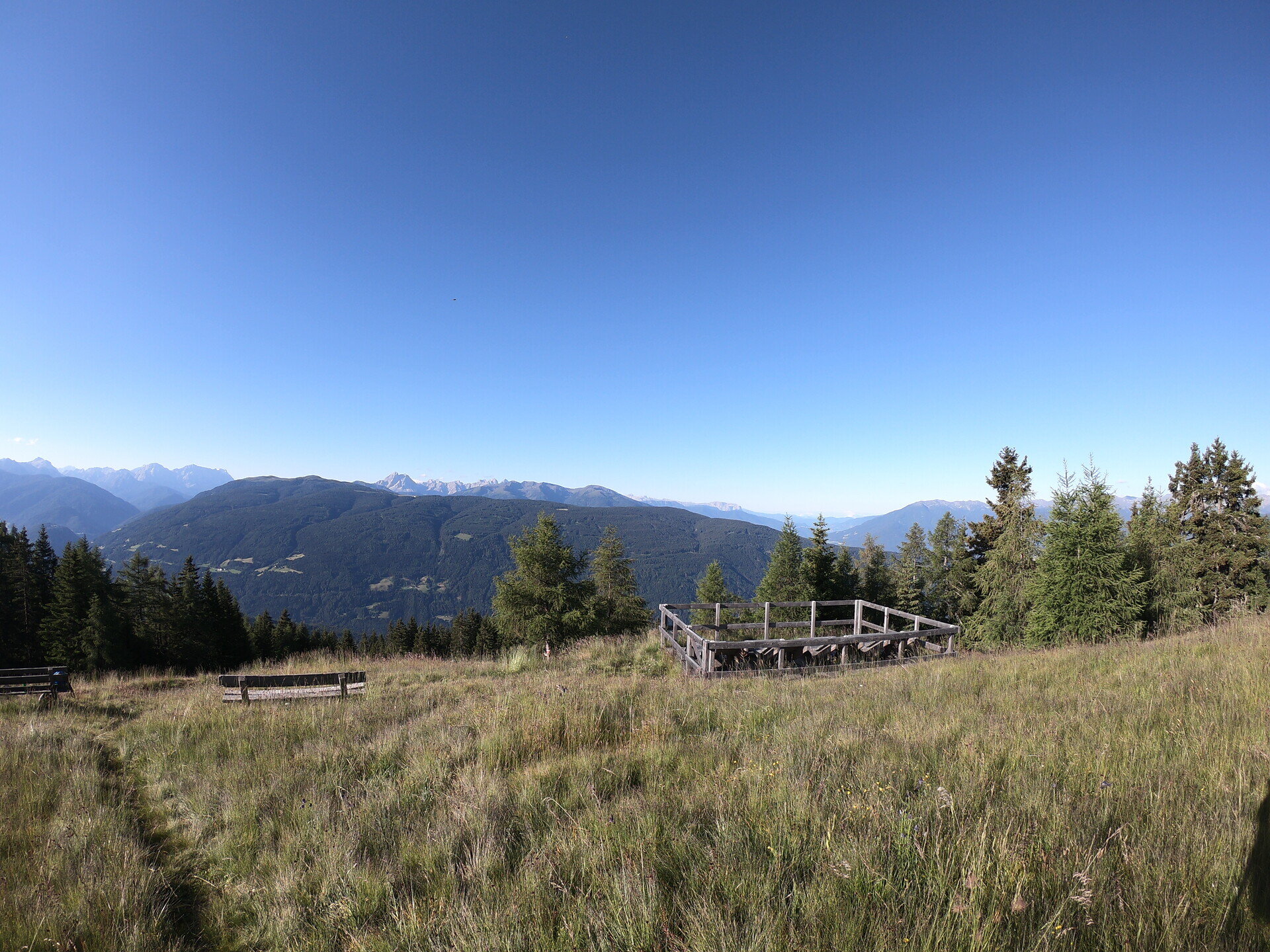
The hike to the Vitamin D Stations at Mosereck is ideal for enjoying the sunshine and the peaceful mountain surroundings. The route is a good choice if you want to combine relaxation with time in nature.
Gallery
Further information and useful links

The starting point of the hike is the village centre in Terenten. From there, head north along the Mill Trail. The trail passes the earth pyramids and the historic mills before reaching a parking lot above the mills, which can also be used as an alternative starting point.

After a short section on the paved road, turn onto the forest road marked Trail No. 8B. It climbs steadily to the unmanaged Moseralm. Here, you can enjoy the peace and relax on the sun loungers. Return along the same route. The hike ends back at the village centre in Terenten.

Categories
  • Other hikes
Route data
Intermediate
Distance
6,4 km
Duration
2 h 30 min
Ascent
686 m
Decent
5 m
Technical skills
Physical condition
Scenary
Highest point
1.888 m
Lowest point
1.212 m
You might be interested in
Discover related tours
Natz-Schabs
From Church to Church near Natz|Naz
Distance 5,5 km
Duration 1 h 35 min
Ascent 124 m
Decent 124 m
Status
open
Brixen
From Natz to the Historic Brixen
Distance 5,5 km
Duration 1 h 30 min
Status
open
Gitschberg Jochtal
circular hiking trail 'Stocknertal' in Terenten
Distance 3,2 km
Duration 56 min
Ascent 111 m
Decent 111 m
Status
open
Latzfons Cross | © Roter Rucksack
Intermediate
Add to favourites
Klausen
Kaseregg-Rifugio S. Croce di Lazfons
Distance 7,4 km
Duration 2 h 50 min
Ascent 507 m
Decent 507 m
Status
open
Gitschberg Jochtal
Historic trail of Mühlbach: A walk through 750 years of history
Distance 1,3 km
Duration 30 min
Ascent 24 m
Decent 24 m
Status
open
Gitschberg Jochtal
Dolorama trail
Distance 61,0 km
Duration 96 h 00 min
Ascent 2.479 m
Decent 2.777 m
Status
open
Where?
When?
Who?
Rooms
1