Skip to main content Skip to footer Sitemap

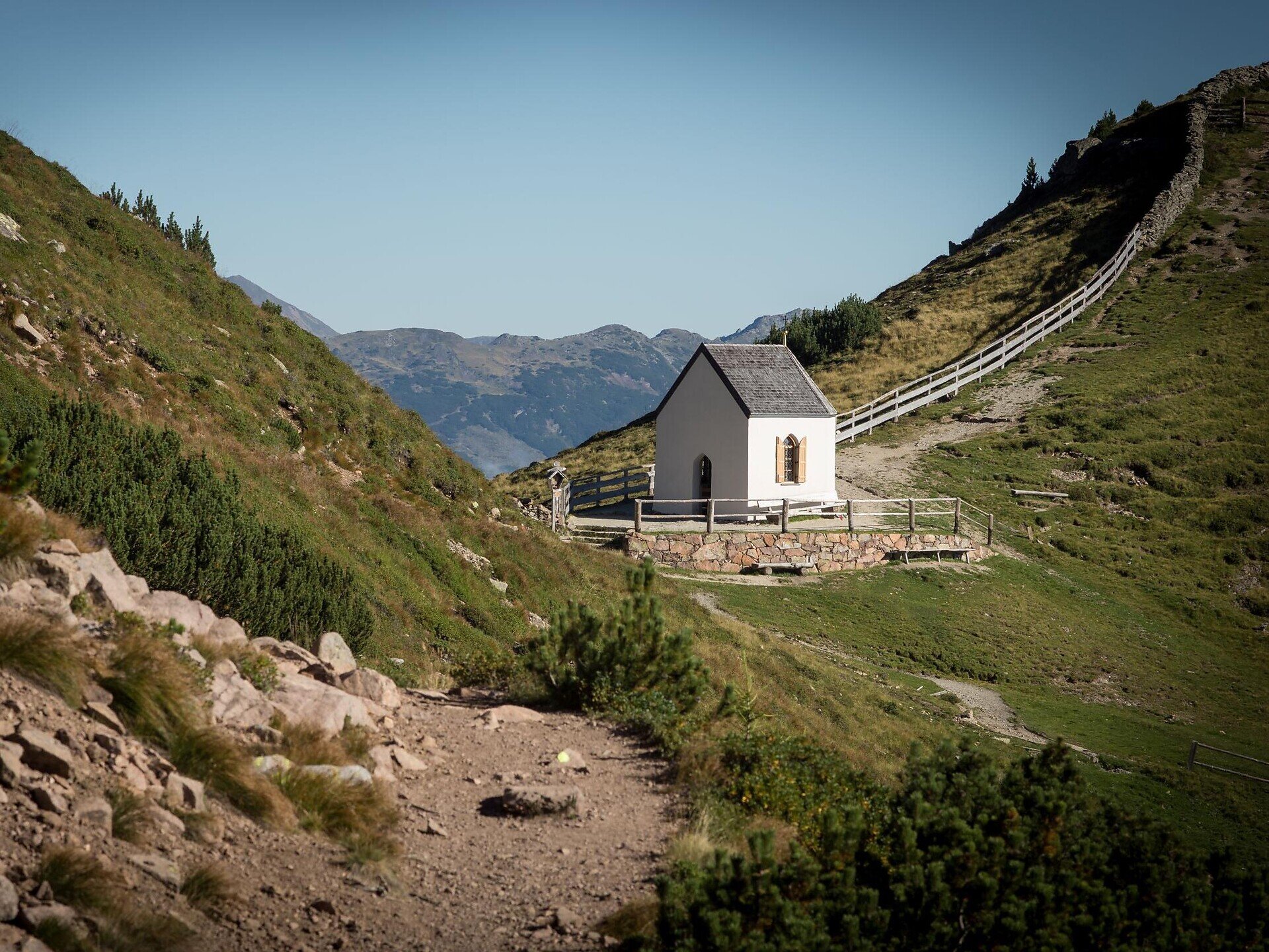
Saltnerstein (Gasser Hut) – church "Toten" – Saltnerstein

Klausen
Add to favourites
Difficulty
Intermediate
Duration
4:25
in hours
Distance
14.4
in km
Status
open
Categories
  • Other hikes
Suggested period
Jan
Feb
Mar
Apr
May
Jun
Jul
Aug
Sep
Oct
Nov
Dec
Gallery
Further information and useful links
Categories
  • Other hikes
Route data
Intermediate
Distance
14,4 km
Duration
4 h 25 min
Ascent
569 m
Decent
569 m
Technical skills
Physical condition
Scenary
Highest point
2.223 m
Lowest point
1.749 m
You might be interested in
Discover related tours
nature solarium | © Hannes Niederkofler
Intermediate
Add to favourites
Gitschberg Jochtal
Sunshine refill spot at Gols in Terenten
Distance 6,2 km
Duration 2 h 17 min
Ascent 580 m
Decent 10 m
Status
open
Klausen
From the Villanderer alm pasture to the Sarner Scharte ridge and the Villanderer Mountain.
Distance 17,4 km
Duration 5 h 27 min
Ascent 893 m
Decent 893 m
Status
open
panoramic path | © TV Terenten
Intermediate
Add to favourites
Gitschberg Jochtal
Panoramic trail around Terenten
Distance 15,6 km
Duration 5 h 00 min
Ascent 599 m
Decent 599 m
Status
open
Fane Alm | © TG Gitschberg Jochtal
Intermediate
Add to favourites
Gitschberg Jochtal
Milk trail: From Vals to the Fane Alm
Distance 2,8 km
Duration 1 h 15 min
Ascent 359 m
Decent 0 m
Status
open
Waterfal | © Wolfgang Gafriller
Intermediate
Add to favourites
Klausen
Tour 2 to the cascate and Trechiese/Dreikirchen
Distance 6,0 km
Duration 3 h 30 min
Status
open
Mermaid Pond | © Wolfgang Gafriller
Intermediate
Add to favourites
Klausen
Round of the Kaserklopf in Barbiano/Barbian
Duration 2 h 00 min
Status
open
Where?
When?
Who?
Rooms
1