Skip to main content Skip to footer Sitemap

S. Andrea – Cornale Way of the Cross

Brixen
Add to favourites
Difficulty
Easy
Duration
1:21
in hours
Distance
5.4
in km
Status
open
Categories
  • Family hikings
  • Other hikes
Suggested period
Jan
Feb
Mar
Apr
May
Jun
Jul
Aug
Sep
Oct
Nov
Dec

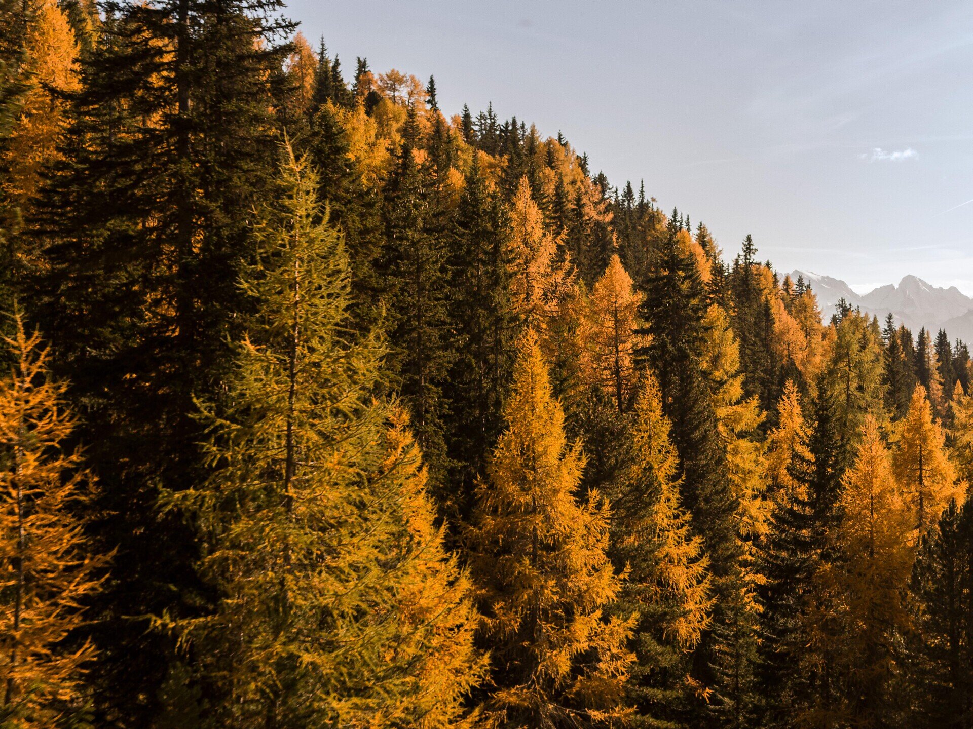
Along the road to S. Leonardo/St. Leonhard, until the settlement area to the left (signposted), along a forest paths north to Cornale/Karnol, there uphill along the field trail no. 6 to Burgstall. Back direction south though the forest (trail no. 12) on the sports grounds to the starting point.
Gallery
Categories
  • Family hikings
  • Other hikes
Route data
Easy
Distance
5,4 km
Duration
1 h 21 min
Technical skills
Physical condition
Scenary
You might be interested in
Discover related tours
Gitschberg Jochtal
The Pfunderer high altitude trail
Distance 72,0 km
Duration 8 h 00 min
Ascent 5.606 m
Decent 5.746 m
Status
open
Moutain pastures Latzfonser and Villanderer Alm | © Tobias Kaser Photography
Intermediate
Add to favourites
Klausen
Kaseregg - Saltner Hütte – Stöfflhütte – Kaseregg
Distance 9,6 km
Duration 2 h 50 min
Ascent 386 m
Decent 386 m
Status
open
Afers - Eores | © Brixen Tourismus Gen.
Intermediate
Add to favourites
Brixen
From St. Andrä to the Freienbühel pilgrimage church - Kreuzweg Trail (St. Gerog / Afers)
Distance 5,9 km
Duration 2 h 31 min
Ascent 716 m
Decent 279 m
Status
open
Latzfons Cross | © Roter Rucksack
Intermediate
Add to favourites
Klausen
Kaseregg-Rifugio S. Croce di Lazfons
Distance 7,4 km
Duration 2 h 50 min
Ascent 507 m
Decent 507 m
Status
open
Terner Joch | © TG Gitschberg Jochtal
Intermediate
Add to favourites
Gitschberg Jochtal
Am Joch peak: Scenic Hike in Terenten
Distance 6,1 km
Duration 2 h 30 min
Ascent 827 m
Decent 10 m
Status
open
nature solarium | © Hannes Niederkofler
Intermediate
Add to favourites
Gitschberg Jochtal
Sunshine refill spot at Gols in Terenten
Distance 6,2 km
Duration 2 h 17 min
Ascent 580 m
Decent 10 m
Status
open
Where?
When?
Who?
Rooms
1