Skip to main content Skip to footer Sitemap

Round Trip to the Sommersürs biotope in Natz

Natz-Schabs
Add to favourites
Difficulty
Easy
Duration
1:30
in hours
Distance
4
in km
Status
open
Categories
  • Family hikings
  • Suitable for prams
  • Other hikes
Suggested period
Jan
Feb
Mar
Apr
May
Jun
Jul
Aug
Sep
Oct
Nov
Dec

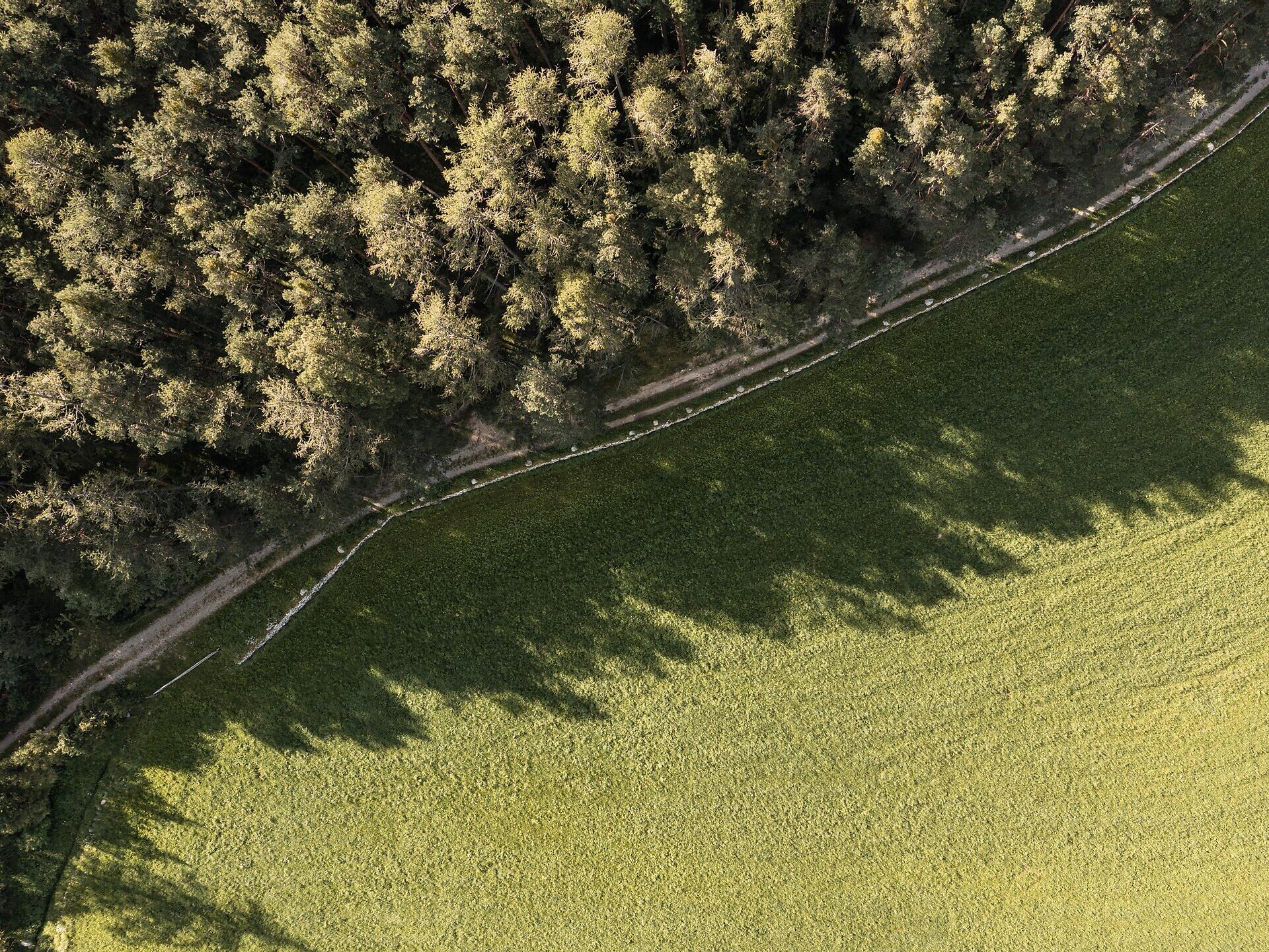
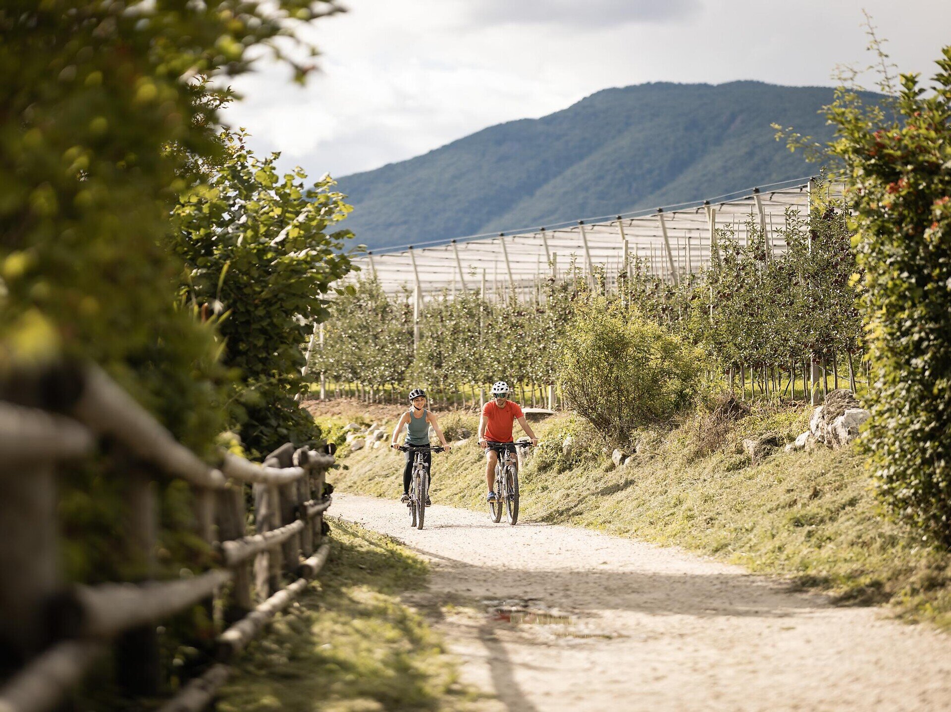
The hike begins from the town square in Natz proceeding in the direction of Viums. After 200 meters, you reach the fork, where you turn left on trail no. 1 towards the Sommersürs biotope. The way leads past the biotope on trail no. 5 to the Flötscher Weiher pond. Follow the trail no. 5A leading to the main street, then walk on the sidewalk towards Natz for about 700m until you reach the sign „Wiesenweg“ . There you turn left and follow the trail thourgh fields and meadows until you reach your starting point.

Alternative: You can cross the road after having reached trail no. 5 and walk for about 30 minutes on a nice forest path to go round “Mesnerbühel”.
Gallery
Categories
  • Family hikings
  • Suitable for prams
  • Other hikes
Route data
Easy
Distance
4,0 km
Duration
1 h 30 min
Ascent
60 m
Decent
60 m
Technical skills
Physical condition
Scenary
You might be interested in
Discover related tours
Klausen
Villanders - Gasser Hütte
Distance 5,9 km
Duration 2 h 40 min
Ascent 898 m
Decent 9 m
Status
open
Spinges | © TG Gitschberg Jochtal
Intermediate
Add to favourites
Gitschberg Jochtal
From Bunker to the Anratterhütte
Distance 6,2 km
Duration 2 h 30 min
Ascent 519 m
Decent 50 m
Status
open
St. Anna | © Helmut Moling
Intermediate
Add to favourites
Klausen
From Villanders to the chapel Saint Anna
Distance 7,5 km
Duration 2 h 46 min
Ascent 450 m
Decent 470 m
Status
open
Mountain pastures Villanderer Alm | © Harald Wisthaler
Intermediate
Add to favourites
Klausen
Circular route Alp of Villanders/Villandro
Distance 13,3 km
Duration 4 h 00 min
Ascent 498 m
Decent 498 m
Status
open
Gitschberg Jochtal
circular hiking trail Terenten - Pichlern
Distance 8,9 km
Duration 2 h 29 min
Ascent 221 m
Decent 221 m
Status
open
panoramic path | © TV Terenten
Intermediate
Add to favourites
Gitschberg Jochtal
Panoramic trail around Terenten
Distance 15,6 km
Duration 5 h 00 min
Ascent 599 m
Decent 599 m
Status
open
Where?
When?
Who?
Rooms
1