Skip to main content Skip to footer Sitemap

Round Trip from Rodeneck to Natz

Natz-Schabs
Add to favourites
Difficulty
Intermediate
Duration
4:30
in hours
Distance
13.6
in km
Status
open
Categories
  • Other hikes
Suggested period
Jan
Feb
Mar
Apr
May
Jun
Jul
Aug
Sep
Oct
Nov
Dec

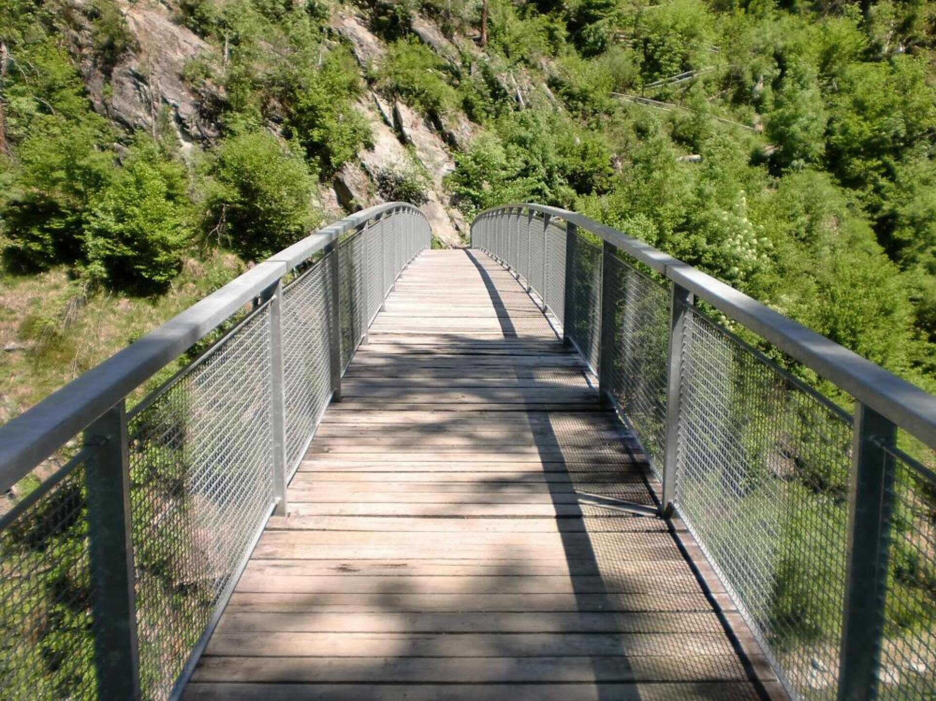
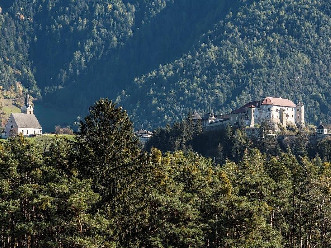
From Natz, the path leads down the Rienzschlucht gorge on trail no. 4; there you cross the Rienz river on the pedestrian bridge and walk up to the Niedersthof farm. After about 800 meters in the direction of Lüsen, a trail branches off to Rodeneck. Past the wayside shrine, follow trail no. 1 to Rodenegg Castle via the hamlets of Spisses and Vill. The path (still on trail no. 1) leads through the forest down to the Rienzschlucht gorge and over the Rundlbrücke bridge, back to Viums and Natz.
Gallery
Categories
  • Other hikes
Route data
Intermediate
Distance
13,6 km
Duration
4 h 30 min
Ascent
830 m
Decent
830 m
Technical skills
Physical condition
Scenary
Highest point
991 m
Lowest point
591 m
You might be interested in
Discover related tours
Almhüttenrundweg | © TG Gitschberg Jochtal
Intermediate
Add to favourites
Gitschberg Jochtal
Gitschberg Alpine Hut Circuit
Distance 10,9 km
Duration 4 h 30 min
Ascent 653 m
Decent 653 m
Status
open
Colle Libero | © Brixen Tourismus Gen.
Intermediate
Add to favourites
Brixen
Colle Libero – Valcroce Hike
Distance 7,8 km
Duration 4 h 10 min
Status
open
Villanders Mountain | © Rene Gruber
Intermediate
Add to favourites
Klausen
Saltnerstein (Gasser Hut) - Mountain of Villanders
Distance 17,3 km
Duration 5 h 19 min
Ascent 942 m
Decent 942 m
Status
open
Mountain pasture Barbianer Alm | © Wolfgang Gafriller
Intermediate
Add to favourites
Klausen
Round of the Rittner Horn
Distance 10,0 km
Duration 4 h 00 min
Status
open
Three-Peak Tour | © Matthias gasser_BTG
Intermediate
Add to favourites
Brixen
Three Summits Tour on the Plose above Bressanone/Brixen
Distance 14,3 km
Duration 4 h 26 min
Ascent 709 m
Decent 706 m
Status
open
View | © TG Natz-Schabs, Florian Andergassen
Intermediate
Add to favourites
Natz-Schabs
From Aicha/Aica to Spinges/Spinga
Distance 7,5 km
Duration 3 h 00 min
Ascent 446 m
Decent 446 m
Status
open
Where?
When?
Who?
Rooms
1