
The Kaserklopf circular hike leads through the varied woodland and meadow landscape above Barbian. From the car park above Tröglerhof, the route initially leads to the idyllic Nixenteich pond. From here, you can choose between two options: the first passes through Stangen and Briol, while the second leads below the Huber Kreuz car park and continues towards Briol.
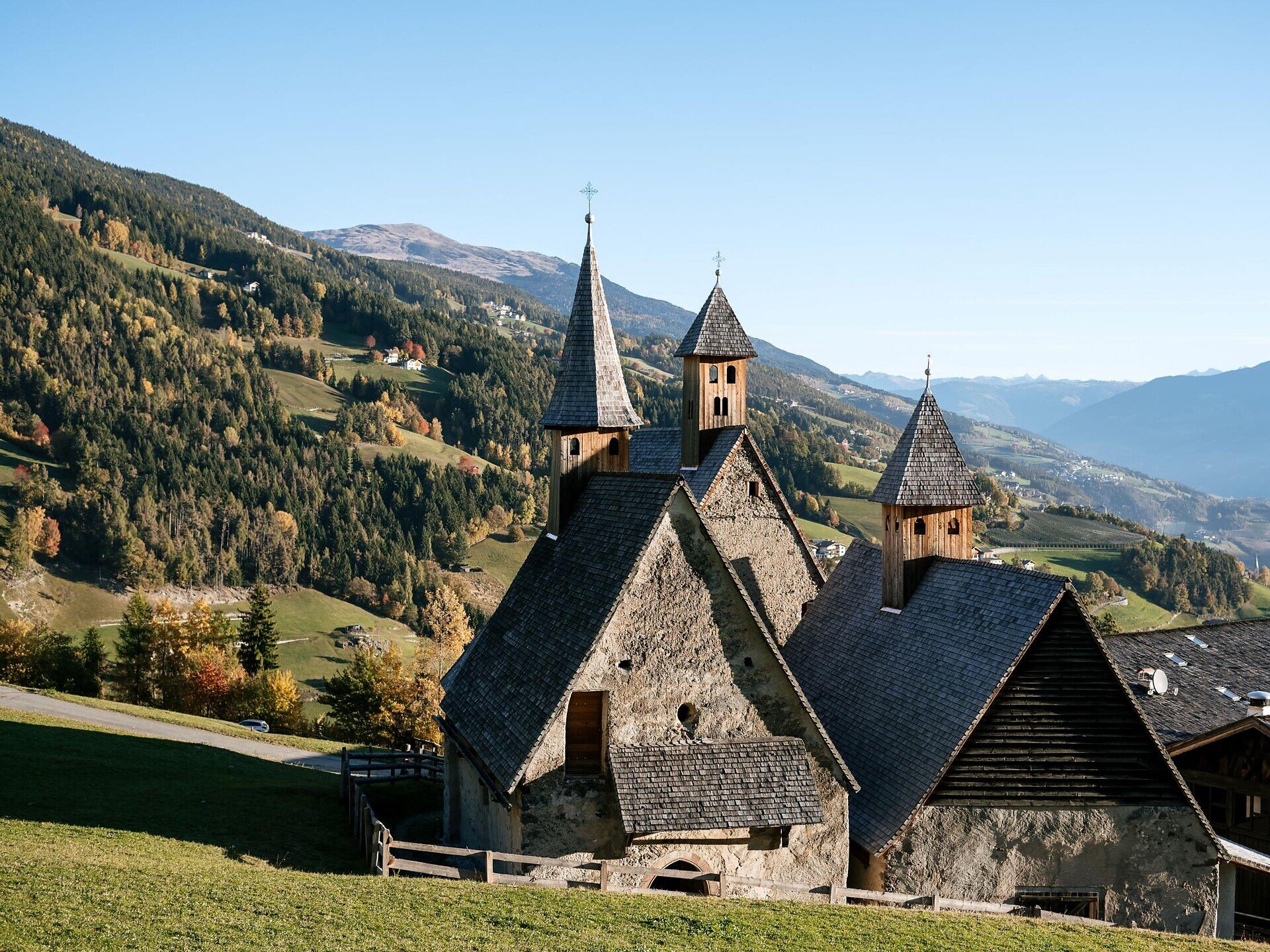
Both routes meet again in Briol and continue to the historic Three Churches ensemble. From there, the return trail leads via Feistegg back to the starting point above Tröglerhof.
The hike follows woodland and meadow trails, with some steeper sections. A good level of fitness, sure-footedness and sturdy hiking footwear are required. Refreshment stops are available in Briol and at Three Churches. Check the current opening hours before setting out.
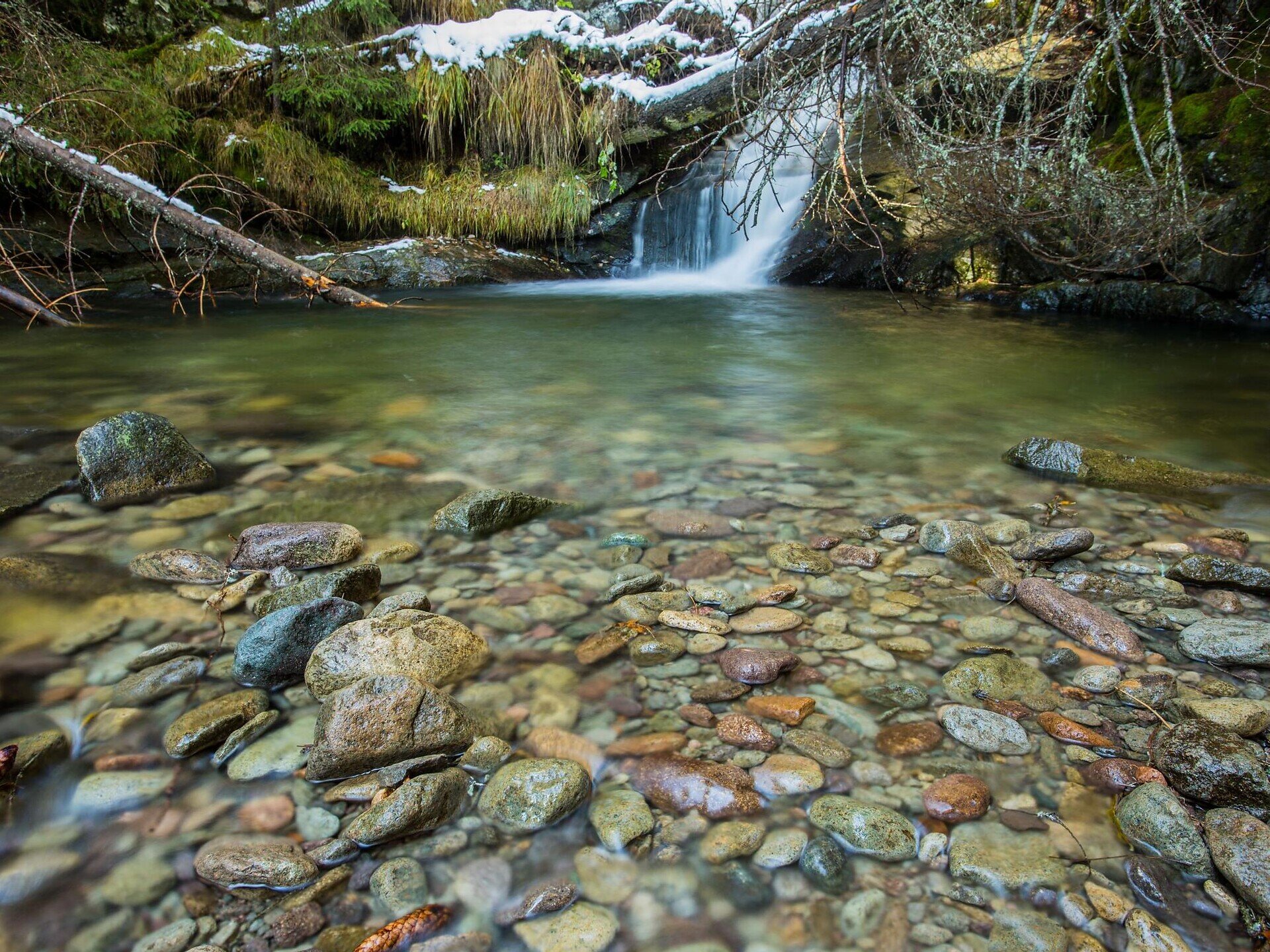
The circular hike begins at the car park above Tröglerhof. From there, follow trail no. 3 uphill to the Nixenteich pond. At this idyllic pond, you can choose between two routes to Briol.
Option A:
From the Nixenteich pond, follow trail no. 4A back for a short distance until you reach trail no. 27. Continue along trail no. 27 via Stangen to Briol. From there, trail no. 4 leads to Three Churches.
Option B:
From the Nixenteich pond, follow trail no. 4A to the area below the Huber Kreuz car park. Turn right onto trail no. 4 and descend to Briol. Continue along trail no. 4 down to Three Churches.
The two routes meet in Briol at the latest. Refreshment stops in Briol and at Three Churches provide pleasant opportunities for a break.
For the return journey, follow the woodland path marked no. 6 from Three Churches to Feistegg. There, change to trail no. 3 and climb back to the car park above Tröglerhof.
Trail conditions:
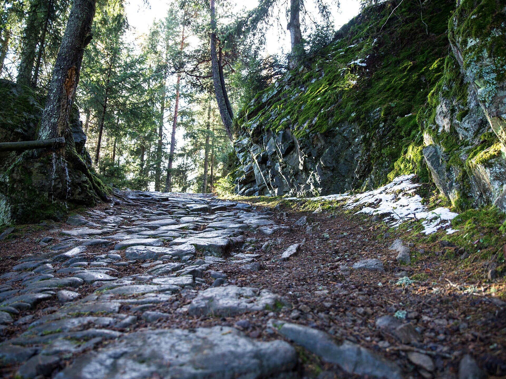
The circular hike follows woodland and meadow trails, forest roads and some narrower and steeper hiking paths. The ascents and descents may become slippery when wet. Sturdy hiking footwear, sure-footedness and a good basic level of fitness are recommended.
Starting and finishing point: car park above Tröglerhof, approx. 1,050 m
Distance: approx. 8.1 km, depending on the chosen route
Walking time: approx. 2 hours, excluding breaks
Ascent: approx. 637 m
Descent: approx. 635 m
Highest point: approx. 1,612 m
Difficulty: moderate
Trail numbers: 3, 4A, 27 and 4 for option A; 3, 4A, 4 and 6 for option B
Refreshment stops: Gasthof Briol, Gasthof Bad Dreikirchen and Messnerhof
Suitable for pushchairs: no


