Skip to main content Skip to footer Sitemap

Raiermoos Adventure Trail

Natz-Schabs
Add to favourites
Difficulty
Easy
Duration
0:35
in hours
Distance
2.2
in km
Status
open
Categories
  • Barrier-free
  • Suitable for prams
  • Family hikings
Suggested period
Jan
Feb
Mar
Apr
May
Jun
Jul
Aug
Sep
Oct
Nov
Dec

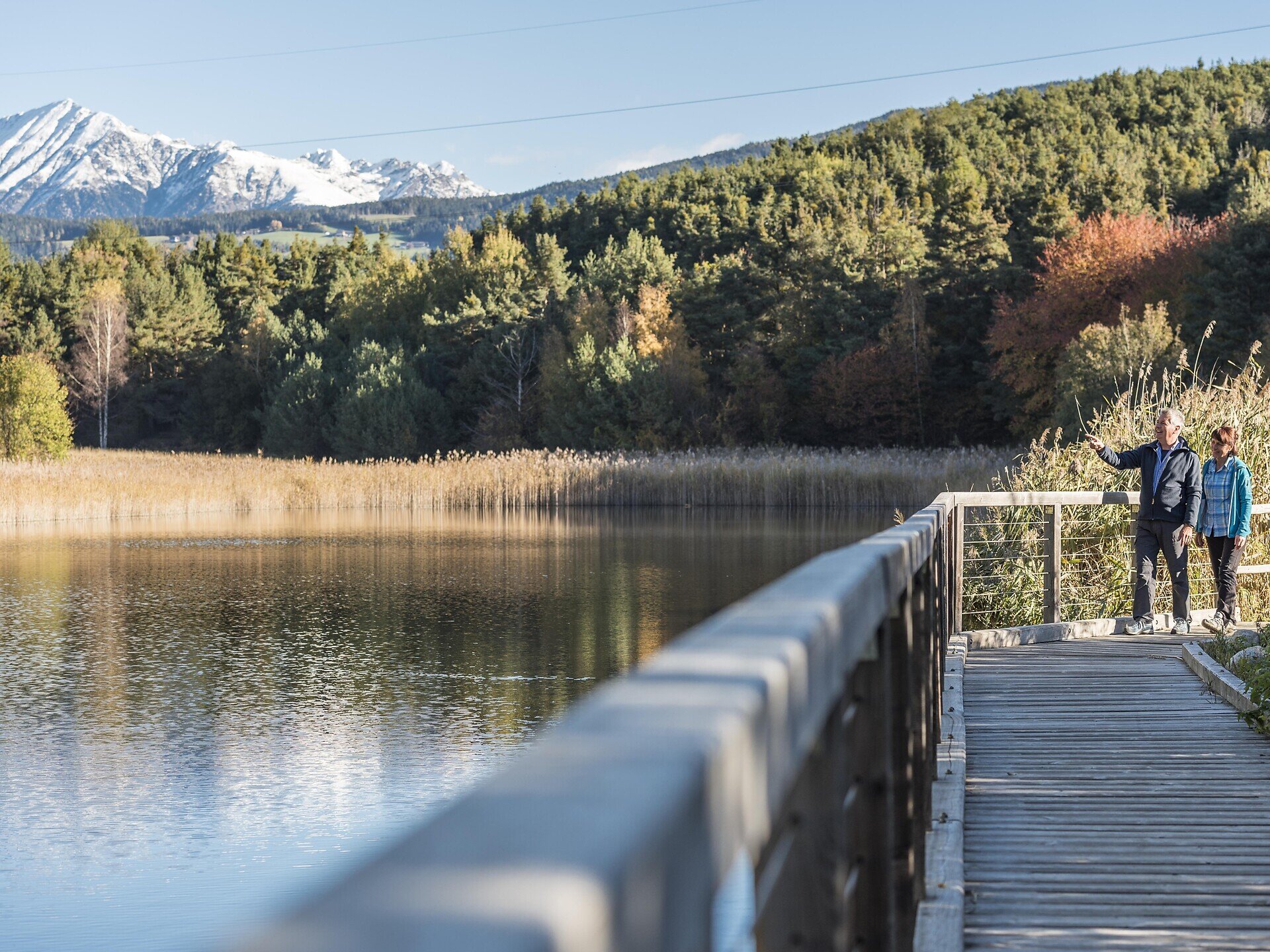
The Raiermoos biotope is a natural haven in Raas/Rasa, on the Natz-Schabs/Naz-Sciaves plateau. This scenic nature trail with a series of helpful info boards leads through the unspoilt landscape.
Gallery
Further information and useful links

Start at the church in the village of Raas (820 m) and take trail no. 4 east to the Moserhof farm (small parking area). Follow the trail south across the fields to the Raiermoos biotope (837 m). Raiermoos was formed on the frozen clay moraines about 12,000 years ago and was once a lake. Today, this protected natural reserve is a natural habitat for indigenous flora and fauna. All along the circuit trail one is confronted with a rich biodiversity: hedgerows, shrubs, woods, rock walls, blossoming fields and meadows. The sounds of croaking frogs and buzzing dragonflies animate the natural lagoon, fed by a spring flowing down from the glacier. In prehistoric times, early humans settled on the Waldelebichl hill and built rock dwellings. With a little luck one might catch a glimpse of one of the rare bird species from an elevated observation post. The trail circles the lake and runs across wooden footbridges on its south side. Passing clumps of reeds, the trail ends at the sports field on the west side of the lake and then leads back to the starting point.

Categories
  • Barrier-free
  • Suitable for prams
  • Family hikings
Route data
Easy
Distance
2,2 km
Duration
35 min
Ascent
28 m
Decent
28 m
Technical skills
Physical condition
Scenary
Highest point
835 m
Lowest point
816 m
Suggestions

Travelling with children? An classification book is recommended as well as binoculars and a cup magnifier (for inspecting small objects). 

You might be interested in
Discover related tours
Brixen
Circular Hiking Tour on Mount Plose near Bressanone/Brixen
Distance 10,0 km
Duration 3 h 00 min
Status
open
Gitschberg Jochtal
Gitschberg Sun Park
Distance 0,6 km
Duration 19 min
Ascent 98 m
Decent 0 m
Status
open
Königanger peak | © Helmuth Rier
Intermediate
Add to favourites
Klausen
From the Garner weather cross to the Königsanger peak
Distance 11,4 km
Duration 4 h 08 min
Ascent 1.032 m
Decent 1.032 m
Status
open
Brixen
WoodyWalk on Mount Plose
Distance 5,5 km
Duration 1 h 36 min
Ascent 184 m
Decent 184 m
Status
open
Klausen
Family trail on the alps of Villanders
Distance 1,2 km
Duration 18 min
Ascent 166 m
Decent 0 m
Status
open
Klausen
The Latschenkieferweg trail on the Villanderer Alm (Latschenweg trail)
Distance 7,3 km
Duration 2 h 10 min
Ascent 281 m
Decent 281 m
Status
open
Where?
When?
Who?
Rooms
1