
The Rittner Horn Premium Trail is a scenic circular hike through the open alpine landscape above Barbian. From the Huber Kreuz car park, the route climbs to the Rittner Horn, which offers an impressive 360-degree view of South Tyrol’s mountain landscape.
The hike then descends to the Unteres Horn and follows the panoramic trail around the Schwarzseespitze. Several viewpoints and refreshment stops can be found along the route. Due to its length and elevation gain, this moderately difficult mountain hike requires good fitness, sure-footedness and sturdy hiking boots.

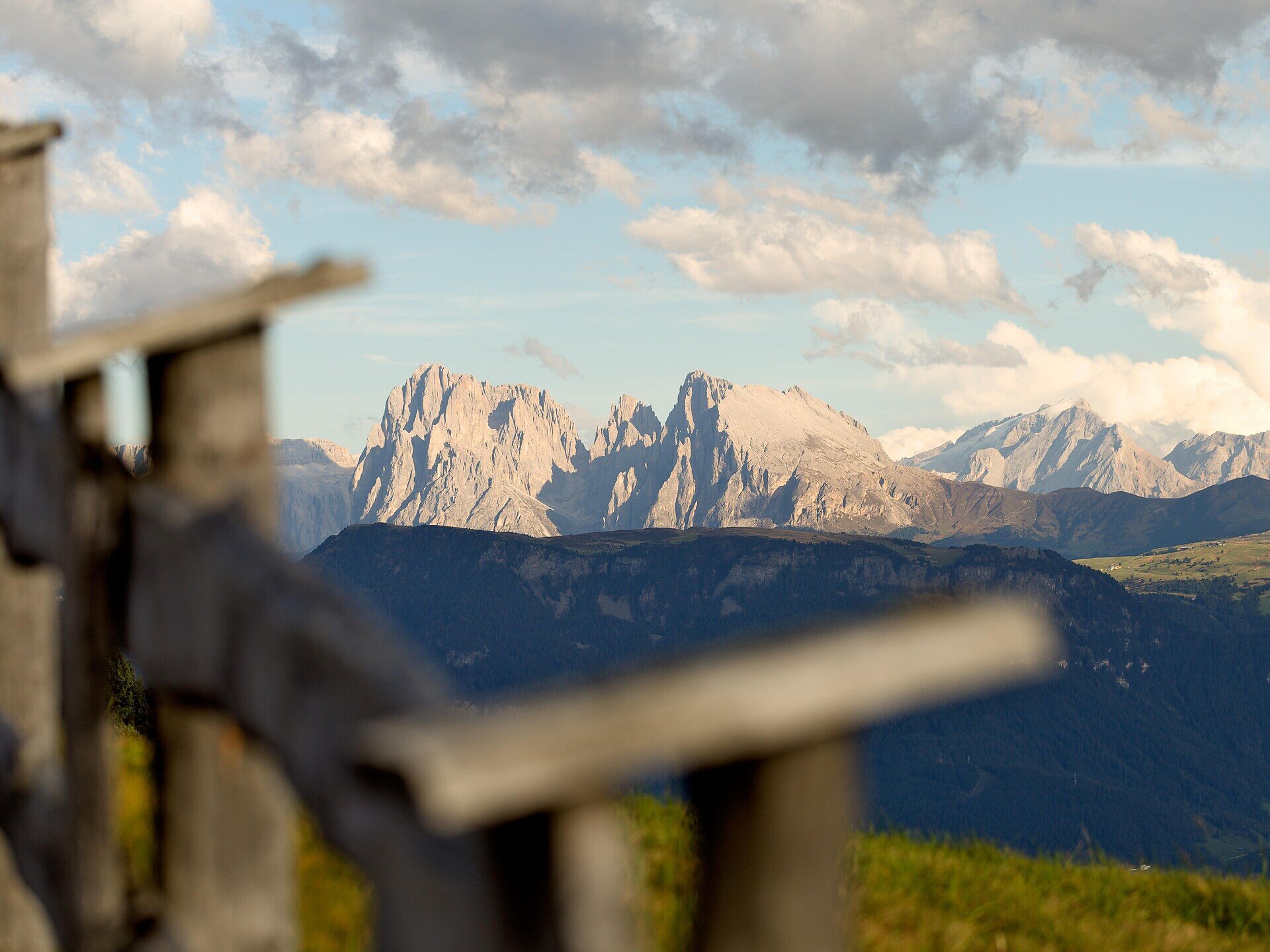
The circular hike begins at the Huber Kreuz car park. From there, follow trail no. 4 uphill through woodland and alpine pastures. The route passes several clearings and open meadows before reaching the Rittner Horn.
The highest point of the hike offers an impressive 360-degree panorama. On a clear day, the view extends across the Dolomites and numerous peaks in South Tyrol and the surrounding mountain ranges. Refreshments are available at the Rittner Horn mountain hut.
From the Rittner Horn, descend towards the Unteres Horn. The Unterhornhaus and Feltuner Hut are located here and provide good opportunities for a break.
Continue along the panoramic trail marked no. 19, which circles the Schwarzseespitze. Several viewpoints can be found along this section. Another refreshment stop is available near the Schwarzseespitze.
After completing the panoramic loop, you return to the Unteres Horn. From there, initially follow trail no. 15 and then change to trail no. 4, which leads back to the Huber Kreuz car park.
Trail conditions:
The route follows woodland and alpine tracks as well as some narrow, rocky and uneven mountain paths. The long climb to the Rittner Horn and the overall distance require good fitness. Sure-footedness and sturdy hiking boots are recommended. As much of the route lies above the tree line, carry sufficient water as well as sun and rain protection. Do not undertake the hike when thunderstorms are forecast.
Starting and finishing point: Huber Kreuz car park, approx. 1,610 m
Distance: approx. 13.7 km
Walking time: approx. 4 hours 50 minutes, excluding longer breaks
Ascent: approx. 751 m
Descent: approx. 751 m
Highest point: Rittner Horn, approx. 2,254 m
Difficulty: moderate
Trail numbers: 4, panoramic trail 19, 15 and 4
Refreshment stops: Rittner Horn mountain hut, Unterhornhaus, Feltuner Hut and Gasthaus Schwarzseespitze
Suitable for pushchairs: no


