Skip to main content Skip to footer Sitemap

Panoramic trail on the sunny slopes of the aferer mountain

Brixen
Add to favourites
Difficulty
Easy
Duration
2:16
in hours
Distance
7.8
in km
Status
open
Categories
  • Barrier-free
  • Suitable for prams
  • Family hikings
Suggested period
Jan
Feb
Mar
Apr
May
Jun
Jul
Aug
Sep
Oct
Nov
Dec

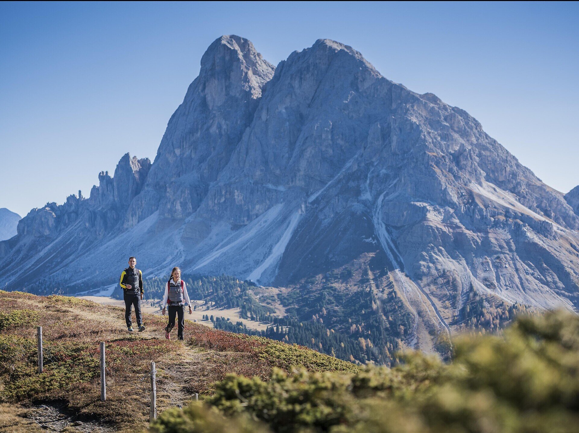
The Panoramaweg trail runs along the Höfeweg farms trail from St. Georg/S. Giorgio to the Antoniuskapelle chapel in Hinterafers/Eores di Dentro, across the sunny south-facing slopes of the Plose above the Afererer Tal Valley overlooking Brixen/Bressanone.
Gallery
Further information and useful links

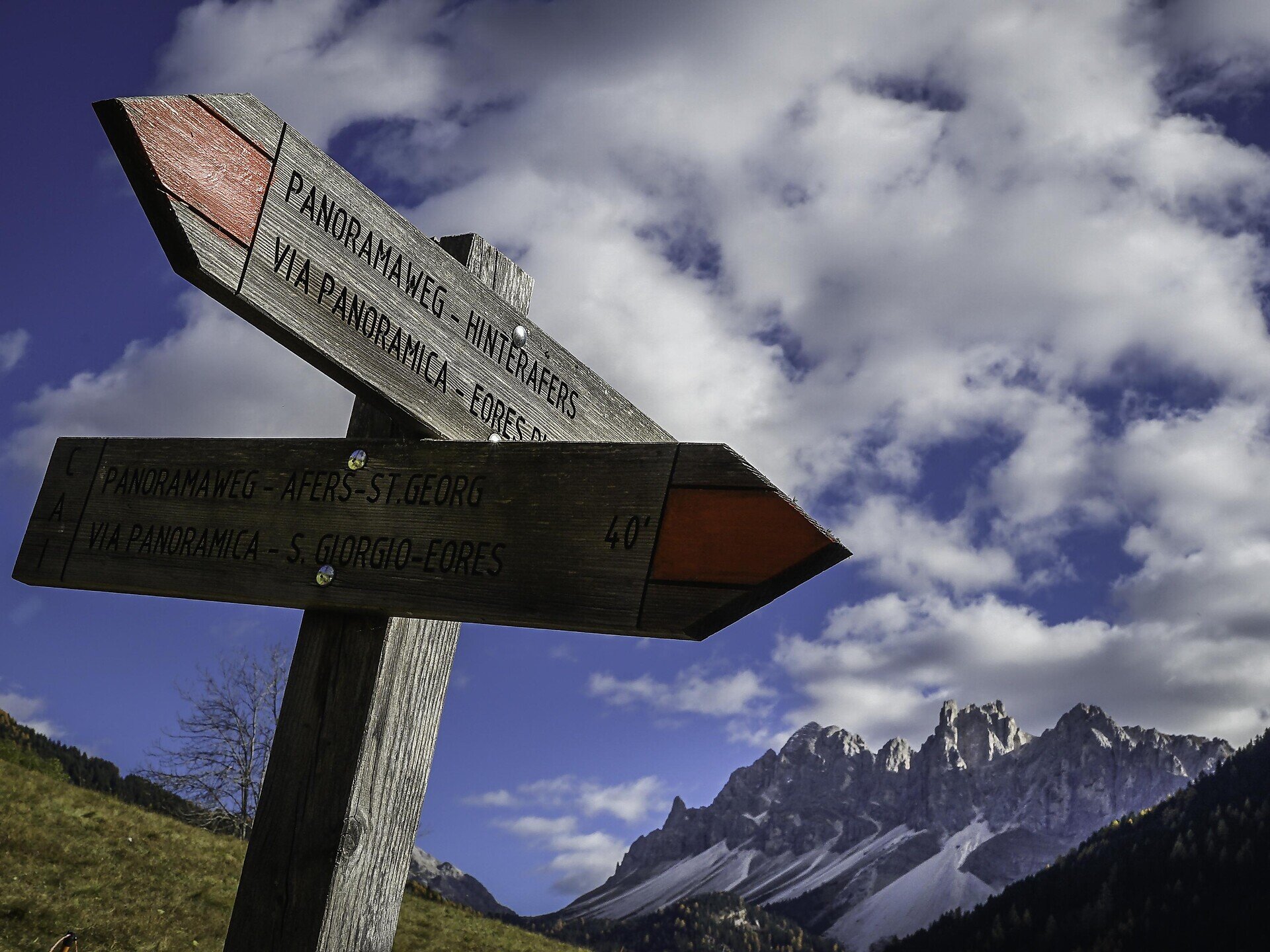
The village square in Afers/Eores at the foot of the Plose is the starting point of this scenic family hike. Follow the trail east on the mostly flat Höfestraße farm road near the Church of St. Georg (1,503 m) and descend slightly downhill along an access road signposted with Panoramaweg. The Höfestraße crosses a couple of streams on the Afers sunny slope, connecting the mountain farms in the valley. At the Egarter Hof farm, the trail then continues to the Niederegger Hof and Rindler Hof farms (1,419 m) after crossing the Tilser Bachgraben ditch. Cross the Rawolbgraben ditch past the two other farms: the Feichter Hof and Holzer Hof (1,563 m) before arriving at the Antoniuskapelle in Hinterafers (1,580m). 

Return back to the point of departure via the same route. 

Categories
  • Barrier-free
  • Suitable for prams
  • Family hikings
Route data
Easy
Distance
7,8 km
Duration
2 h 16 min
Ascent
264 m
Decent
264 m
Technical skills
Physical condition
Scenary
Highest point
1.592 m
Lowest point
1.473 m
Suggestions

Shortly after the Antoniuskapelle you can descend to the shady stream along trail no. 10 and then hike back to Afers on trail no. 5. 

You might be interested in
Discover related tours
Klausen / Chiusa | © TG Klausen_ Rene Gruber
Intermediate
Add to favourites
Klausen
Hiking Circuit form Klausen to Gufidaun Via Albions and back
Distance 11,8 km
Duration 3 h 42 min
Ascent 603 m
Decent 603 m
Status
open
Ochsenalm hut | © Brixen Tourismus Gen.
Intermediate
Add to favourites
Brixen
Ackerboden – Ochsenalm Farm – Kreuztal Hiking Tour
Distance 10,2 km
Duration 3 h 33 min
Ascent 798 m
Decent 202 m
Status
open
Gitschberg | © Alex Filz
Intermediate
Add to favourites
Gitschberg Jochtal
From Vals to the Fane alm meadows and up to the Brixner hütte mountain hut
Distance 7,0 km
Duration 3 h 08 min
Ascent 906 m
Decent 10 m
Status
open
Bunker | © TG Gitschberg Jochtal
Intermediate
Add to favourites
Gitschberg Jochtal
From Mühlbach to the Bunker in Spinges: A Family Hike with Scenic Views
Distance 3,4 km
Duration 2 h 00 min
Ascent 596 m
Decent 16 m
Status
open
Brixen
Vineyards Route near Bressanone/Brixen
Distance 9,8 km
Duration 3 h 30 min
Status
open
Klausen
From Kaseregg near Latzfons to the Stöfflhütte mountain hut
Distance 7,2 km
Duration 2 h 03 min
Ascent 219 m
Decent 219 m
Status
open
Where?
When?
Who?
Rooms
1