Skip to main content Skip to footer Sitemap

On the Latzfons Alm to the Stöfflhütte hut

Klausen
Add to favourites
Difficulty
Easy
Duration
2:00
in hours
Distance
6.9
in km
Status
open
Categories
  • Family hikings
  • Hiking
Suggested period
Jan
Feb
Mar
Apr
May
Jun
Jul
Aug
Sep
Oct
Nov
Dec
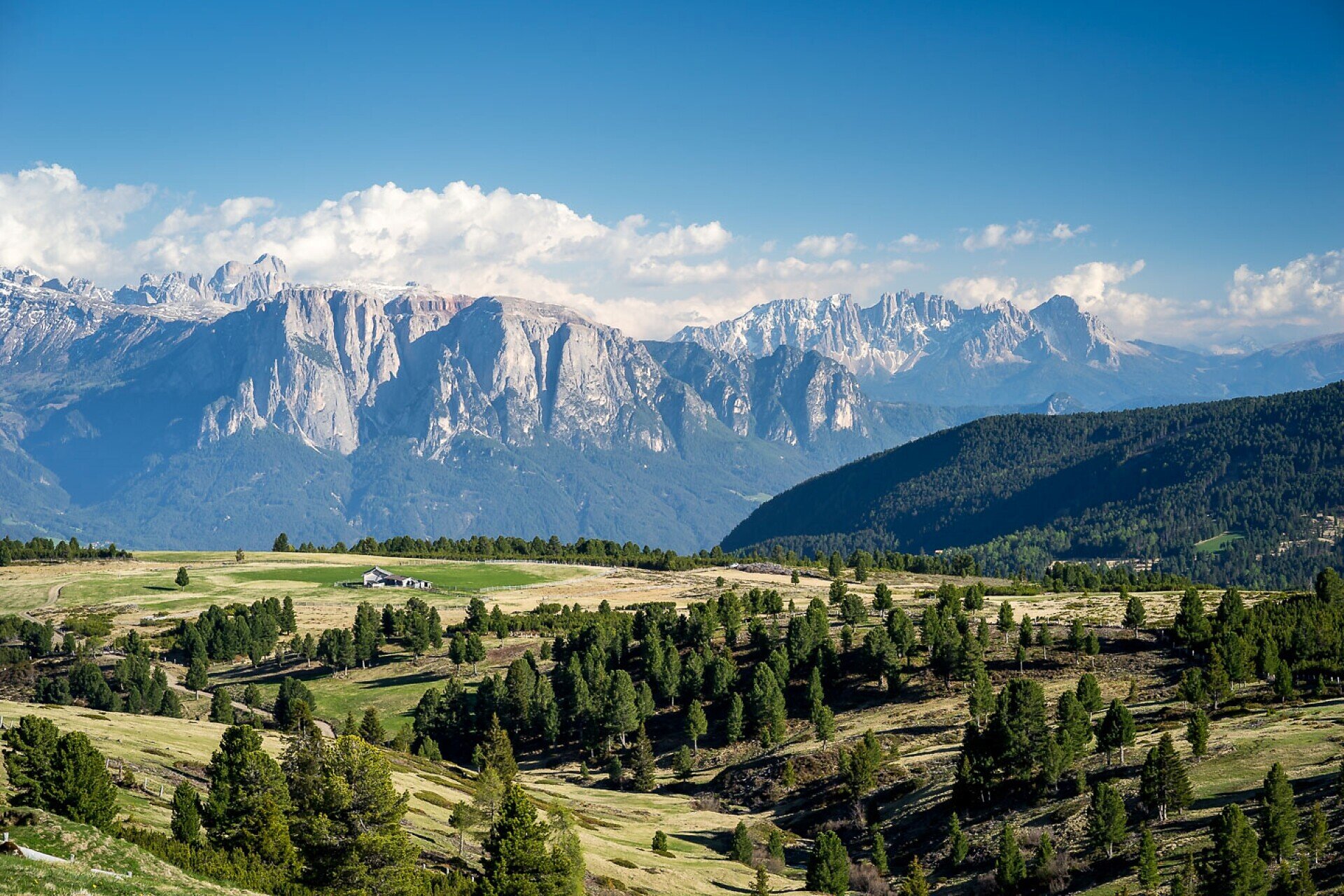
Short and very easy hike to the Lazfons alpine pastures, which border the Villandro alpine pastures in the area around the Stöfflhütte. The route is particularly suitable for seniors and families with children.
Gallery
Further information and useful links

From the Kaseregg car park, the route follows the marked alpine farm track, initially level and then slightly uphill, to the edge of the forest. Passing several alpine huts, the trail continues across the Jocher Wiesen meadows to the Gfalleralm, also known as Gfoleralm. Following the well-marked trail southwards, the path descends gently and reaches the well-known and popular Stöfflhütte at 2,057 m after just a few minutes. The walking time from the car park is approximately 1 hour. The Stöfflhütte is a spacious alpine inn with a mountain hut atmosphere, situated in a beautiful panoramic location. Along the route and from the hut, visitors can enjoy wonderful views of the Dolomites and the extensive Villandro alpine pastures stretching southwards. The return follows the same route as the outward journey.

Categories
  • Family hikings
  • Hiking
Route data
Easy
Distance
6,9 km
Duration
2 h 00 min
Ascent
169 m
Decent
169 m
Technical skills
Physical condition
Scenary
Highest point
2.124 m
Lowest point
1.956 m
You might be interested in
Discover related tours
Gitschberg Jochtal
Historic trail of Mühlbach: A walk through 750 years of history
Distance 1,3 km
Duration 30 min
Ascent 24 m
Decent 24 m
Status
open
Kollmann hiking trail | © Wolfgang Gafriller
Intermediate
Add to favourites
Klausen
Törggele Hike Kollmann - Saubach - Barbian
Distance 11,0 km
Duration 3 h 18 min
Ascent 458 m
Decent 458 m
Status
open
Monument | © Brixen Tourismus Gen.
Intermediate
Add to favourites
Gitschberg Jochtal
From Spinges to the Stoanamandl peak
Distance 12,5 km
Duration 4 h 10 min
Ascent 848 m
Decent 848 m
Status
open
Gitschberg Jochtal
The Altfasstal Valley: A Family hike
Distance 5,0 km
Duration 1 h 40 min
Ascent 253 m
Decent 16 m
Status
open
Ochsenalm hut | © Brixen Tourismus Gen.
Intermediate
Add to favourites
Brixen
Ackerboden – Ochsenalm Farm – Kreuztal Hiking Tour
Distance 10,2 km
Duration 3 h 33 min
Ascent 798 m
Decent 202 m
Status
open
Spiluck - Spelonca | © Gemeinde Vahrn
Intermediate
Add to favourites
Brixen
From Spiluck to the Scheibenberg Mountain - Zirmait to Spiluck
Distance 9,4 km
Duration 3 h 23 min
Ascent 838 m
Decent 838 m
Status
open
Where?
When?
Who?
Rooms
1