Skip to main content Skip to footer Sitemap

Napfspitze: Hiking Adventure with Glacier Views

Gitschberg Jochtal
Add to favourites
Difficulty
Difficult
Duration
5:00
in hours
Distance
9
in km
Status
open
Categories
  • Mountain tours
  • Alpine tours
Suggested period
Jan
Feb
Mar
Apr
May
Jun
Jul
Aug
Sep
Oct
Nov
Dec
 
Gallery
Further information and useful links

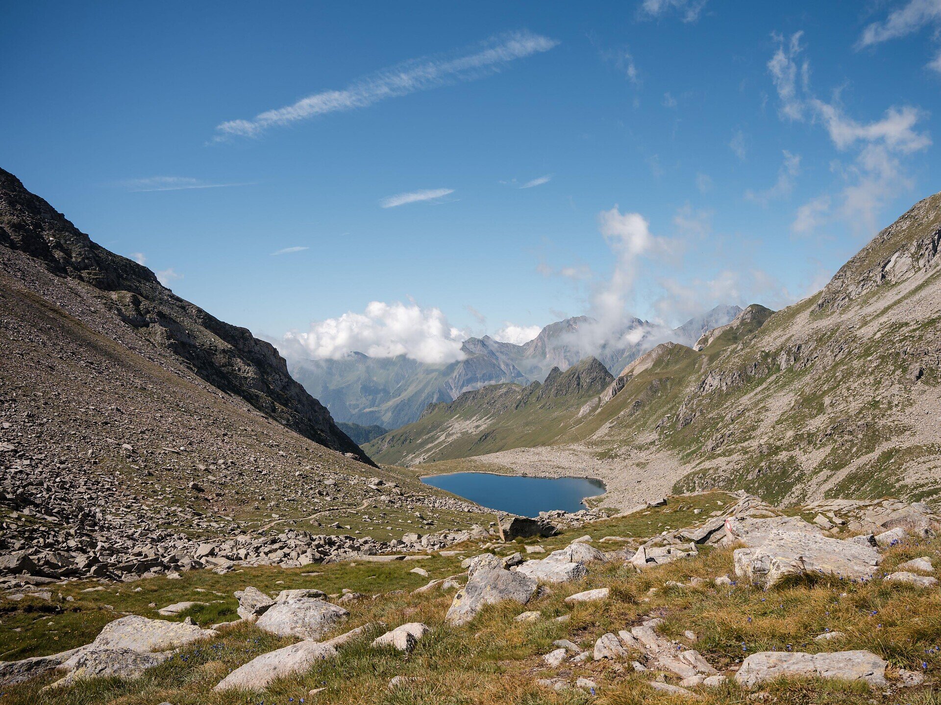
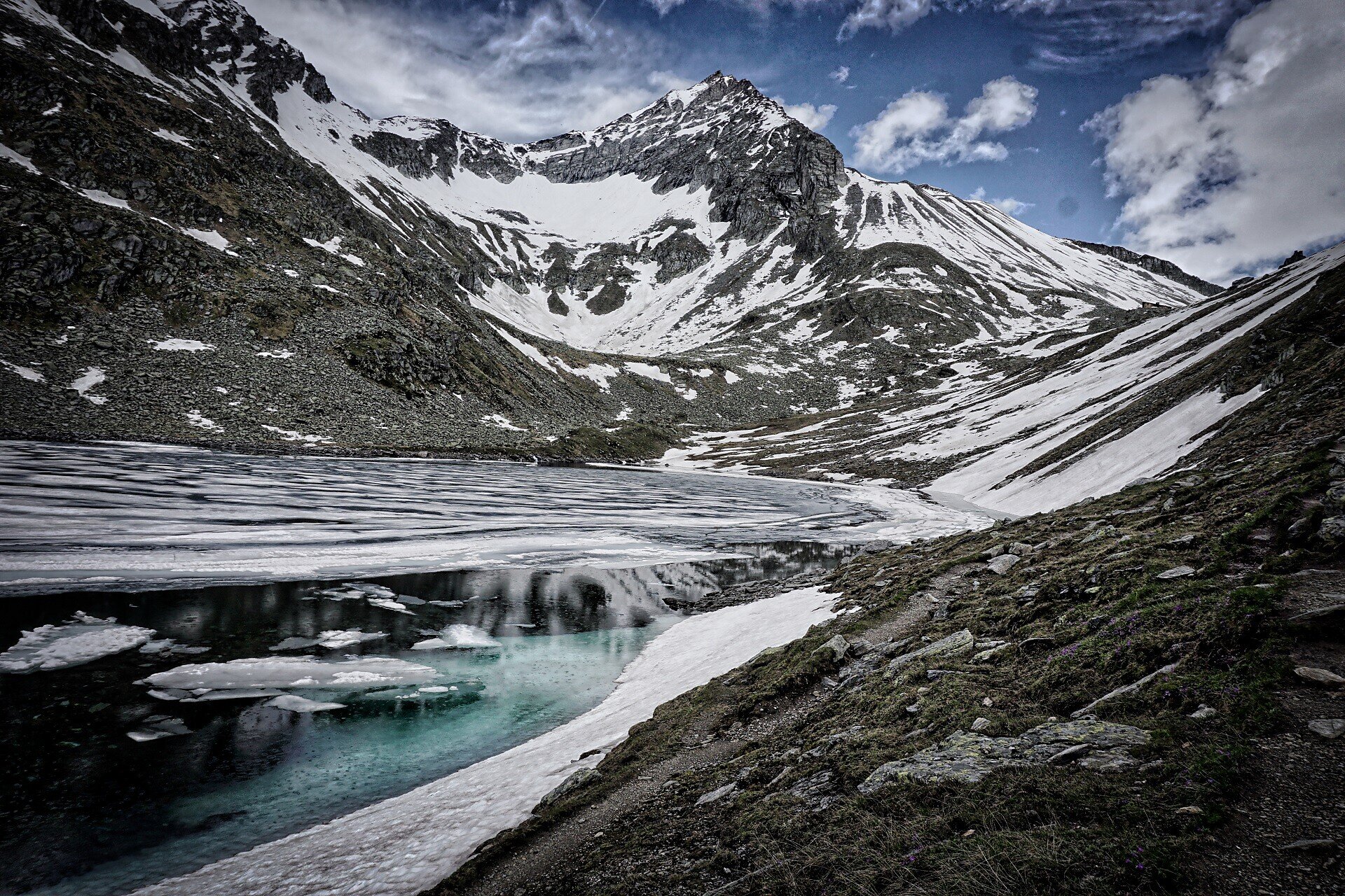
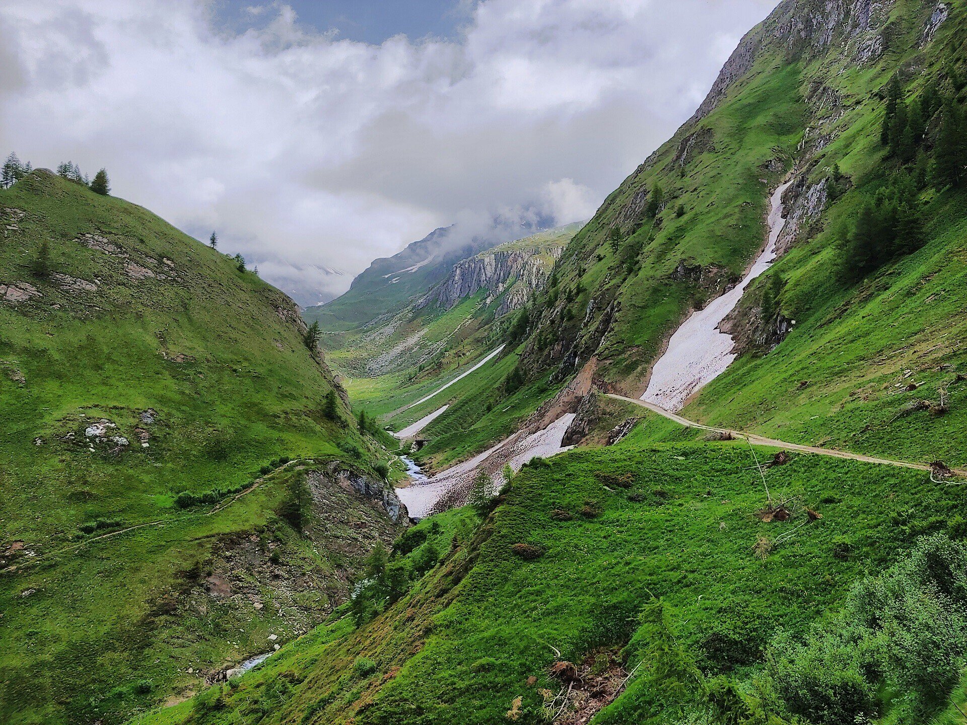
You start at the Dun parking lot in Pfunders at 1,445 metres and follow trail no. 13 towards the Bodenalm, continuing to Eisbruggsee. The clear mountain lake is ideal for a short break.

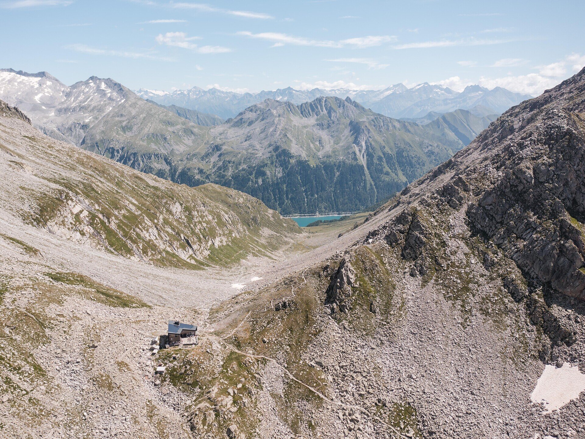
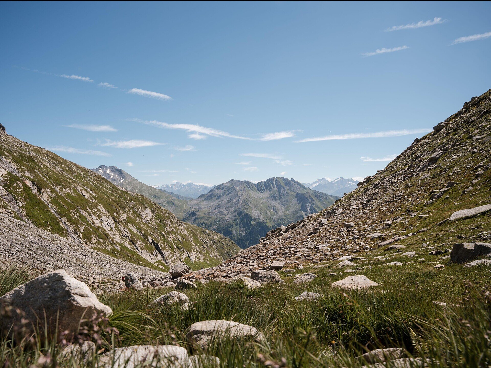
The route then leads to the Edelrauthütte at 2,545 metres and continues to Eisbruggjoch. From there, the ascent follows trail no. 6 to the Napfspitze at 2,704 metres. The trail is well marked and presents no major difficulties. From the summit, there are sweeping views of the surrounding glaciers and mountain peaks.

For the descent, either follow the same route via the Edelrauthütte, Eisbruggsee lake and Bodenalm or take the alternative route via the Gampielalm. The tour finishes back at the Dun parking lot.

Categories
  • Mountain tours
  • Alpine tours
Route data
Difficult
Distance
9,0 km
Duration
5 h 00 min
Ascent
1.491 m
Decent
29 m
Physical condition
Scenary
Highest point
2.887 m
Lowest point
1.428 m
Suggestions
You might be interested in
Discover related tours
Kassianspitze | © TV Klausen
Intermediate
Add to favourites
Klausen
San Kassian Peak
Distance 15,0 km
Duration 5 h 50 min
Ascent 1.020 m
Decent 1.020 m
Status
open
Astjoch | © Thomas Monsorno
Intermediate
Add to favourites
Gitschberg Jochtal
Astjoch
Distance 21,8 km
Duration 5 h 00 min
Ascent 729 m
Decent 729 m
Status
open
Gitschberg Jochtal
Eidechsspitze peak: A Summit Adventure with Panoramic Views
Distance 15,7 km
Duration 5 h 55 min
Ascent 1.588 m
Decent 1.588 m
Status
open
Gitschberg Jochtal
2 peaks tour - Gitsch and Fallmetzer
Distance 7,6 km
Duration 3 h 30 min
Ascent 791 m
Decent 791 m
Status
open
Gitschberg Jochtal
Hochgrubbachspitze: Peak Adventure Above the Winnebachtal
Distance 13,9 km
Duration 5 h 58 min
Ascent 1.407 m
Decent 1.407 m
Status
open
Hikers resting on mountain top | © KOTTERSTEGER
Intermediate
Add to favourites
Brixen
On the Dolomites High Route and Brixen High Route to Ochsenalm
Distance 10,0 km
Duration 5 h 00 min
Ascent 450 m
Decent 450 m
Status
open
Where?
When?
Who?
Rooms
1