It is a precious habitat, home to both people and wildlife – a place where we can breathe deeply and reconnect with ourselves. And it is exactly this space we want to protect. How, you might ask?
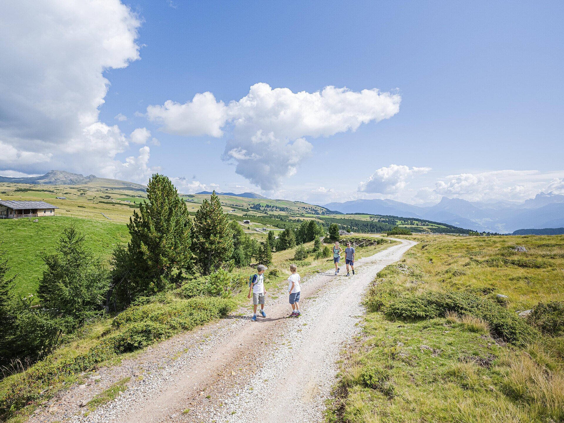
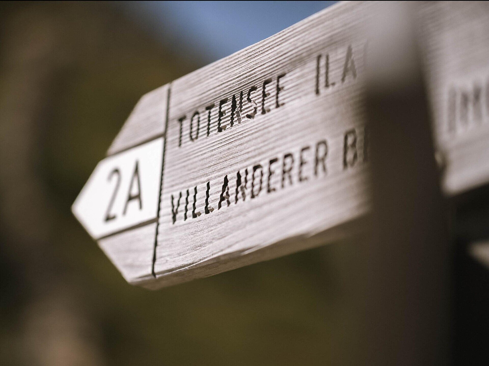
From Saltnerstein near the Gasser Hütte, we follow trails no. 6, 7A and 7 towards Rittner Horn to Gasteiger Sattel. From there, trail no. 3 leads us to Sarner Scharte. We then continue along trail no. 2 to Villanderer Berg. For the return, we follow trails no. 2 and 2A, passing Totensee lake and continuing to the Totenkirchl chapel. Finally, trail no. 6 takes us back to the starting point at Saltnerstein.
Categories
Other mountains
Snowshoe tours
Ski tours
Mountain tours
Route data
Intermediate
Distance
17,0 km
Duration
5 h
37 min
Ascent
839 m
Decent
938 m
Technical skills
Physical condition
Scenary
Highest point
2.509 m
Lowest point
1.764 m
public transportation
Bus line 345 from Chiusa/Villandro/Villandro Alp
How to get there
Leave the motorway at Klausen/Chiusa and take the first exit at the first roundabout. At the next roundabout, take the second exit and follow the road for about 2 km. Then turn right towards Villanders and continue to the village centre. At the Despar supermarket, turn right towards Villanderer Alm and follow the road to the Saltnerstein car park near the Gasser Hütte.