Skip to main content Skip to footer Sitemap

Mills trail and earth pyramids

Gitschberg Jochtal
Add to favourites
Difficulty
Easy
Duration
1:30
in hours
Distance
4.5
in km
Status
open
Categories
  • Theme paths
  • Family hikings
Suggested period
Jan
Feb
Mar
Apr
May
Jun
Jul
Aug
Sep
Oct
Nov
Dec
Gallery
Further information and useful links

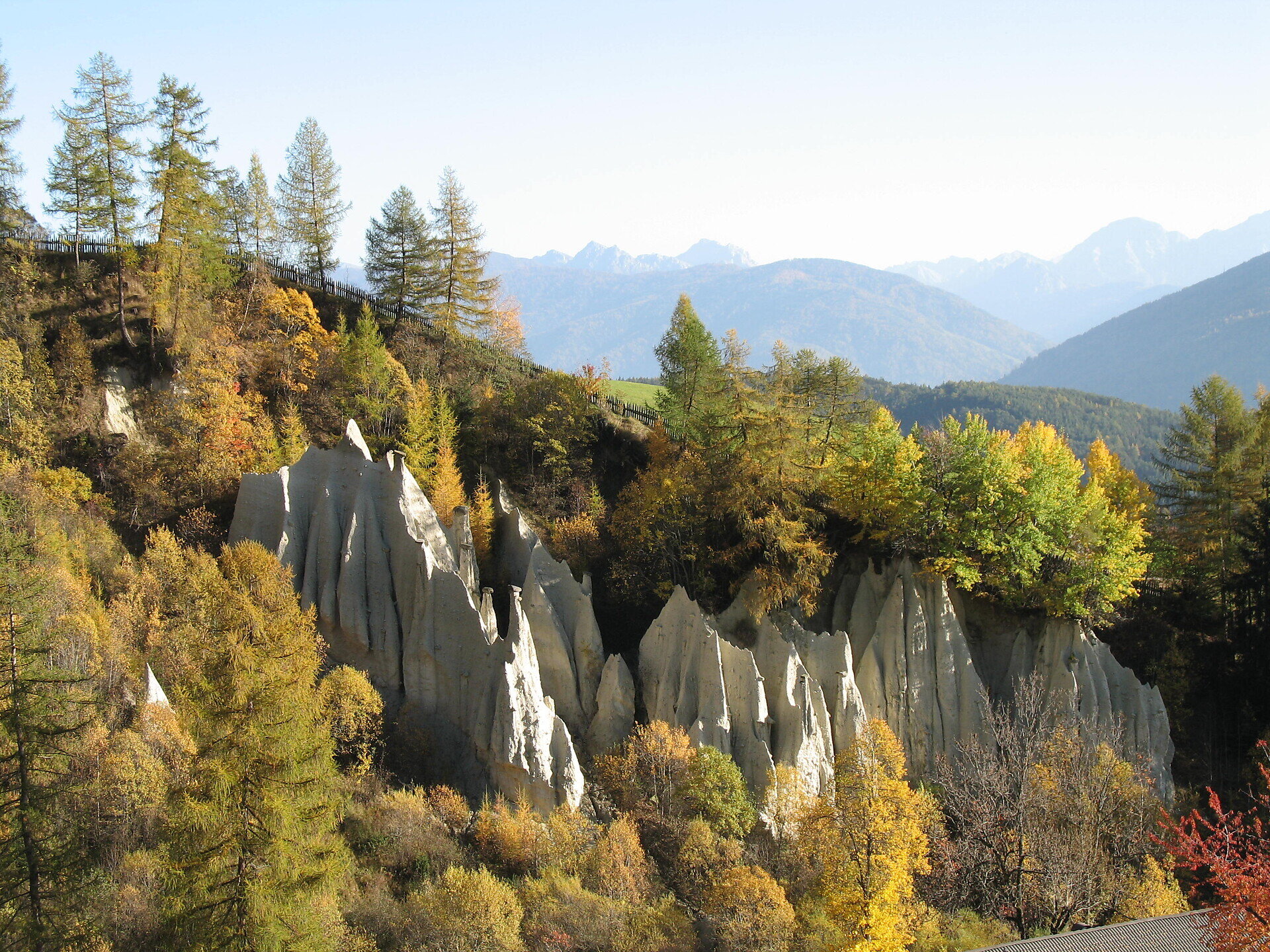
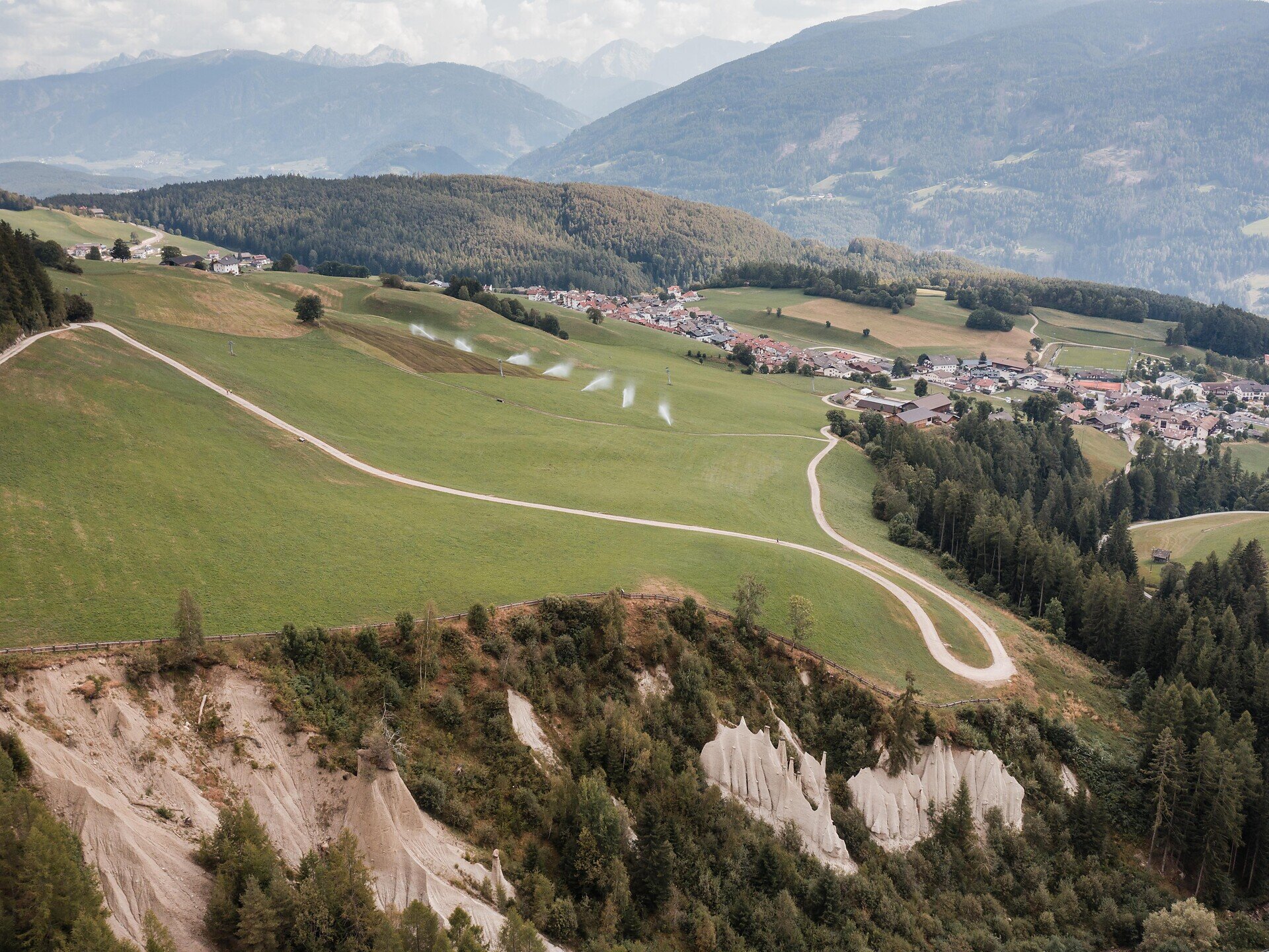
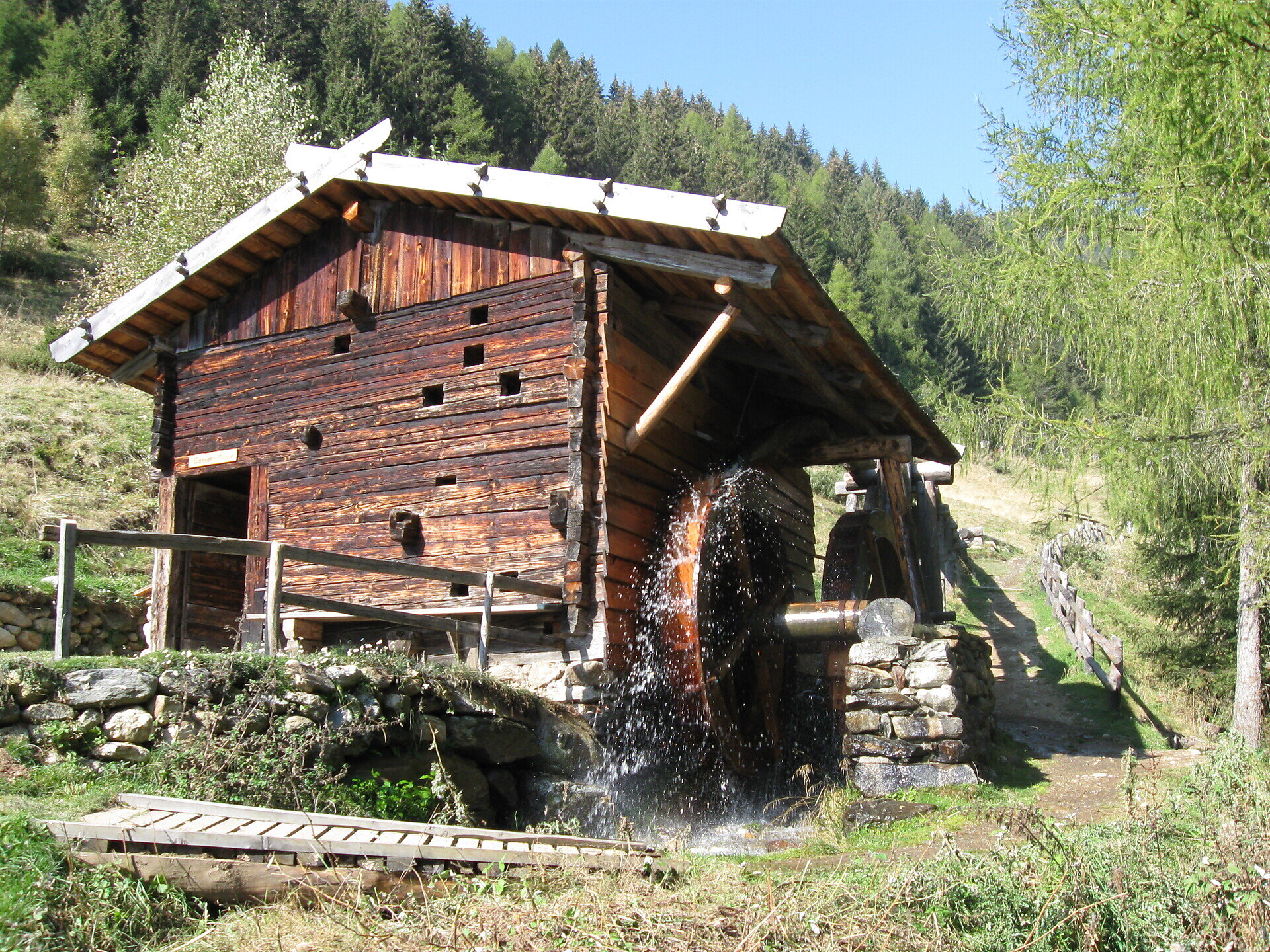
The starting point of the hike is the village centre of Terenten. From there, walk about 100 metres northwest to the Ternerbach stream, where the Mill Trail begins. Information boards along the route provide insights into the history of the mills. About halfway along the trail, you reach the earth pyramids, a remarkable natural monument.

The trail then leads to the five main mills. After passing the Hansleitner Mill, you cross a bridge to the opposite side of the Ternerbach. The route continues past an old farmhouse and the village ski lift. Finally, a meadow path leads you back to the village centre. The hike ends back in the village centre of Terenten.

Categories
  • Theme paths
  • Family hikings
Route data
Easy
Distance
4,5 km
Duration
1 h 30 min
Ascent
235 m
Decent
235 m
Technical skills
Physical condition
Scenary
Highest point
1.436 m
Lowest point
1.210 m
Suggestions

In the ski and holiday area Gitschberg Jochtal you can get an Adventure Book at your accommodation or at the tourist offices. This special booklet features ten selected hikes, each with a stamp station along the way, where you can collect an imprint in your Adventure Book.

With three stamps, you can claim a bronze medal at the tourist offices in Mühlbach, Rodeneck, Terenten, Vals, or Meransen. Six stamps earn you a silver medal, and with all ten, you’ll be awarded the prestigious gold medal!

You might be interested in
Discover related tours
Latzfons | © Tobias Kaser
Intermediate
Add to favourites
Klausen
Round trail three villages (Latzfons - Garn - Verdings)
Distance 7,7 km
Duration 2 h 18 min
Ascent 304 m
Decent 308 m
Status
open
Gufidaun | © Tobias Kaser
Intermediate
Add to favourites
Klausen
Törggele hike Klausen - Gufidaun
Distance 10,3 km
Duration 3 h 15 min
Ascent 539 m
Decent 541 m
Status
open
Brixen
Circular Hike to St. Andrä on mount Plose (in southerly direction)
Distance 6,0 km
Duration 1 h 49 min
Ascent 255 m
Decent 255 m
Status
open
Brixen
Panoramic trail on the sunny slopes of the aferer mountain
Distance 7,8 km
Duration 2 h 16 min
Ascent 264 m
Decent 264 m
Status
open
Wine | © Hannes Niederkofler
Intermediate
Add to favourites
Klausen
Wine Hiking Trail
Distance 5,5 km
Duration 1 h 50 min
Status
open
Gitschberg Jochtal
Path of Reflection St. Zeno/Terenten
Distance 1,2 km
Duration 20 min
Ascent 11 m
Decent 120 m
Status
closed
Where?
When?
Who?
Rooms
1