
The Oberdorf circular walk is a short, family-friendly hike through the village and the rural landscape above Barbian. Starting from the village square, the route leads through the upper part of the village and follows a section of the Waterfall Trail to the sawmill and Wieserhof.
The return route follows meadow and woodland paths back to the village centre. Along the way, there are attractive views of Barbian and the surrounding landscape. This easy circular walk follows paved paths, narrow roads and some unpaved trails, making it ideal for a leisurely outing.
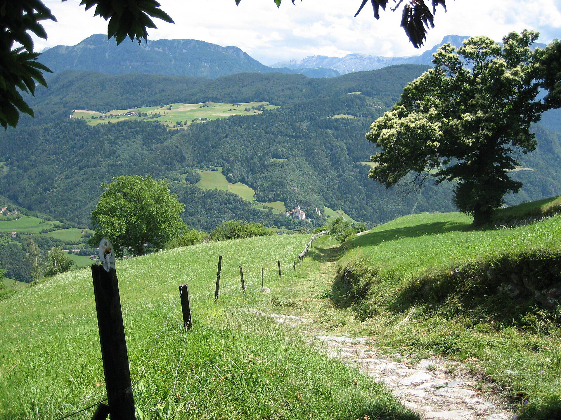
The circular walk begins in the village square of Barbian. From there, walk to the right past the parish church and follow the village road to the Raiffeisen bank. Turn left and walk uphill through the upper part of the village until you reach the signposted Waterfall Trail.
Follow the Waterfall Trail past Lukas to the next junction. Change to trail no. 6A and continue to the sawmill.
At the sawmill, keep right and follow the narrow paved road uphill to Wieserhof. Turn right onto trail no. 3 and continue downhill.
Follow trail no. 3 to the signs for Barbian. Turn right onto trail no. 11, which leads back to the village centre and the starting point.
Trail conditions:
The route follows paved village roads, a narrow secondary road and woodland, meadow and hiking trails. The walk is generally easy but includes a few short ascents and descents. Sturdy footwear is recommended. Take particular care of traffic on the road sections, especially when walking with children. Unpaved trails may become slippery when wet.
Starting and finishing point: village square of Barbian, approx. 832 m
Distance: approx. 2.7 km
Walking time: approx. 1 hour
Ascent: approx. 154 m
Descent: approx. 154 m
Highest point: approx. 986 m
Difficulty: easy
Trail numbers: Waterfall Trail, 6A, 3 and 11
Refreshment stops: various restaurants in the village centre of Barbian
Suitable for pushchairs: no


