Skip to main content Skip to footer Sitemap

Leitacher Weinwanderweg wine route in Klausen

Klausen
Add to favourites
Difficulty
Easy
Duration
1:27
in hours
Distance
4.5
in km
Status
open
Categories
  • Theme paths
  • Family hikings
Suggested period
Jan
Feb
Mar
Apr
May
Jun
Jul
Aug
Sep
Oct
Nov
Dec

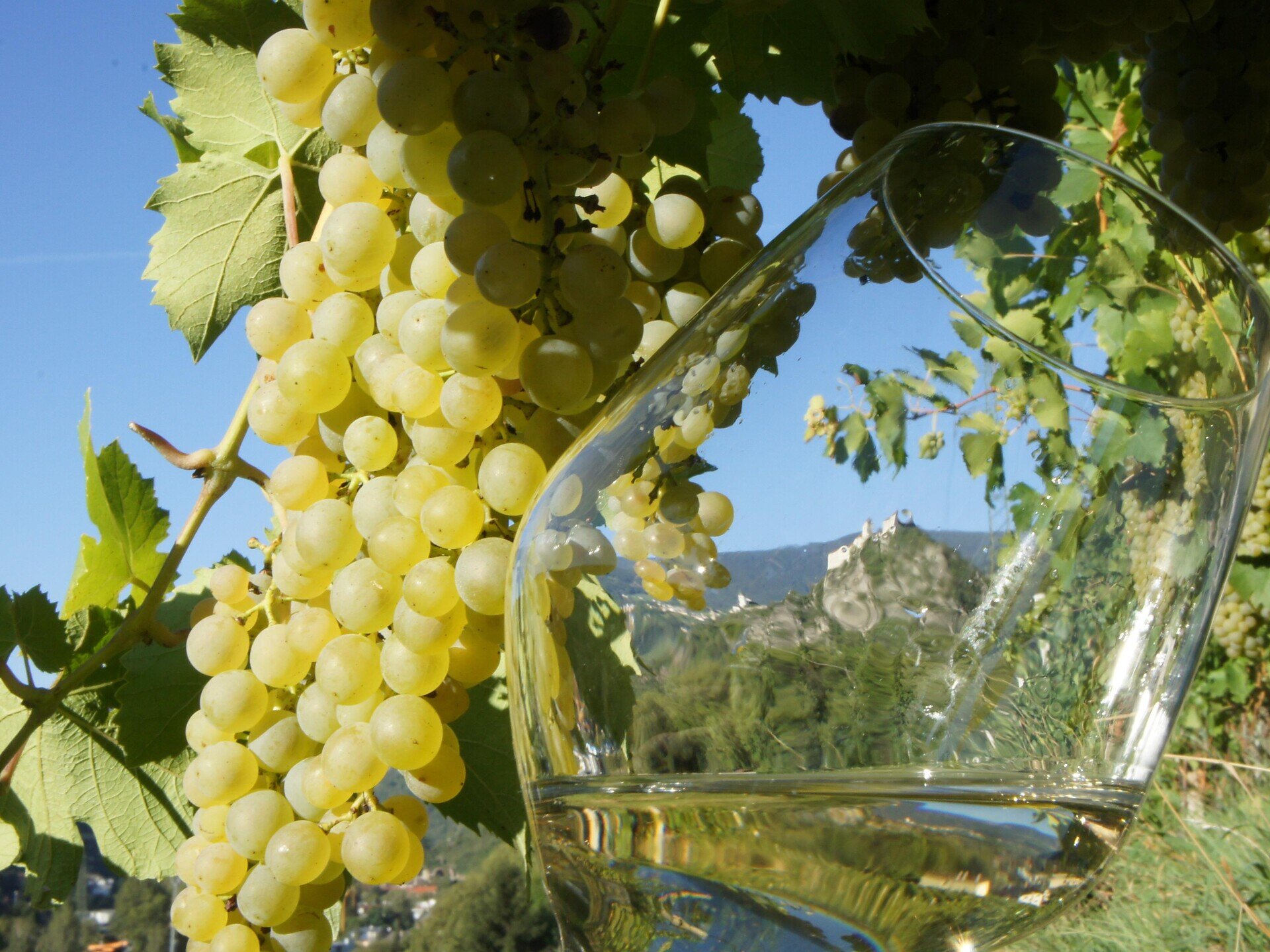
This easy hike leads through the sunny vineyards on the steep slopes of Leitach, north of Klausen/Chiusa. Along the way, a series of info boards illustrate the history of winemaking in South Tyrol, describing the different grape varietals and wines of Klausen.
Gallery
Further information and useful links

From the market square at the northern entrance to Klausen follow the Eisack river cycle path along the valley up to the public swimming pool at the edge of the town. Cross the main road and head east. Pass Sylvanerhof farm and continue to the Spitalerhof farm. Then take the dirt road to Feldthurns/Velturno and follow trail no. 15 northeast (with info boards) past the neatly arranged vineyards. After a slight ascent the trail comes to a farmstead. From there follow the road for about 50 m towards Feldthurns. At the signpost, (taking care when crossing the road) turn left and continue along the trail until it turns left southwest. Through the woods of the Lottergraben, the track enters the fourth bend (730 m) at the access road to Leitach, where there’s a clear view of Säbener Berg mountain, known as the Tyrolean Acropolis. From here, trail no. 3 runs along the steile Leiten down into the valley back to the starting point.

Categories
  • Theme paths
  • Family hikings
Route data
Easy
Distance
4,5 km
Duration
1 h 27 min
Ascent
268 m
Decent
268 m
Technical skills
Physical condition
Scenary
Highest point
764 m
Lowest point
521 m
Suggestions

In May/June and September/October there are organized guided tours along the Wine Route. For further details see: www.klausen.it

You might be interested in
Discover related tours
Gitschberg Jochtal
Ywein trail
Distance 1,5 km
Duration 40 min
Ascent 100 m
Decent 52 m
Status
open
Rittner Horn | © Wolfgang Gafriller
Intermediate
Add to favourites
Klausen
From the village of Barbian to the Rittner Horn
Distance 10,7 km
Duration 3 h 30 min
Ascent 666 m
Decent 666 m
Status
open
S. Anna | © Helmut Moling
Intermediate
Add to favourites
Klausen
From Villanders to the St. Anna Chape
Distance 7,5 km
Duration 2 h 25 min
Ascent 449 m
Decent 449 m
Status
open
Teis - Tiso | © Tourismusverband Eisacktal
Intermediate
Add to favourites
Brixen
From Albeins to Teis
Distance 8,8 km
Duration 2 h 47 min
Ascent 465 m
Decent 465 m
Status
open
Gitschberg Jochtal
Mills trail and earth pyramids
Distance 4,5 km
Duration 1 h 30 min
Ascent 235 m
Decent 235 m
Status
open
Church of Schrambach | © Helmut Molling
Intermediate
Add to favourites
Klausen
From Feldthurns to to the waterfalls of Schrambach
Distance 5,0 km
Duration 1 h 39 min
Ascent 323 m
Decent 323 m
Status
open
Where?
When?
Who?
Rooms
1