
This varied hike leads from Saubach along the steep and scenic Saubacher Koflweg trail to the Katzenleiter and then continues to Kasserol. Along the way, there are attractive views across the Eisack Valley and the surrounding mountains.
From Kasserol, the route descends to the village centre of Barbian. The return to Saubach follows a comfortable pedestrian path. Some sections are steep, narrow and rocky, requiring good fitness, sure-footedness and sturdy hiking footwear. The old stone-paved paths and rocks may become very slippery when wet.
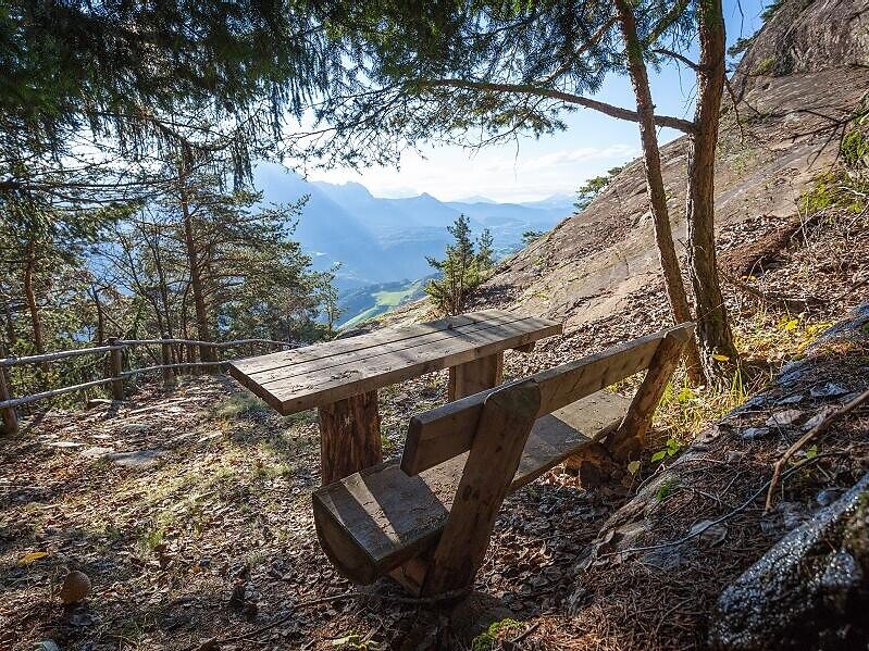
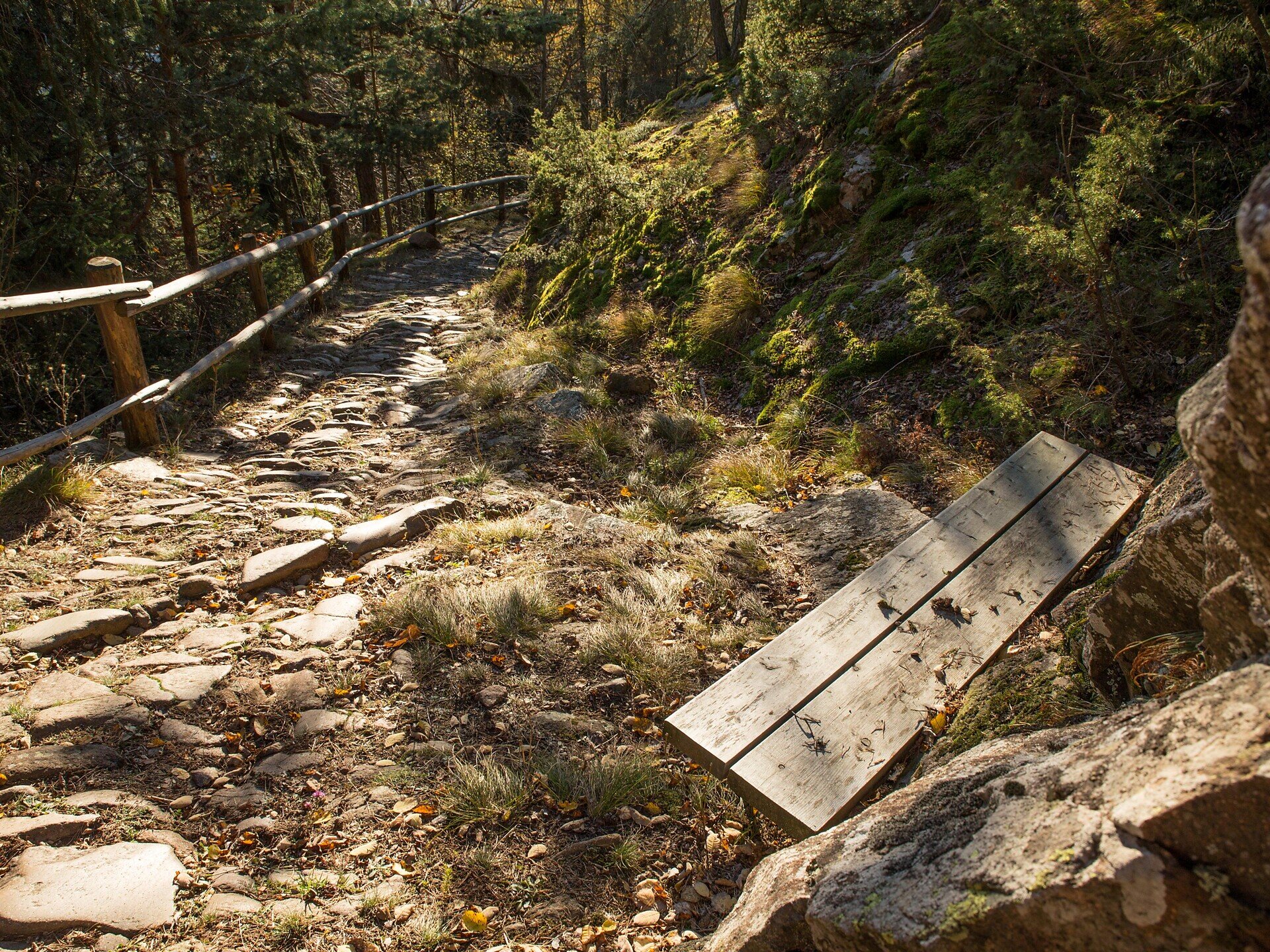
The hike begins in the village of Saubach. From there, follow trail no. 28 uphill along the Saubacher Koflweg. This partly steep trail follows old stone-paved paths and passes through woodland.
At the junction, turn right onto trail no. 34. Continue uphill towards the Katzenleiter. This steep and, in places, more demanding section leads to Kasserol.
From Kasserol, follow trail no. 3 downhill towards Barbian. The route passes through woodland and meadows before reaching the village centre.
For the return journey, follow the pedestrian path alongside the road from the village centre of Barbian towards Saubach. Continue along this path back to the starting point.
Trail conditions:
The route follows old stone-paved paths, woodland and meadow trails and a paved pedestrian path. The Saubacher Koflweg and the Katzenleiter section are steep and partly rocky. Sure-footedness, sturdy hiking footwear and good fitness are required. Stone slabs, roots and rocky sections may become very slippery when wet.
Starting and finishing point: Saubach, approx. 800 m
Distance: approx. 6 km
Walking time: approx. 4 hours
Ascent: approx. 599 m
Descent: approx. 563 m
Highest point: approx. 1,354 m
Difficulty: moderate
Trail numbers: 28, 34 and 3
Refreshment stops: restaurants in Saubach and in the village centre of Barbian
Suitable for pushchairs: no


