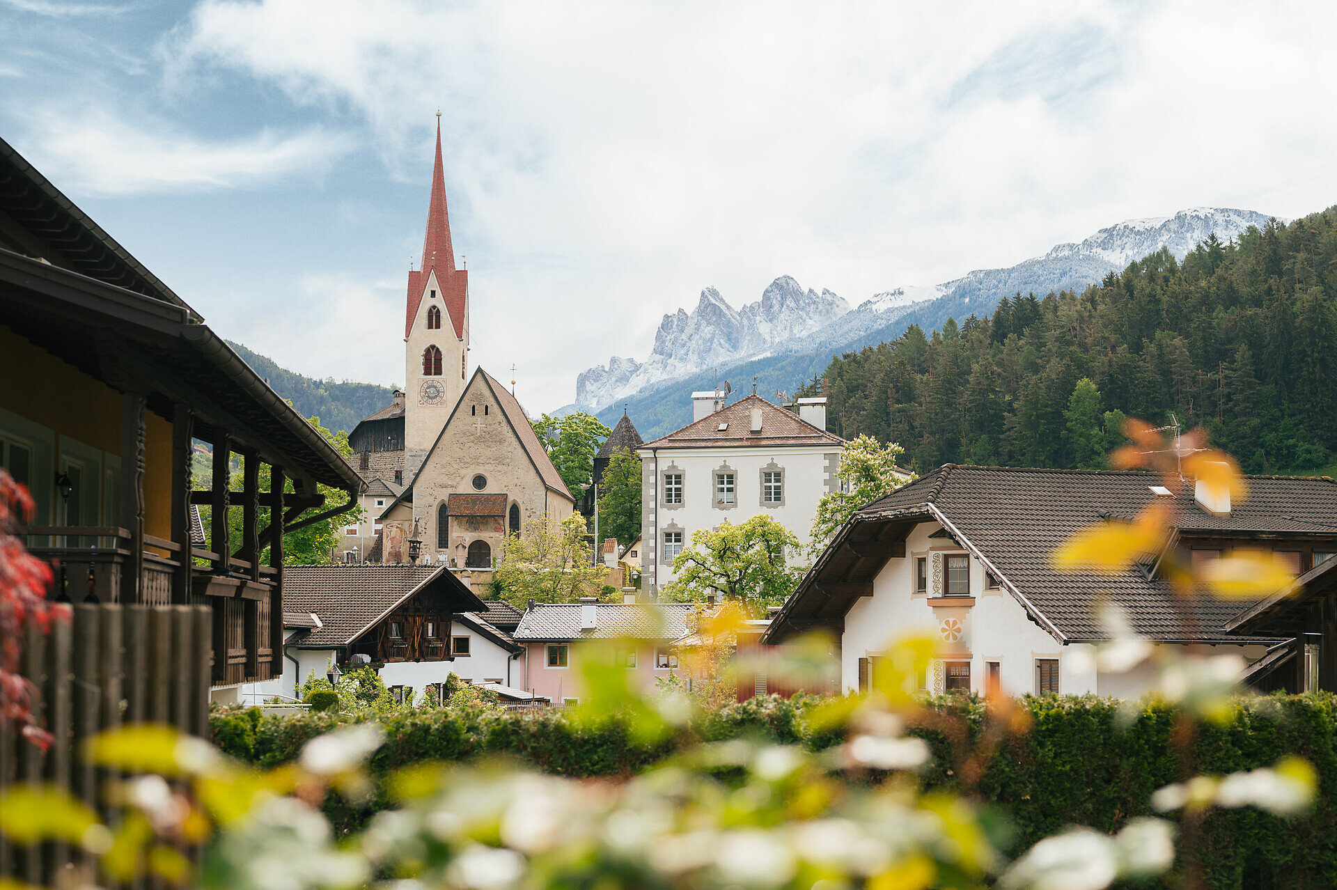
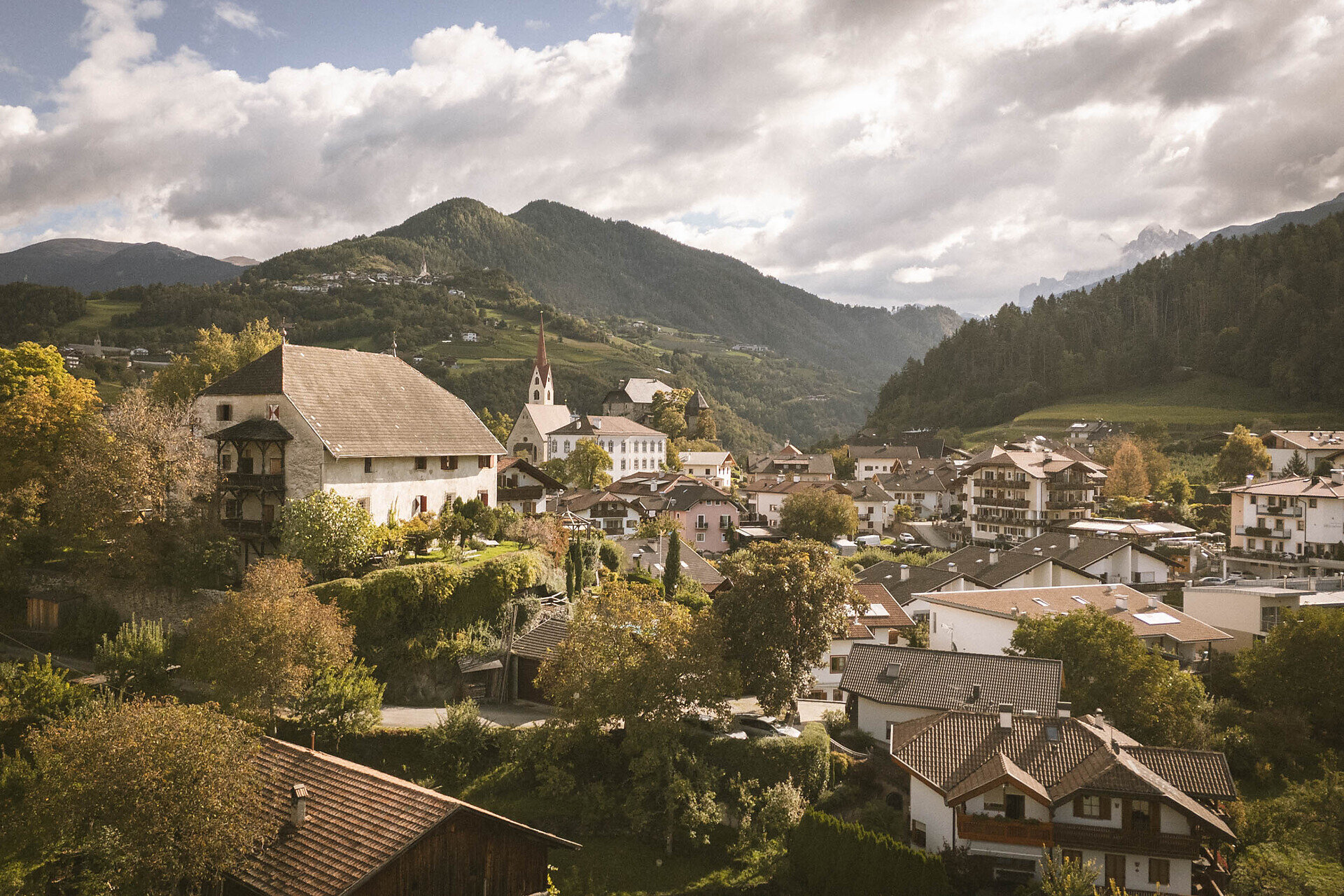
Circular hike from Klausen to Albions and Gufidaun. The route follows hiking trails and short road sections through woodland and meadows.
The circular hike begins at the parish church in Klausen. From there, the route crosses the bridge over the Eisack River and continues to St. Andrew's Square. It then follows Trail No. 5 through an underpass beneath the railway line before climbing to the Dürer Stone. After crossing the road towards Val Gardena, the route continues along well-maintained paths through woodland and across partly steeper grassy slopes to Albions (890 m). From Albions, the trail descends gently into the Löchl Valley and then follows Trail No. 10 uphill to the historic Fonteklaus Manor. The route then descends steeply along a paved access road to Trail No. 4. Here, it turns sharply right and continues on a forest path to Gufidaun. A walk through the village's historic centre is recommended. The return to Klausen follows Trail No. 7. The route initially follows the main road before turning into a wooded section that leads back to the starting point.
Further information and useful links
The circular hike begins at the parish church in Klausen. From there, the route crosses the bridge over the Eisack River and continues to St. Andrew's Square. It then follows Trail No. 5 through an underpass beneath the railway line before climbing to the Dürer Stone. After crossing the road towards Val Gardena, the route continues along well-maintained paths through woodland and across partly steeper grassy slopes to Albions (890 m). From Albions, the trail descends gently into the Löchl Valley and then follows Trail No. 10 uphill to the historic Fonteklaus Manor. The route then descends steeply along a paved access road to Trail No. 4. Here, it turns sharply right and continues on a forest path to Gufidaun. A walk through the village's historic centre is recommended. The return to Klausen follows Trail No. 7. The route initially follows the main road before turning into a wooded section that leads back to the starting point.