It is a precious habitat, home to both people and wildlife – a place where we can breathe deeply and reconnect with ourselves. And it is exactly this space we want to protect. How, you might ask?
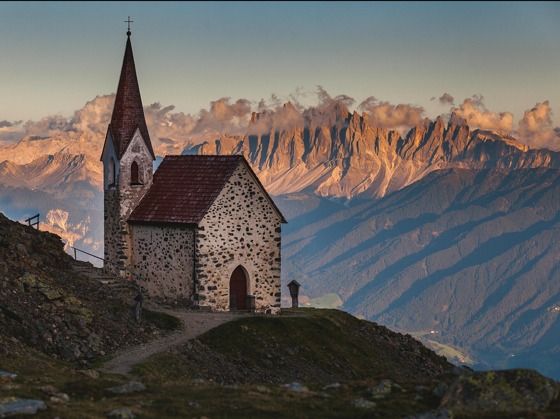
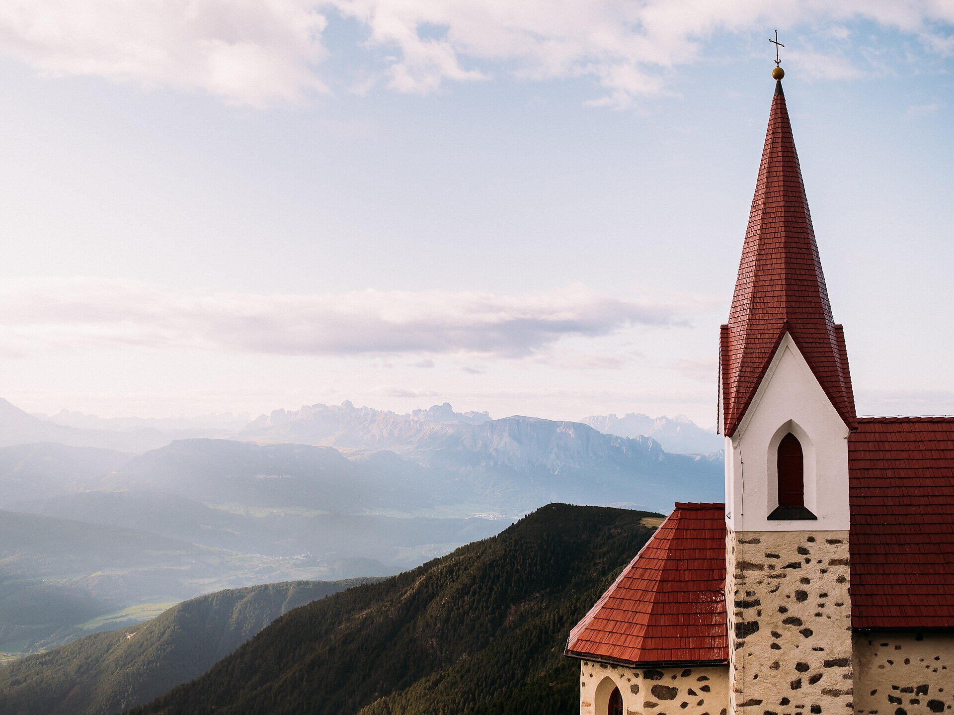
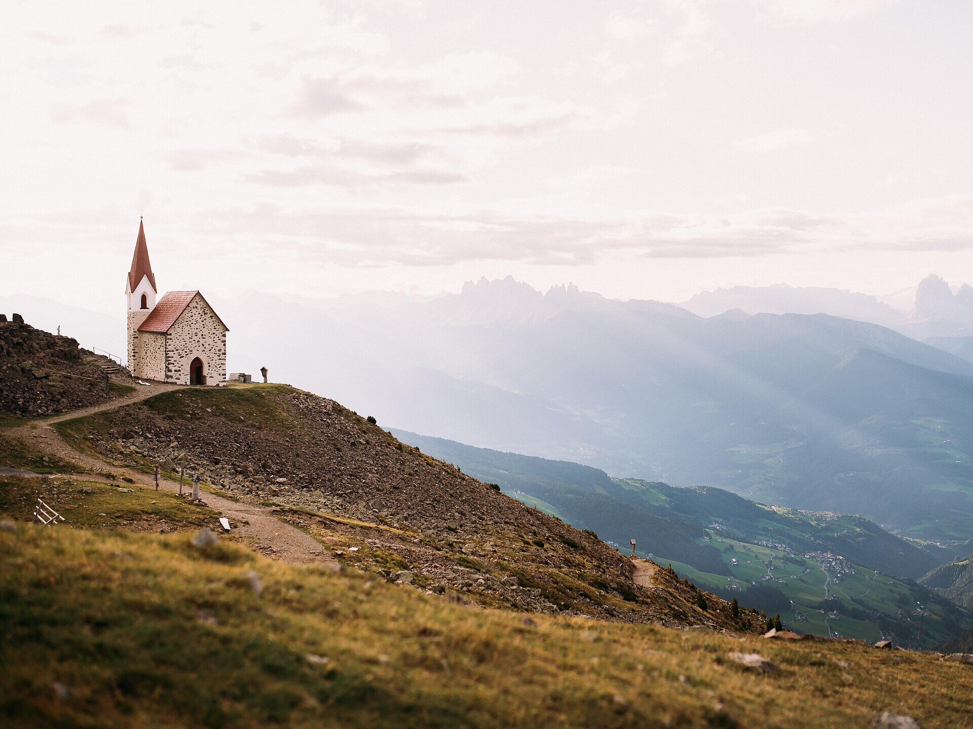
Scenic circular hike across the Latzfons Alp to Latzfonser Kreuz (2,311 m), one of the highest pilgrimage sites in Europe.
The hike to Latzfonser Kreuz leads through the spectacular alpine landscape of the Latzfons Alp, following scenic mountain trails to one of the highest pilgrimage sites in Europe. The route passes the Jochalm mountain hut before continuing to the area known as Stange, then climbs along well-marked mountain paths to Latzfonser Kreuz at an altitude of 2,311 metres. For the return, a circular route via Kesslbild offers a varied descent back to the starting point at Kaseregg.
From the Kaseregg car park, follow trail no. 15 past the Jochalm mountain hut. After about 1 km, reach a trail junction and keep right onto trail no. 15B towards Stange. From there, continue left on trail no. 15A and then follow trail no. 1 up to Latzfonser Kreuz. For the return, the route leads via Kesslbild before rejoining trail no. 15 back to Kaseregg.
Categories
Other hikes
Route data
Intermediate
Distance
7,4 km
Duration
2 h
50 min
Ascent
507 m
Decent
507 m
Technical skills
Physical condition
Scenary
Highest point
2.341 m
Lowest point
1.960 m
public transportation
In summer, our hiking bus takes you comfortably to the most beautiful hiking areas in the heart of South Tyrol. Enjoy the unspoilt nature of the Villandro Alp, Latzfons Alp, Feldthurns Alp and Barbian Alp/Rittner Horn.
13 May – 31 October 2026
Every Wednesday and Friday
09.00: Departure from Latzfons (reachable by public transport – see timetable below)
16.30: Return journey from Kaseregg
Prices
€4.00 – Kühhof (fare for a single journey) €4.50 – Kaseregg (fare for a single journey) Free with the Guest Pass of the Klausen Tourist Association
Bus to Latzfons:
Bus line 343: Klausen/Chiusa (08.32) – Feldthurns/Velturno (08.47) Change in Feldthurns/Velturno to bus line 342: Feldthurns/Velturno (08.47) – Latzfons (08.58)
Bus from Latzfons:
Bus line 342: Latzfons (16.58) – Feldthurns/Velturno (17.08) Change in Feldthurns/Velturno to bus line 343: Feldthurns/Velturno (17.08) – Klausen/Chiusa (17.23)
Leave the motorway at the Klausen/Chiusa exit. At the first roundabout take the first exit, and at the second roundabout take the second exit. After a few hundred metres, turn right towards Feldthurns/Velturno. In Feldthurns, turn left towards Latzfons. Drive through the village of Latzfons and then follow the signs to the Jochalm-Kaseregg car park.