
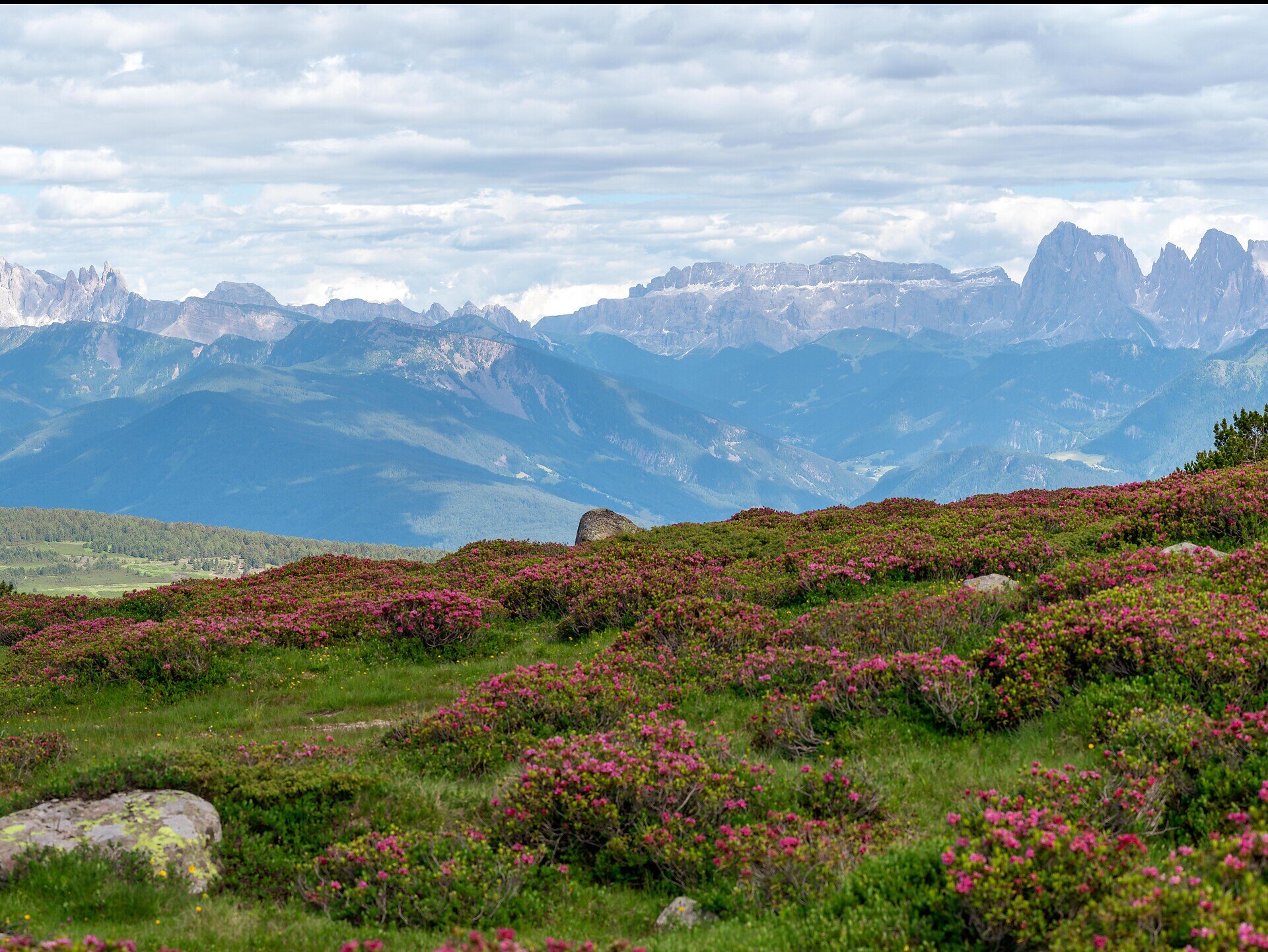
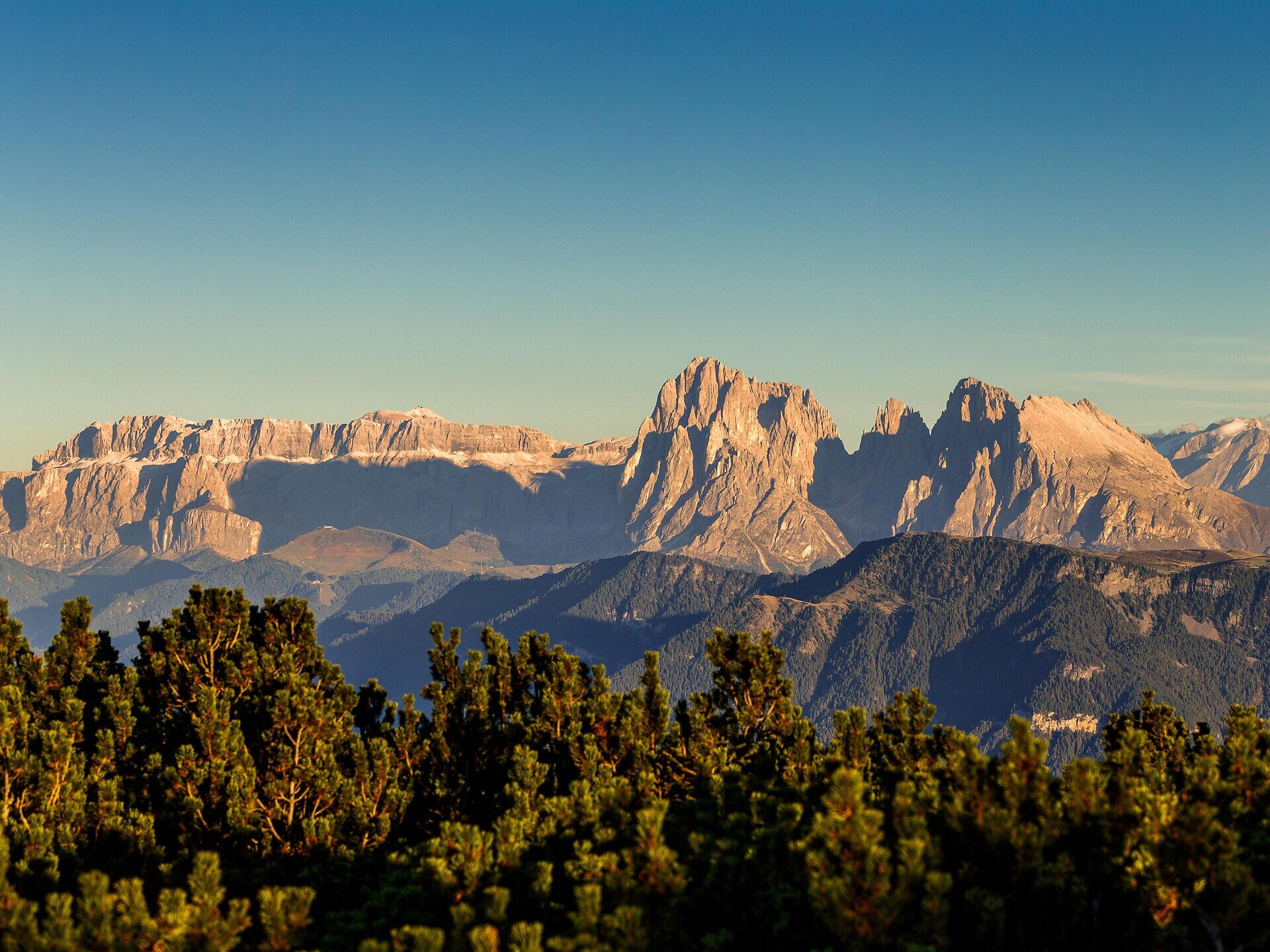
This varied circular hike leads from the Huber Kreuz car park through the open landscape of the Barbian Alps to the summit of the Rittner Horn. Along the way, you pass the traditional mountain-pine oil distillery before continuing along alpine tracks and mountain trails to the highest point of the hike. The summit offers impressive panoramic views of the surrounding mountains and the Dolomites.
The return route leads past the Feltuner Hut, the Unterhornhaus and Pennleger before returning to the starting point. This demanding mountain hike requires good fitness, sure-footedness and sturdy hiking boots. Several refreshment stops are available along the route. As long sections run above the tree line, you should carry sufficient water as well as sun and rain protection.
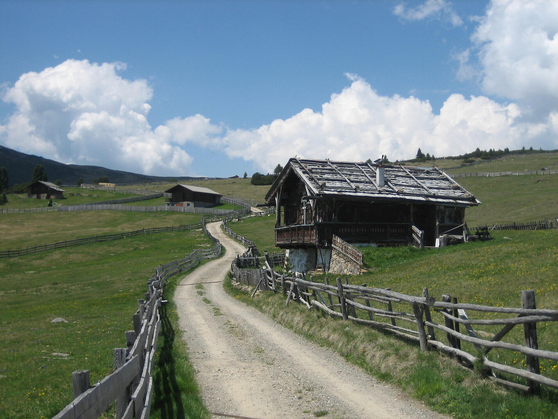
The circular hike begins at the Huber Kreuz car park. From there, initially follow trail no. 4 to the next junction. Change to trail no. 15, which leads through the alpine landscape to the mountain-pine oil distillery.
From the distillery, continue first along trail no. 3. Then change to trail no. 4 and climb towards the Rittner Horn. The Platzeralm, situated at approximately 2,060 metres, lies close to the route and offers refreshments when open.
Continue along trail no. 4 to the Rittner Horn, the highest point of the hike. The Rittner Horn mountain hut is located at the summit. From here, you can enjoy panoramic views of the surrounding mountains and the Dolomites.
For the return journey, follow trail no. 1 downhill to the Feltuner Hut and the Unterhornhaus. Both huts provide opportunities for refreshments and a rest.
From the Unterhornhaus, descend towards Pennleger along trail no. 3A. Then change to trail no. 3B, which leads through the Barbian Alps and back to the Huber Kreuz car park.
Trail conditions:
The route follows alpine tracks and forest roads as well as some narrow, steep and rocky mountain paths. The long climb to the Rittner Horn requires good physical fitness. Sure-footedness and sturdy mountain boots are essential. There is little shelter from the sun and thunderstorms above the tree line. Carry sufficient water as well as sun and rain protection. Check the current trail conditions and hut opening times before setting out.
Starting and finishing point: Huber Kreuz car park, approx. 1,610 m
Distance: approx. 12.9 km
Walking time: approx. 4 hours, excluding breaks
Ascent: approx. 886 m
Descent: approx. 886 m
Highest point: Rittner Horn, approx. 2,258 m
Difficulty: moderate
Trail numbers: 4, 15, 3, 4, 1, 3A and 3B
Refreshment stops: Platzeralm near the route, Rittner Horn mountain hut, Feltuner Hut and Unterhornhaus
Suitable for pushchairs: no


