Skip to main content Skip to footer Sitemap

Herbal Trail along the spiluck panoramaweg path

Brixen
Add to favourites
Difficulty
Easy
Duration
0:50
in hours
Distance
2.7
in km
Status
open
Categories
  • Theme paths
  • Family hikings
Suggested period
Jan
Feb
Mar
Apr
May
Jun
Jul
Aug
Sep
Oct
Nov
Dec

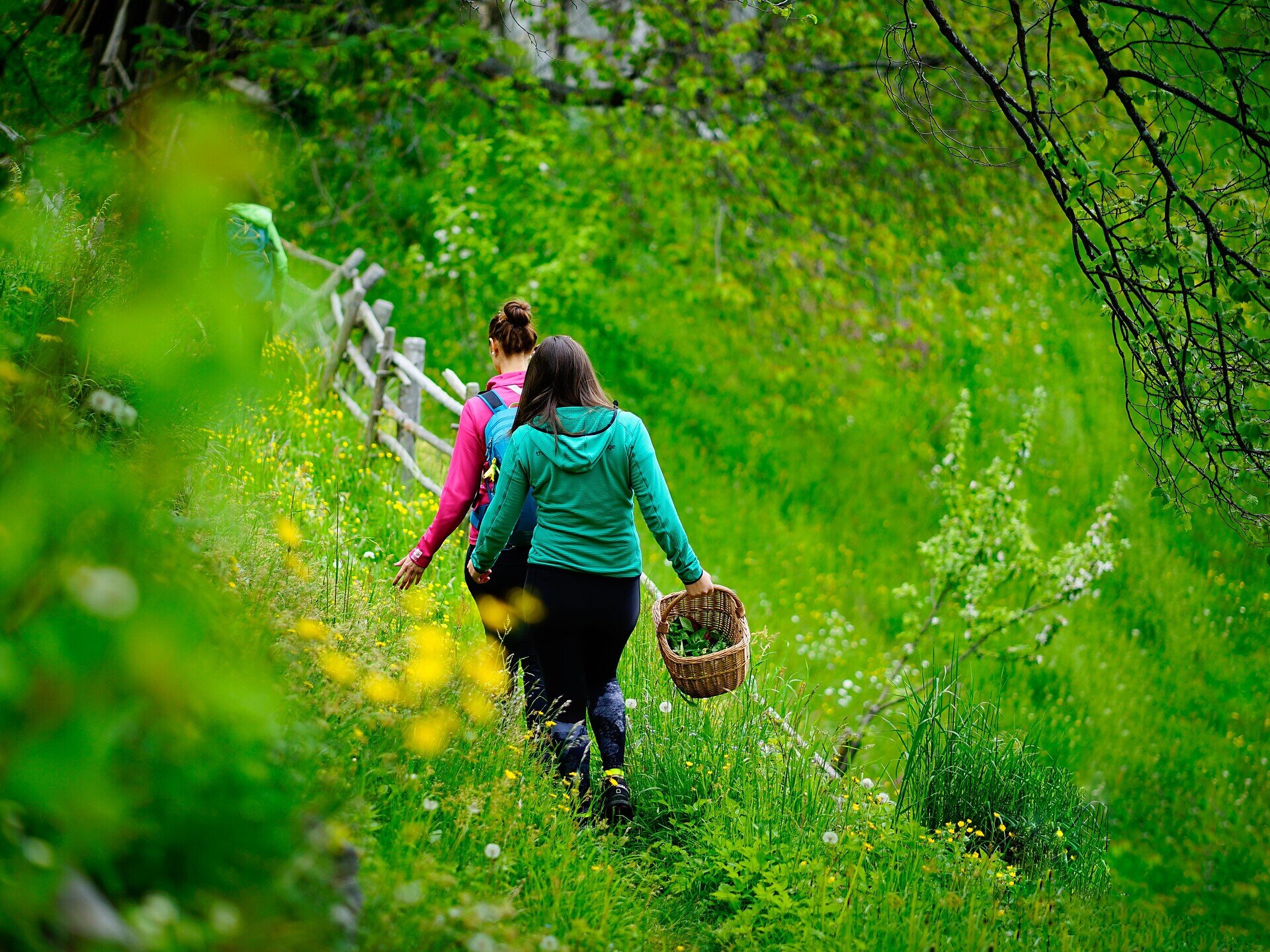
Numerous herbal remedies have been used in traditional medicine over the centuries for the prevention of disease, to heal and for pain relief. Along the Panoramaweg panoramic trail in Spiluck/Spelonca, visitors learn more about local herbs and plants with medicinal effects.
Gallery
Further information and useful links

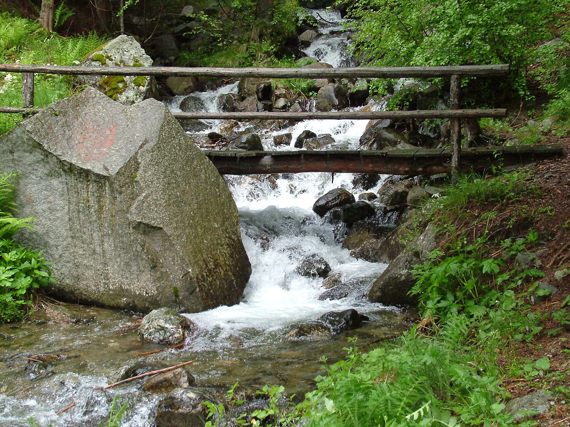
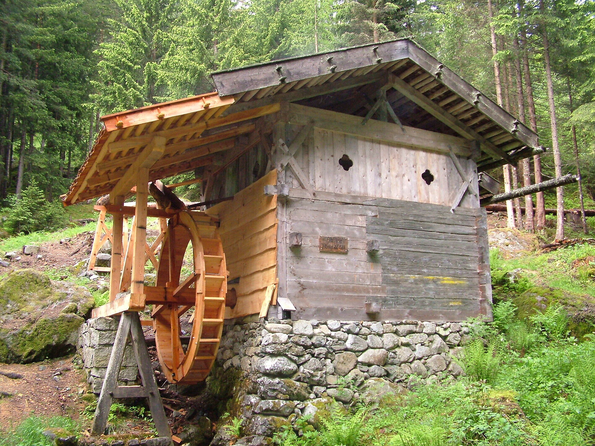
Starting at the fire station in Spiluck (1,333 m), circular hiking trail no. 2/A leads northwest to the Spilucker Bachgraben ditch. Past the old Kornmühle mill on the right it leads up a moderate incline to the Gasthof Gostnerhof Inn (1,402 m, rest stop). Following the Panoramaweg, it crosses through the fields past the Gruberhof farm to the Gasthof Ortner Inn (1,326 m, rest stop). Descend eastwards along trail no. 2/A to the forest before reaching the Spilucker Platte lookout point (1,300 m). There’s an impressive view of the Brixen/Bressanone basin and the distinctive summits of the Geisler mountain range in the background.

Along the way are a variety of plants found in the woods and meadows with distinctive fragrances and real medicinal properties.

The return leads back via the Gasthaus Hanserhof Inn (1,302 m, rest stop).

Categories
  • Theme paths
  • Family hikings
Route data
Easy
Distance
2,7 km
Duration
50 min
Ascent
145 m
Decent
145 m
Technical skills
Physical condition
Scenary
Highest point
1.381 m
Lowest point
1.276 m
Suggestions

The Spilucker Platte lookout point offers a fantastic view of the Brixen basin and is also a popular family picnic spot.

You might be interested in
Discover related tours
Waterfall in Barbian | © Wolfgang Gafriller
Intermediate
Add to favourites
Klausen
Waterfalls of Barbiano/Barbian - Briol and Trechiese/Dreikirchen
Distance 8,9 km
Duration 3 h 09 min
Ascent 746 m
Decent 746 m
Status
open
Natz-Schabs
The “Schabna Themenweg” themed trail - for those interested in history
Distance 4,5 km
Duration 1 h 00 min
Ascent 86 m
Decent 63 m
Status
open
Natz-Schabs
From Church to Church near Natz|Naz
Distance 5,5 km
Duration 1 h 35 min
Ascent 124 m
Decent 124 m
Status
open
Natz-Schabs
Across the Biotopes of the Natz- Schabs Apple Plateau
Distance 9,4 km
Duration 2 h 33 min
Ascent 172 m
Decent 172 m
Status
open
Radllake | © Brixen Tourismus Gen.
Intermediate
Add to favourites
Brixen
From Gereuth on Pfeffersberg mountain to the Hundskopf summit and Radlseehütte mountain hut
Distance 9,4 km
Duration 3 h 35 min
Ascent 971 m
Decent 971 m
Status
open
Circular Hiking | © Kottersteger
Intermediate
Add to favourites
Brixen
Skihütte - Valcroce Circular Hiking Tour
Distance 9,2 km
Duration 3 h 10 min
Status
open
Where?
When?
Who?
Rooms
1