Skip to main content Skip to footer Sitemap

Gitschberg Alpine Hut Circuit

Gitschberg Jochtal
Add to favourites
Difficulty
Intermediate
Duration
4:30
in hours
Distance
10.9
in km
Status
open
Categories
  • Other hikes
Suggested period
Jan
Feb
Mar
Apr
May
Jun
Jul
Aug
Sep
Oct
Nov
Dec
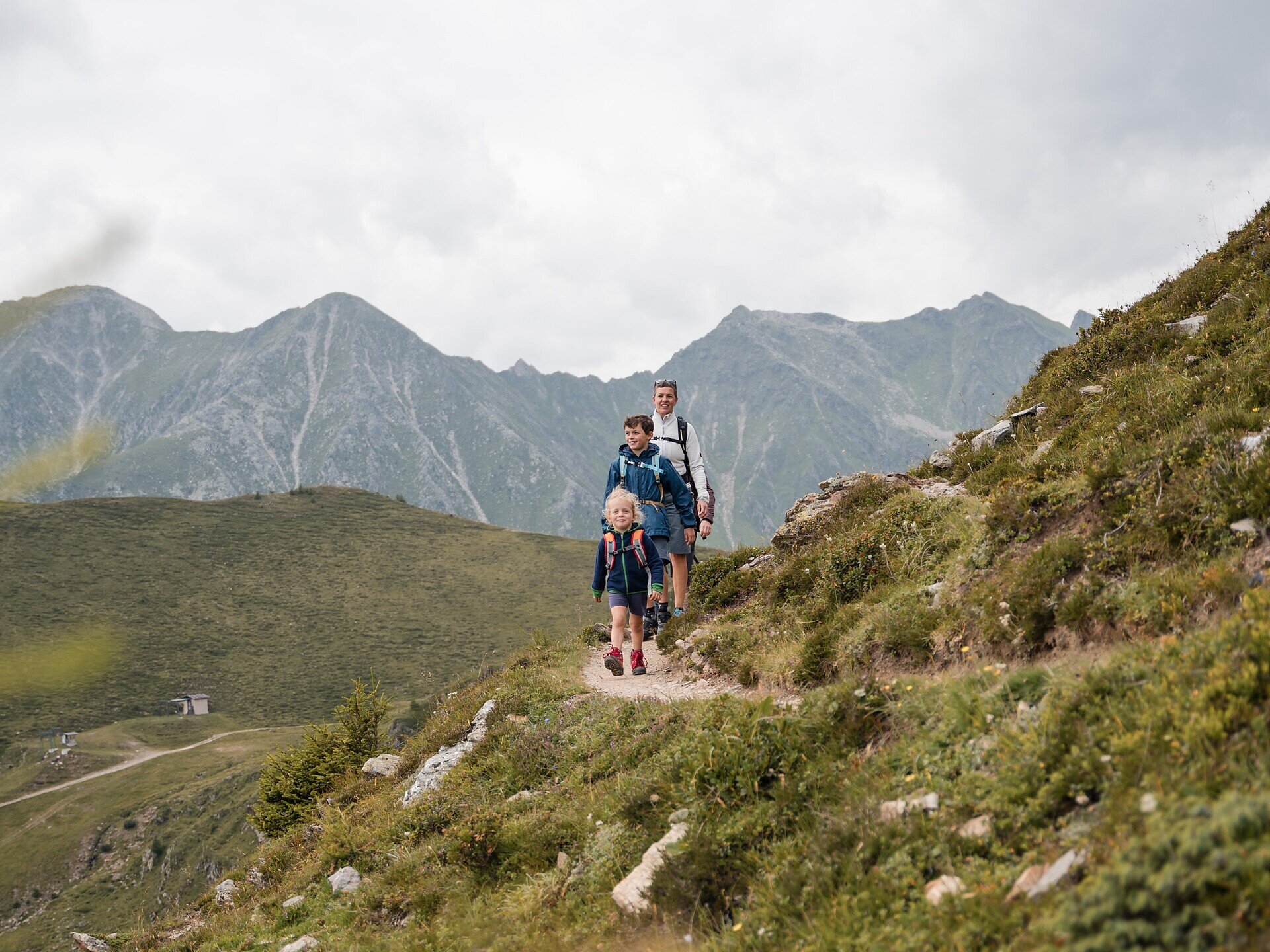
The Gitschberg Alpine Hut Circuit takes you to several alpine huts in the region, from traditional huts to welcoming refreshment stops. Along the route, you can enjoy views of the Puster Valley and the Pfunderer Mountains. The viewpoints at the Moserhütte and the Gampen rest area with its wooden sculptures are particularly recommended.
Gallery
Further information and useful links

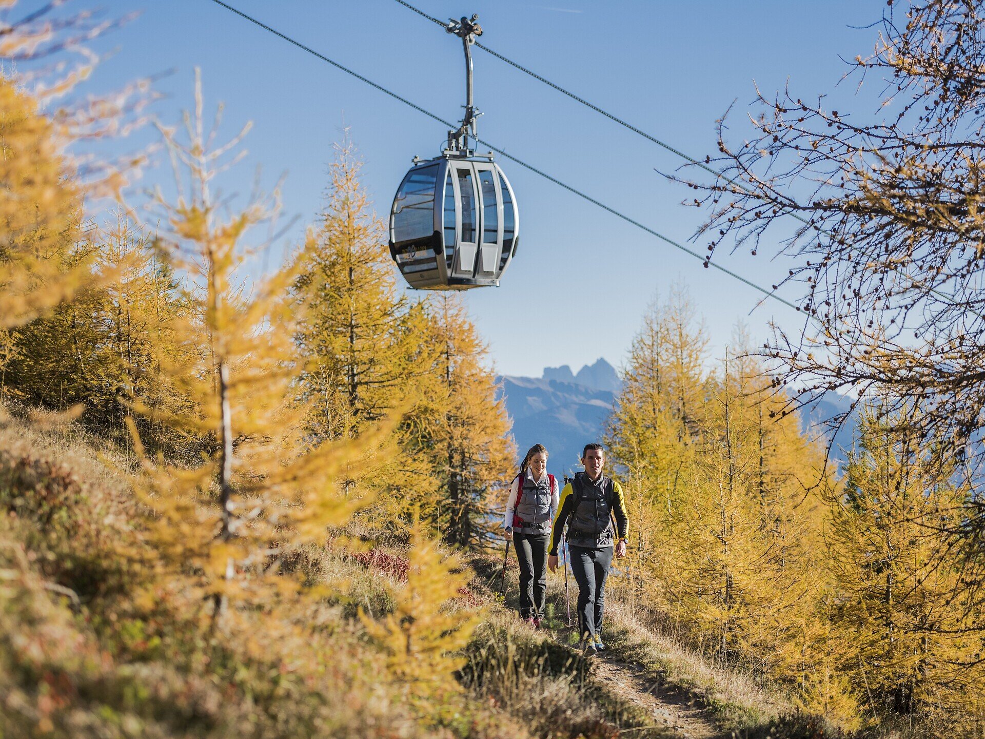
The hike starts at the Gitschberg mountain station, which is easily reached by cable car. The circular trail is well signposted and easy to follow.

First, follow trail no. 20 to the Gitsch Hut, where refreshments are available. Continue on trail no. 12 to the Zassler Hut, which does not offer refreshments. Trail no. 21 then leads to the Ochsenboden. From there, continue to the junction with trail no. 6, turn left and follow the route over the Kleiner Gitsch to the panoramic viewpoint before continuing to the Moser Hut, where refreshments are available.

From the Moser Hut, descend to the Gampen rest area. The hike then continues left across meadows and through the forest towards the Gassler Alm and on to the Bacher Hut, where refreshments are available. Continue on trail no. 14, then turn right onto trail no. 19A leading to the Kiener Alm, where refreshments are available. Follow trail no. 20 uphill again. Afterwards, keep left and follow the Geißraste circular trail to the Pichler Hut, where refreshments are available. Finally, the circular trail returns to the Gitschberg mountain station, which is also the end point of the circular hike.

Categories
  • Other hikes
Route data
Intermediate
Distance
10,9 km
Duration
4 h 30 min
Ascent
653 m
Decent
653 m
Technical skills
Physical condition
Scenary
Highest point
2.261 m
Lowest point
1.679 m
You might be interested in
Discover related tours
Fane Alm | © TG Gitschberg Jochtal
Intermediate
Add to favourites
Gitschberg Jochtal
Milk trail: From Vals to the Fane Alm
Distance 2,8 km
Duration 1 h 15 min
Ascent 359 m
Decent 0 m
Status
open
Brixen
S. Leonhardo Circular Hiking Trail – Direction South
Distance 6,7 km
Duration 2 h 15 min
Status
open
Verdings | © Ivan Faller
Intermediate
Add to favourites
Klausen
The Birmehl Trail
Distance 3,1 km
Duration 1 h 00 min
Ascent 191 m
Decent 191 m
Status
open
Brixen
The Chestnut Trail from the Neustift monastery near Brixen to Terlan
Distance 82,0 km
Duration 4 h 00 min
Ascent 4.050 m
Decent 4.318 m
Status
open
Kloster Säben/Convento di Sabiona | © TV Klausen
Intermediate
Add to favourites
Klausen
Feldthurns - Säben - Hieng - Feldthurns
Distance 10,5 km
Duration 3 h 07 min
Ascent 586 m
Decent 586 m
Status
open
Natz-Schabs
Wine and Water Walk (Spazierweg Wein und Wasser) in Rasa/Raas
Distance 11,9 km
Duration 3 h 30 min
Status
open
Where?
When?
Who?
Rooms
1