Skip to main content Skip to footer Sitemap

From St. Leonhard to Kreuztal along the Brixen High Alpine Trail

Brixen
Add to favourites
Difficulty
Difficult
Duration
4:03
in hours
Distance
10.7
in km
Status
closed
Categories
  • Other hikes
  • Family hikings
Suggested period
Jan
Feb
Mar
Apr
May
Jun
Jul
Aug
Sep
Oct
Nov
Dec

This hike from St. Leonhard to Kreuztal combines impressive mountain scenery with magnificent views of the Eisacktal valley and the Dolomites. The starting point is Brixen bus station. Bus line 322 conveniently connects Brixen with St. Leonhard above the town, where the tour begins.

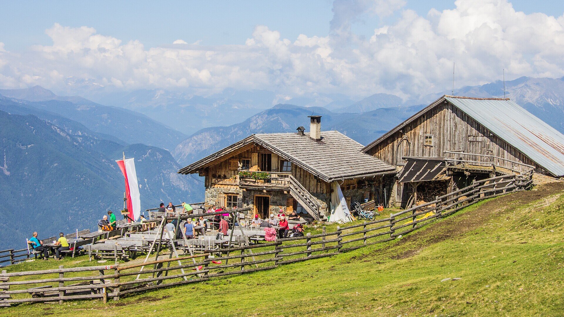
From St. Leonhard, the trail first leads through peaceful forests and alpine pastures towards Ackerboden. The Ackerbodenalm mountain hut is the first opportunity for a relaxing refreshment stop. Following varied and scenic paths, hikers eventually reach the Ochsenalm, an ideal place to enjoy a break surrounded by alpine landscapes.

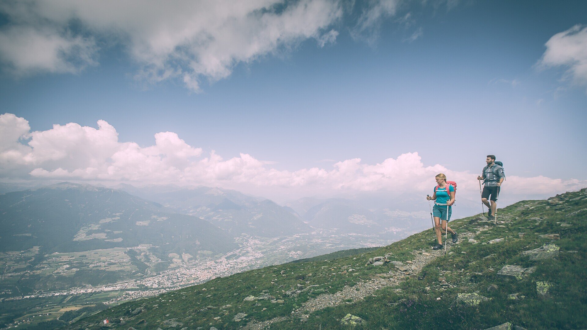
The hike then continues along the well-known Brixen High Alpine Trail to Kreuztal on Mount Plose. The trail impresses with its varied natural scenery, wide alpine meadows and stunning panoramic views of the Dolomites and the Sarntal Alps.

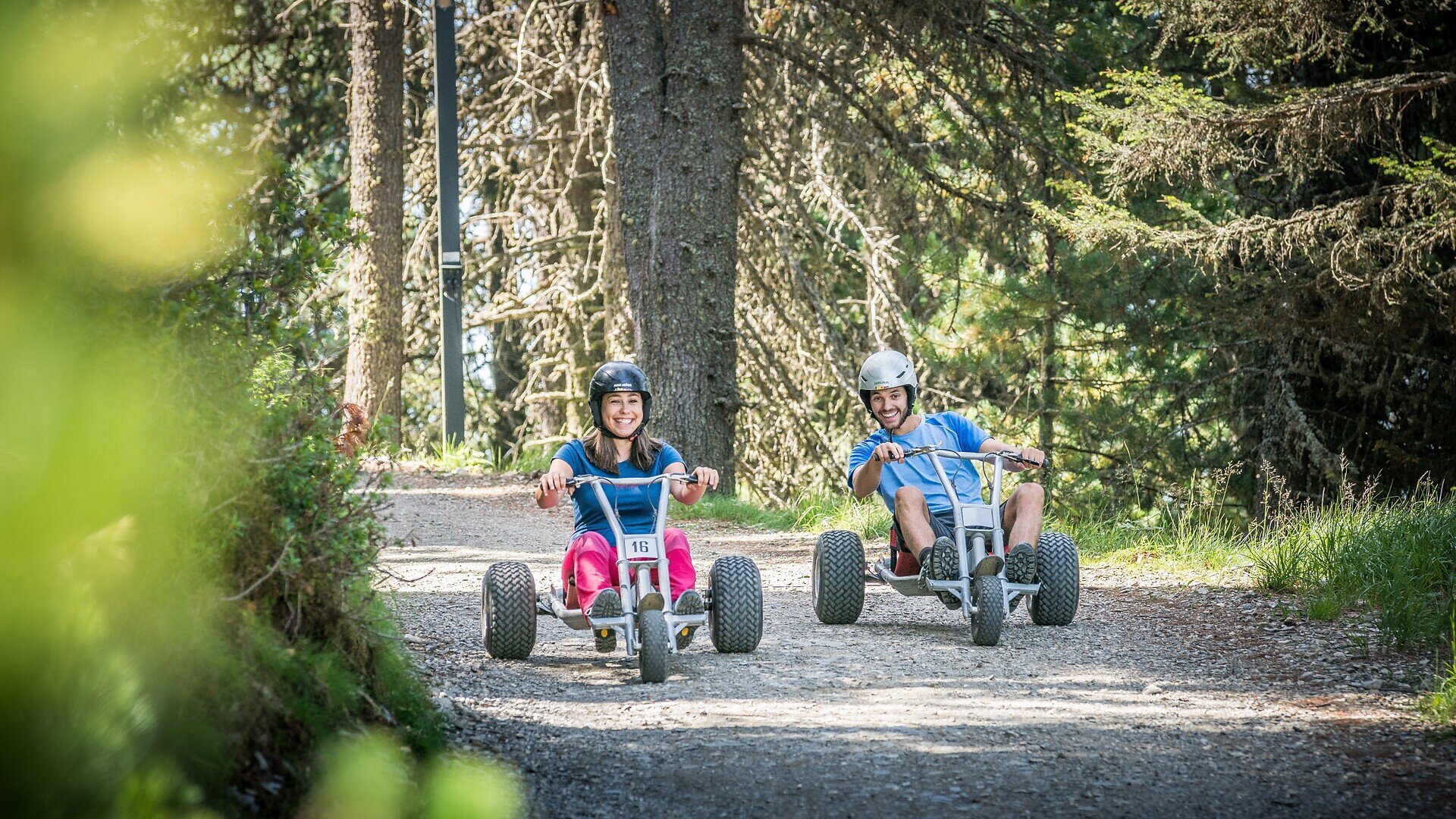
Once in Kreuztal, there is the option to return comfortably to the valley either by cable car or with the popular mountain carts down to the Plose valley station. From St. Andrä, bus line 321 provides the return journey to Brixen.

This tour is ideal for anyone wishing to actively experience the alpine mountain world around Brixen while combining nature, outdoor activity and breathtaking views.

Arrival by public transport
From Brixen bus station with bus line 322 to St. Leonhard.

Return by public transport
From St. Andrä / cable car station with bus line 321 to Brixen bus station.
Gallery
Categories
  • Other hikes
  • Family hikings
Route data
Difficult
Distance
10,7 km
Duration
4 h 03 min
Ascent
1.083 m
Decent
183 m
Technical skills
Physical condition
Scenary
Highest point
2.122 m
Lowest point
1.132 m
You might be interested in
Discover related tours
Brixen
A Hike along the Promenade in Brixen
Distance 7,6 km
Duration 2 h 14 min
Ascent 281 m
Decent 299 m
Status
open
Rittner Horn | © Wolfgang Gafriller
Intermediate
Add to favourites
Klausen
From the village of Barbian to the Rittner Horn
Distance 10,7 km
Duration 3 h 30 min
Ascent 666 m
Decent 666 m
Status
open
Altfasstal | © TG Gitschberg Jochtal
Intermediate
Add to favourites
Gitschberg Jochtal
From Gitschberg to Altfasstal Valley: Panoramas and Alpine Huts to discover
Distance 11,4 km
Duration 3 h 05 min
Ascent 183 m
Decent 903 m
Status
open
Schabs | © TG Natz-Schabs, Florian Andergassen
Intermediate
Add to favourites
Natz-Schabs
Round Trip to Stegerbühel Hill
Distance 3,4 km
Duration 1 h 00 min
Ascent 90 m
Decent 90 m
Status
open
Teis - Tiso | © Tourismusverband Eisacktal
Intermediate
Add to favourites
Brixen
From Albeins to Teis
Distance 8,8 km
Duration 2 h 47 min
Ascent 465 m
Decent 465 m
Status
open
Moutain pastures Latzfonser and Villanderer Alm | © Tobias Kaser Photography
Intermediate
Add to favourites
Klausen
Kaseregg - Saltner Hütte – Stöfflhütte – Kaseregg
Distance 9,6 km
Duration 2 h 50 min
Ascent 386 m
Decent 386 m
Status
open
Where?
When?
Who?
Rooms
1