Skip to main content Skip to footer Sitemap

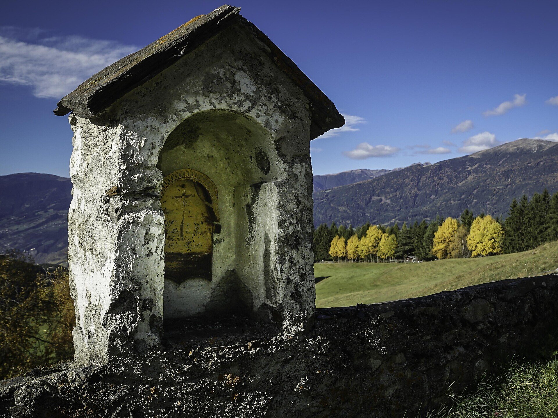
From St. Andrä to the Freienbühel pilgrimage church - Kreuzweg Trail (St. Gerog / Afers)

Brixen
Add to favourites
Difficulty
Intermediate
Duration
2:31
in hours
Distance
5.9
in km
Status
closed
Categories
  • Pilger route
  • Family hikings
Suggested period
Jan
Feb
Mar
Apr
May
Jun
Jul
Aug
Sep
Oct
Nov
Dec

From St. Andrä/S. Andrea near Brixen/Bressanone to the Freienbühel Pilgrimage Church following the Kreuzweg (Way of the Cross). 
Gallery
Further information and useful links

Start the hike in St. Andrä at the Plose gondola lift valley station (1,067 m) above Brixen. Follow trail no. 5 as it rises to the right of the Trametschbach torrent as far as the Niederrutzner-Hof farm (refreshment stop). From here, trail no. 5 follows the Way of the Cross as it runs through the shady forest along the northwest slope for a fairly long stretch before coming to a ridge. After a short ascent, the track reaches the Mariahilf am Freienbühel Pilgrimage Church (1,770 m). The return hike is south back down trail no. 5, along the Way of the Cross to St. Georg-Afers/S. Giorgio-Eores (1,500 m). From there head to St. Andrä by bus, back to the starting point.

Categories
  • Pilger route
  • Family hikings
Route data
Intermediate
Distance
5,9 km
Duration
2 h 31 min
Ascent
716 m
Decent
279 m
Technical skills
Physical condition
Scenary
Highest point
1.770 m
Lowest point
1.059 m
Suggestions

As an alternative, start at the Plose gondola lift mountain station (2,050 m) and follow trail no. 3 to the Mariahilf am Freienbühel Pilgrimage Church (1,770 m). From there descend to St. Andrä or to St. Georg/Afers.

You might be interested in
Discover related tours
Gitschberg | © Alex Filz
Intermediate
Add to favourites
Gitschberg Jochtal
From Vals to the Fane alm meadows and up to the Brixner hütte mountain hut
Distance 7,0 km
Duration 3 h 08 min
Ascent 906 m
Decent 10 m
Status
closed
Gitschberg Jochtal
Historic trail of Mühlbach: A walk through 750 years of history
Distance 1,3 km
Duration 30 min
Ascent 24 m
Decent 24 m
Status
open
Terenten / Terento | © Brixen Tourismus Gen.
Intermediate
Add to favourites
Gitschberg Jochtal
From Terenten to the Tiefrastenhütte mountain hut
Distance 10,6 km
Duration 3 h 46 min
Ascent 900 m
Decent 900 m
Status
closed
Brixen
Neustift-Brixen Törggele Circuit Trail
Distance 6,1 km
Duration 1 h 46 min
Ascent 215 m
Decent 215 m
Status
open
Gitschberg Jochtal
Mills trail and earth pyramids
Distance 4,5 km
Duration 1 h 30 min
Ascent 235 m
Decent 235 m
Status
open
Brixen
Monastery Walls, Vineyards and the Archaeological Trail
Distance 8,5 km
Duration 2 h 32 min
Ascent 346 m
Decent 371 m
Status
closed
Where?
When?
Who?
Rooms
1