Skip to main content Skip to footer Sitemap

From Meransen to Moserhütte and Klein Gitsch

Gitschberg Jochtal
Add to favourites
Difficulty
Intermediate
Duration
3:00
in hours
Distance
5.2
in km
Status
open
Categories
  • Other hikes
Suggested period
Jan
Feb
Mar
Apr
May
Jun
Jul
Aug
Sep
Oct
Nov
Dec

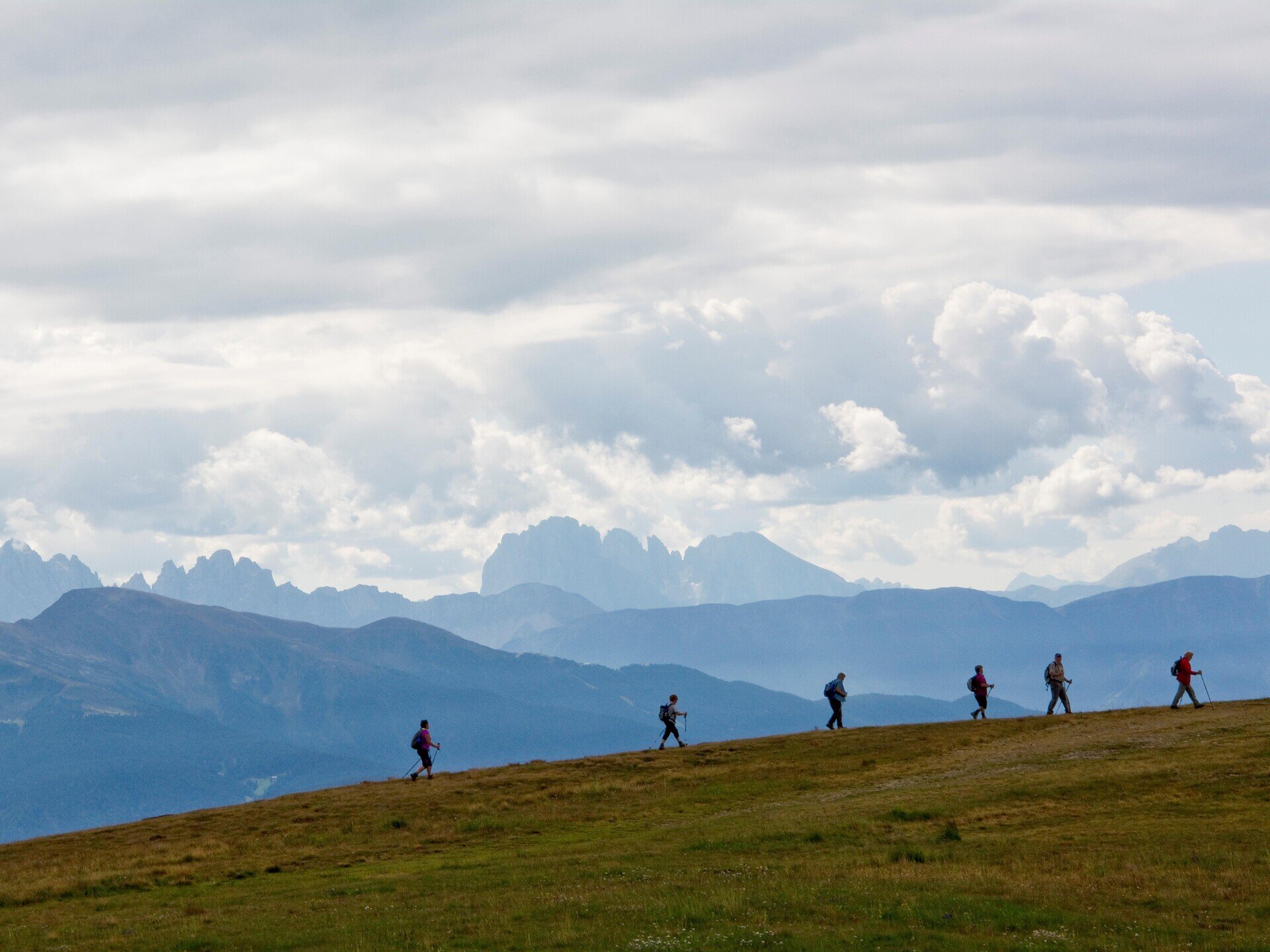
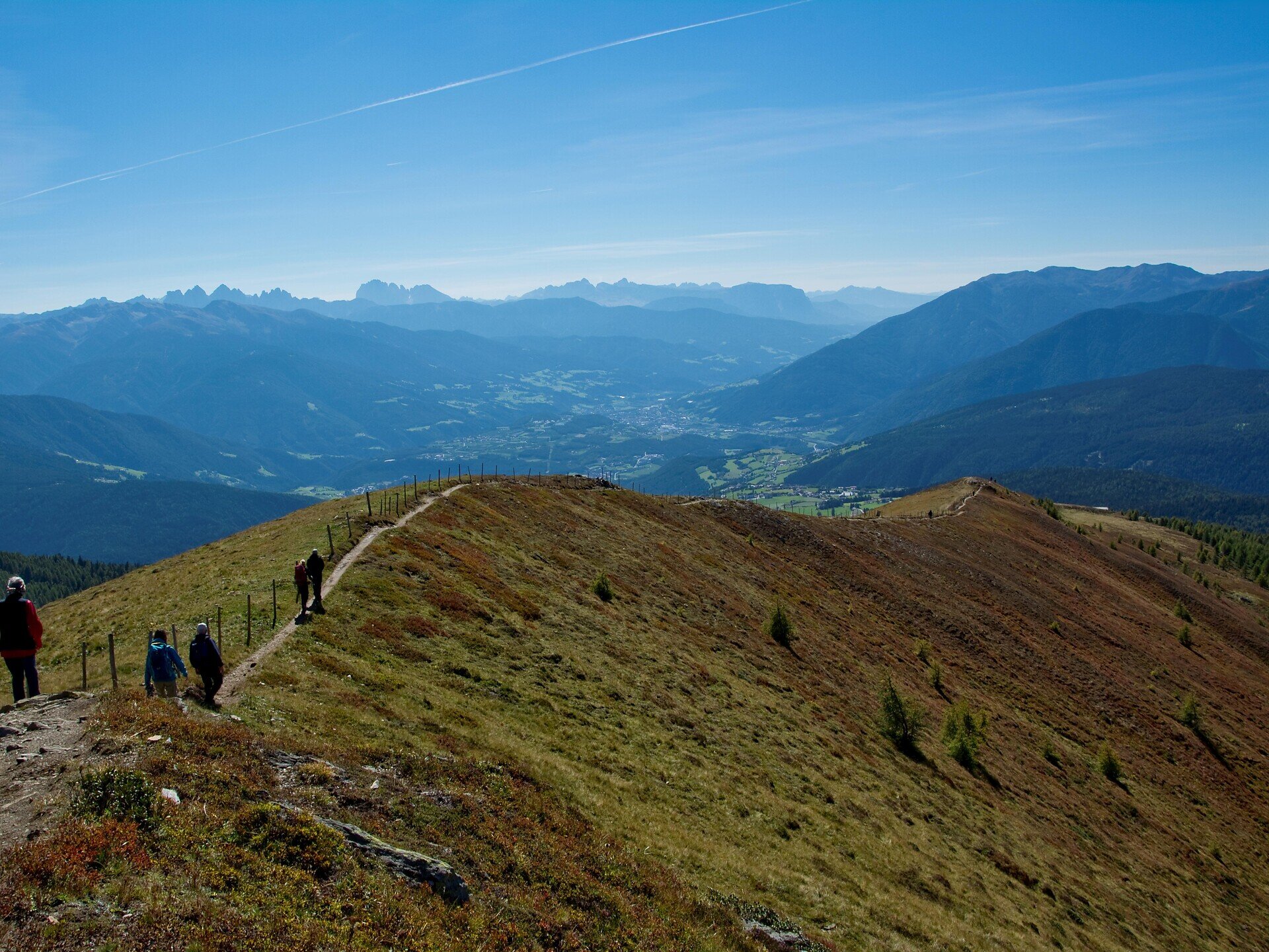
The hike leads from Meransen via Moserhütte to Klein Gitsch. The varied route takes you through forests, meadows and alpine pastures to the summit, where you can enjoy views of the surrounding mountains.
Gallery
Further information and useful links

The starting point of the hike is the Altfasstal parking lot. From there, follow the signs towards the Moseralm. Wide forest roads lead gently uphill through the woods to the Moser Hut. From here, Trail No. 6 continues across alpine meadows to the Klein Gitsch at 2,262 metres, which, after about one hour, marks the destination of the hike.

For the descent, you can either return along the same route or choose an alternative trail. From the Klein Gitsch, head north across the Ochsenboden to the Weißalm, then continue on Trail No. 12A to the Lafaie Alpine Hut. Following the marked Hunter's Trail, you cross the forested slopes until you reach a wide forest road that leads back to the Altfasstal parking lot, where the hike ends. Allow around two hours for the descent from the Klein Gitsch.

Categories
  • Other hikes
Route data
Intermediate
Distance
5,2 km
Duration
3 h 00 min
Ascent
654 m
Decent
0 m
Technical skills
Physical condition
Scenary
Highest point
2.261 m
Lowest point
1.605 m
You might be interested in
Discover related tours
Natz-Schabs
Apple Trail in Natz-Schabs /Naz-Sciaves
Distance 7,7 km
Duration 2 h 05 min
Ascent 135 m
Decent 139 m
Status
open
Spiluck - Spelonca | © Gemeinde Vahrn
Intermediate
Add to favourites
Brixen
From Spiluck to the Scheibenberg Mountain - Zirmait to Spiluck
Distance 9,4 km
Duration 3 h 23 min
Ascent 838 m
Decent 838 m
Status
open
Natz-Schabs
Raier Moos Nature Trail
Distance 2,2 km
Duration 40 min
Ascent 40 m
Decent 40 m
Status
open
Natz-Schabs
Walk to the viewpoint "Waldertor"
Distance 5,5 km
Duration 1 h 30 min
Ascent 160 m
Decent 160 m
Status
open
Bunker | © TG Gitschberg Jochtal
Intermediate
Add to favourites
Gitschberg Jochtal
From Mühlbach to the Bunker in Spinges: A Family Hike with Scenic Views
Distance 3,4 km
Duration 2 h 00 min
Ascent 596 m
Decent 16 m
Status
open
Brixen
Dolomites high mountain trail nº 2
Distance 140,4 km
Duration 57 h 43 min
Ascent 12.921 m
Decent 13.923 m
Status
open
Where?
When?
Who?
Rooms
1