Skip to main content Skip to footer Sitemap

From Albeins to Teis

Brixen
Add to favourites
Difficulty
Intermediate
Duration
2:47
in hours
Distance
8.8
in km
Status
open
Categories
  • Family hikings
Suggested period
Jan
Feb
Mar
Apr
May
Jun
Jul
Aug
Sep
Oct
Nov
Dec

This enjoyable family hike from Albeins/Albes retraces the historic trail to the small settlement of Teis/Tiso, at the entrance of the Villnösstal Valley.
Gallery
Further information and useful links

Start out from the centre of Albeins (580 m) take trail no. 9 to the Kasserolerhof farm (838 m), on the site of a prehistoric settlement. Proceed to the Schneckenbachgraben ditch and then follow the old irrigation canal trail (in German: Waalweg). After coming to a small pond, continue on trail no. 9 until you arrive at the village of Teis (963 m), which lies on a rising at the entrance of the Villnösstal Valley.

Visiting the Mineral Museum (recommended) take trail no. 7 from Teis until you reach the Evangelstein. Soon after, switch to trail no. 9A and then head down towards the crossing to the Höfeweg Farm Trail (trail no. 9). On the way back, follow the trail for a short distance before coming to Albeins. This route traces a number of old and historic trails some of which are lined with magnificent chestnut trees.

Categories
  • Family hikings
Route data
Intermediate
Distance
8,8 km
Duration
2 h 47 min
Ascent
465 m
Decent
465 m
Technical skills
Physical condition
Scenary
Highest point
1.005 m
Lowest point
595 m
Suggestions

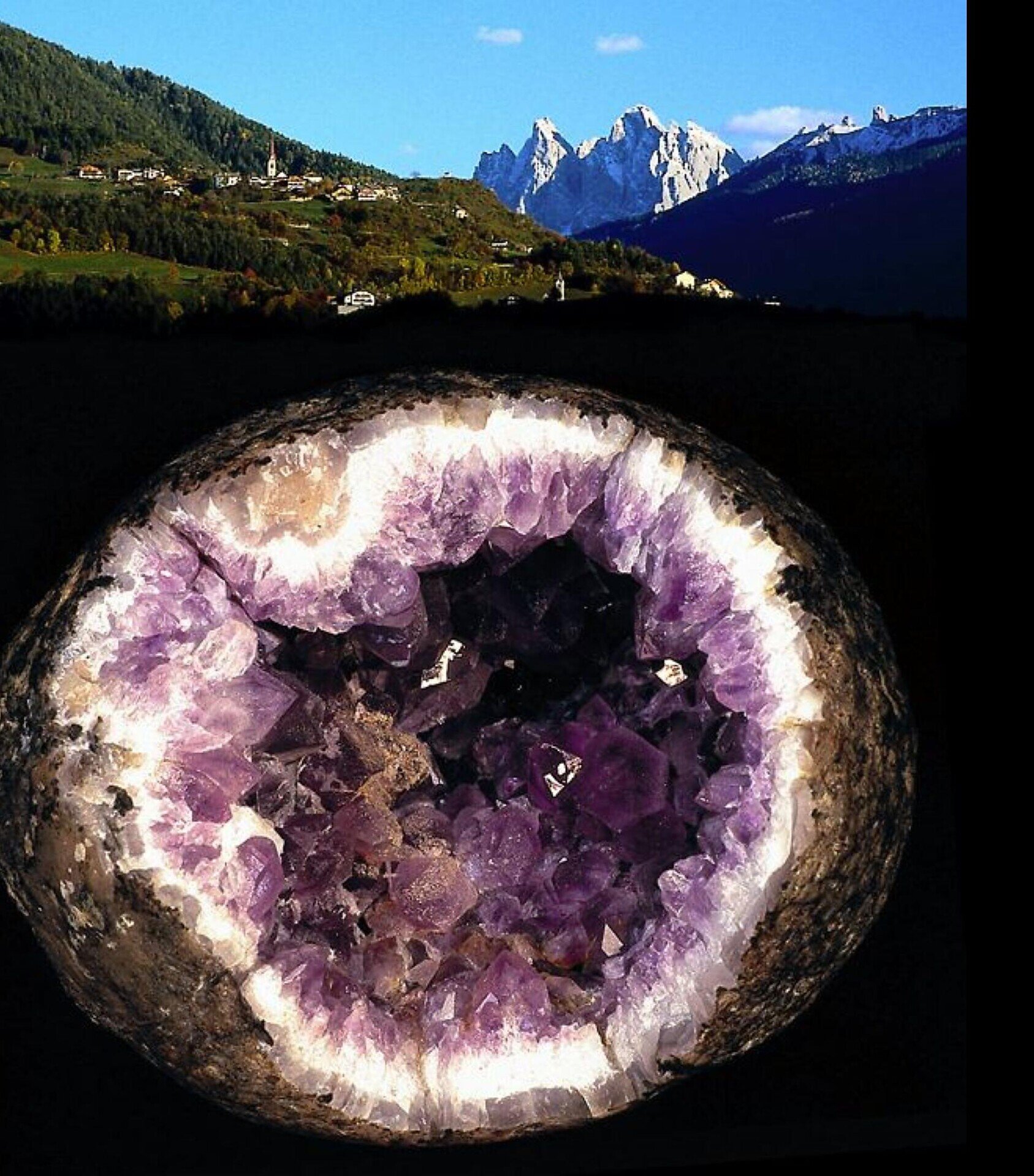
Don’t forget to pay a visit to the Mineral Museum of Teis.

You might be interested in
Discover related tours
Brixen
Eisacktal Valley Wine and Apple Trail
Distance 17,1 km
Duration 4 h 54 min
Ascent 495 m
Decent 495 m
Status
open
Afers - Eores | © Brixen Tourismus Gen.
Intermediate
Add to favourites
Brixen
From St. Andrä to the Freienbühel pilgrimage church - Kreuzweg Trail (St. Gerog / Afers)
Distance 5,9 km
Duration 2 h 31 min
Ascent 716 m
Decent 279 m
Status
open
Brixen
S. Leonhardo Circular Hiking Trail – Direction South
Distance 6,7 km
Duration 2 h 15 min
Status
open
Brixen
“Karlspromenade“ Circular Hiking Trail
Distance 5,8 km
Duration 2 h 15 min
Status
open
Gitschberg Jochtal
Panoramic hike to the Steinermandl
Distance 2,3 km
Duration 46 min
Ascent 147 m
Decent 35 m
Status
open
Klausen / Chiusa | © TG Klausen_ Rene Gruber
Intermediate
Add to favourites
Klausen
Hiking Circuit form Klausen to Gufidaun Via Albions and back
Distance 11,8 km
Duration 3 h 42 min
Ascent 603 m
Decent 603 m
Status
open
Where?
When?
Who?
Rooms
1