Skip to main content Skip to footer Sitemap

Feldthurns/Velturno - Garn/Caerna - Klausner Hütte/Rifugio Chiusa

Klausen
Add to favourites
Difficulty
Difficult
Duration
6:21
in hours
Distance
19.7
in km
Status
open
Categories
  • Family hikings
  • Other hikes
Suggested period
Jan
Feb
Mar
Apr
May
Jun
Jul
Aug
Sep
Oct
Nov
Dec
Circular hike from Feldthurns to Klausner Hut through forests and meadows with beautiful views.
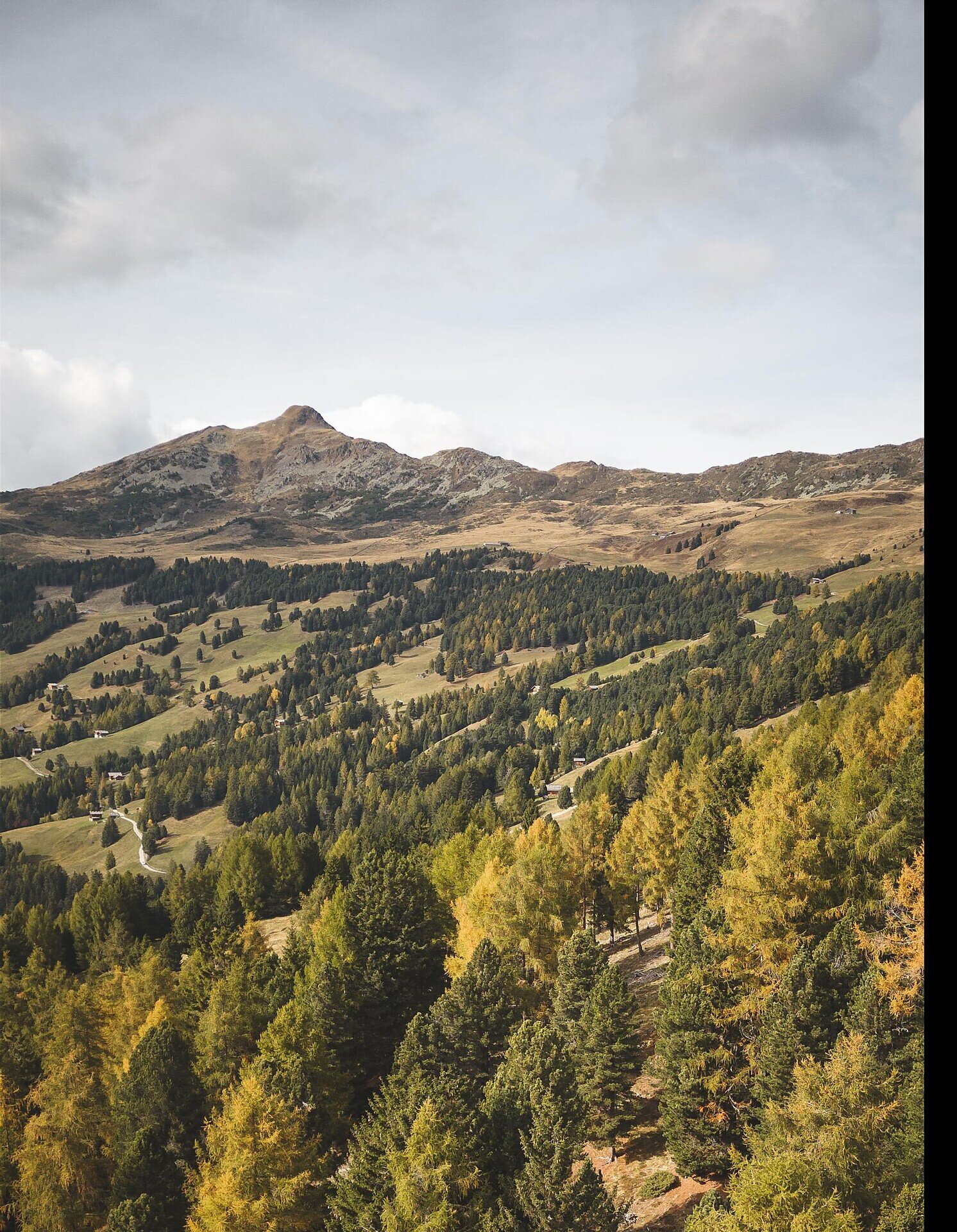
This varied hike leads from Feldthurns to the Klausner Hut, passing through dense forests, flowering meadows, and the characteristic cultural landscape of South Tyrol. Along the way, hikers are rewarded with beautiful panoramic views, while peaceful nature trails invite them to fully enjoy the surrounding scenery. The route returns via the Garner Wayside Cross, following a scenic path back to the starting point.
Gallery
Further information and useful links
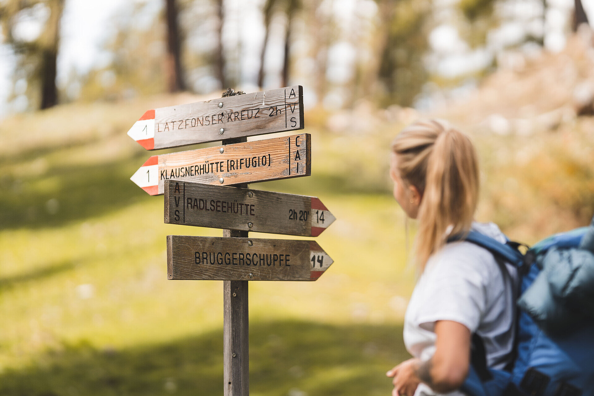
Starting from the village centre of Feldthurns, the trail first follows path no. 20 and then continues along path no. 16 towards Garn. From there, the route continues via paths no. 19 and no. 1 to the Kühhof. A charming trail through forests and meadows finally leads to the Klausner Hut, where hikers can enjoy beautiful views and a relaxing stop. The return route takes you via the Garner Wayside Cross (path no. 17) back to the starting point.
Categories
  • Family hikings
  • Other hikes
Route data
Difficult
Distance
19,7 km
Duration
6 h 21 min
Ascent
1.142 m
Decent
1.141 m
Technical skills
Physical condition
Scenary
Highest point
1.917 m
Lowest point
850 m
You might be interested in
Discover related tours
Fane Alm | © TG Gitschberg Jochtal
Intermediate
Add to favourites
Gitschberg Jochtal
Milk trail: From Vals to the Fane Alm
Distance 2,8 km
Duration 1 h 15 min
Ascent 359 m
Decent 0 m
Status
open
Brixen
Lonely and challenging: the Peissersteig
Distance 9,6 km
Duration 4 h 51 min
Ascent 1.462 m
Decent 1.544 m
Status
open
Three Churches | © Wolfgang Gafriller
Intermediate
Add to favourites
Klausen
Villanders - Bad Dreikrichen - Briol - Barbian Wasserfall - Barbian
Distance 9,3 km
Duration 4 h 00 min
Ascent 650 m
Decent 620 m
Status
open
Brixen
WoodyWalk on Mount Plose
Distance 5,5 km
Duration 1 h 36 min
Ascent 184 m
Decent 184 m
Status
open
Afers - Eores | © Brixen Tourismus Gen.
Intermediate
Add to favourites
Brixen
From St. Andrä to the Freienbühel pilgrimage church - Kreuzweg Trail (St. Gerog / Afers)
Distance 5,9 km
Duration 2 h 31 min
Ascent 716 m
Decent 279 m
Status
open
Barbian | © Wolfgang Gafriller
Intermediate
Add to favourites
Klausen
Barbiano - Huber Kreuz - Corno di Sotto
Distance 17,0 km
Duration 6 h 30 min
Status
open
Where?
When?
Who?
Rooms
1