
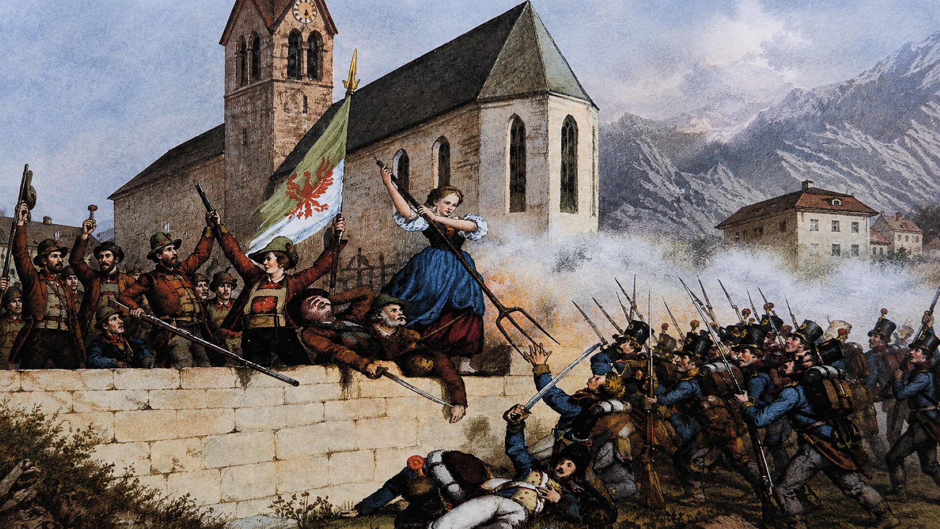
The Cultural Trail in Spinges invites you to discover the village’s history, culture and nature in a special way. Along the 3.5 km circular trail, 12 fascinating stations tell stories of courageous resistance, important personalities, deeply rooted faith and remarkable natural phenomena. Historic buildings, trenches and other places of historical interest bring the past of Spinges to life. At selected stations, audio and video content accessible via QR codes adds to the experience. The easy circular trail combines a pleasant walk in nature with fascinating insights into the history and special features of Spinges.
The circular trail is 3.5 km long, is rated as easy and has an elevation gain of approximately 130 metres. The walking time is around 1 hour.
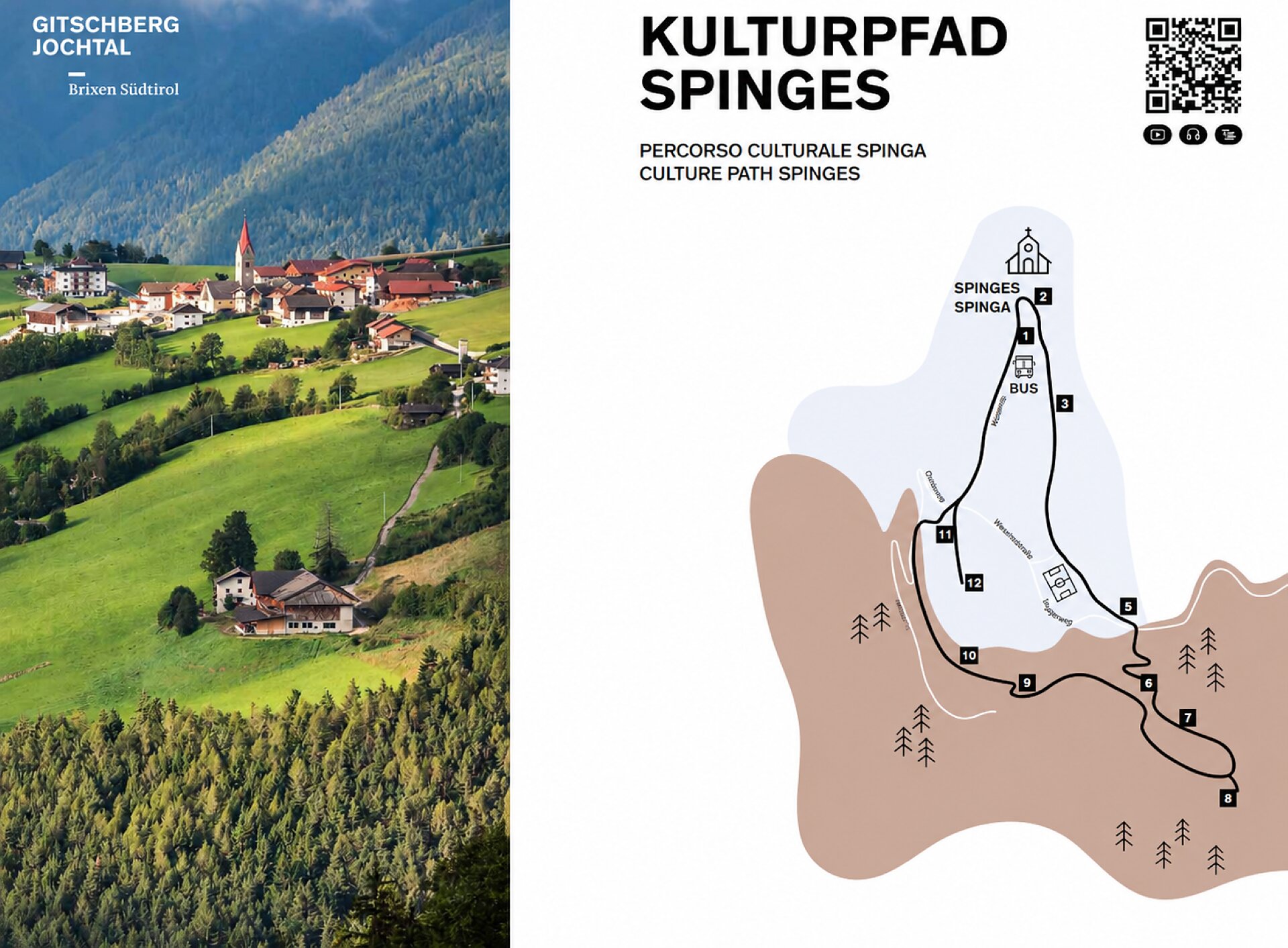
The Cultural Trail starts in the village centre of Spinges and leads through the village to the first stations of the themed trail. From the very beginning, the route offers an opportunity to discover the special character of Spinges, where history, faith and nature are closely connected. The individual stations tell fascinating stories of courageous resistance, important personalities, deeply rooted religious traditions and remarkable natural features.
After passing the first stations in the village, the route gradually leaves the centre of Spinges and continues southwards. It crosses open meadows before entering the surrounding forest. Along the way, the various stations provide interesting insights into the history, culture, personalities and natural environment of Spinges. Historic sites and buildings along the route illustrate how the village and its surroundings have developed over time and how strongly local traditions have shaped the area.
The trail also passes small religious buildings, historic trenches and other places of historical interest. These sites offer a glimpse into the past and help bring the stories of Spinges to life. At several stations, QR codes provide access to additional audio and video content, allowing visitors to learn even more about the events, people and special features connected with each location.
In the southern section, the Cultural Trail continues through the forest. Here, the route forms a loop and gradually turns back towards Spinges. The combination of wooded sections, open meadows and views of the surrounding landscape makes the walk varied while remaining suitable for a leisurely excursion.
As the trail approaches Spinges again, the final stations are located above and on the outskirts of the village. From here, the route leads back towards the starting area. The Cultural Trail ends back in Spinges, making it a convenient circular walk without the need to organise transport from a separate finishing point.


