It is a precious habitat, home to both people and wildlife – a place where we can breathe deeply and reconnect with ourselves. And it is exactly this space we want to protect. How, you might ask?
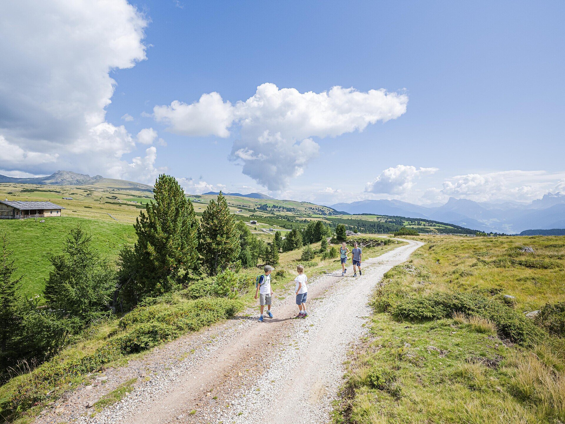
Scenic loop across the Villanders Alpine Pasture with meadows, moors, lakes and cozy huts serving traditional South Tyrolean specialties.
The Villandro Alpine Pasture is an extensive high-alpine plateau above the village of Villandro, between the Tinne stream and the Zargen stream. The alpine pasture is characterised by lush green meadows, moorlands, lakes and grass-covered mountain knolls. Numerous mountain huts are scattered across the alpine pasture and offer every hiker wonderful traditional dishes and refreshing drinks.
From the Saltnerstein car park (Gasser Hütte), follow trail no. 6 via Mair in Plun and Pfroder Alm to the Totenkirchl. From there, stay on trail no. 6 towards the Schwarzseen lakes and Moar in Ums, where you switch to trail 16B. This trail leads to the Prackfiederer Jöchl. Continue on trail no. 16 and then 16B, passing the Marzuner Schupfe, then take trail no. 15 back to Mair in Plun; shortly afterwards, switch to trail 23. This takes you to the Rinderplatzhütte, and then via trails 23 and 24 you return to the Gasser Hütte – Saltnerstein car park.
Categories
Other hikes
Route data
Intermediate
Distance
13,3 km
Duration
4 h
00 min
Ascent
498 m
Decent
498 m
Technical skills
Physical condition
Scenary
Highest point
2.186 m
Lowest point
1.754 m
Suggestions
The ascent to the Schwarzseen leads to the crumbling foundation walls of the miners’ dwellings, to spoil heaps, and to the still-open entrance of an adit.
public transportation
Line 345: Klausen – Villanders – Villanders Alm
How to get there
Leave the highway at Klausen/Chiusa and take the first exit at the first roundabout. At the next roundabout, take the second exit and follow the road for about 2 km. Then turn right towards Villanders and continue to the village centre. At the Despar supermarket, turn right towards Villanderer Alm and follow the road to the Saltnerstein car park near the Gasser Hütte.
Where to park
- Saltnerstein car park – Gasser Hut (fee required) - Kaser car park (fee required) - Start of the family hiking trail (free)