
This varied circular hike leads from the village centre of Barbian across the panoramic bridge to Saubach and then descends to Kollmann. The route combines paved paths, an old sunken lane and scenic meadow trails, offering attractive views across the Eisack Valley and the surrounding slopes.
From Kollmann, the trail climbs back to Barbian past the Schinter farms, Marellhof and Heilig Grab. The long ascents and descents require a good basic level of fitness. Sturdy hiking footwear and sure-footedness are recommended on the old sunken lane and the meadow paths. Refreshments are available at the Saubacherhof in Saubach.

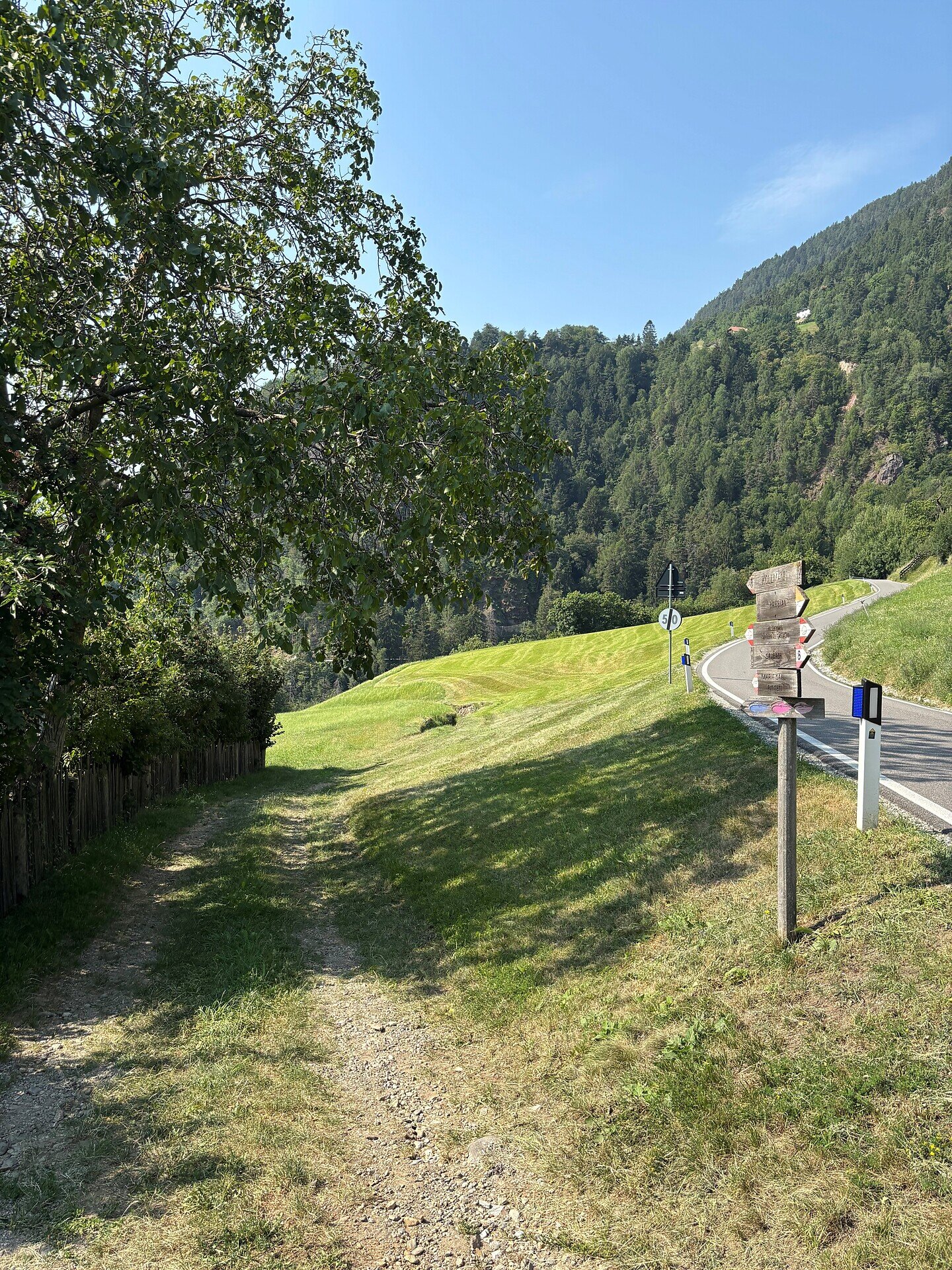
The circular hike begins in the village centre of Barbian. From there, follow the new pedestrian path and cross the panoramic bridge towards Saubach. Continue through Saubach to Pennhof. Refreshments are available at the Saubacherhof.
At Pennhof, the descent to Kollmann begins. Follow trail no. 8, which initially runs along an old sunken lane. After passing a wayside cross and several farms, you reach the road leading to Saubach. Cross the road and turn left shortly afterwards.
Continue towards Reatlhof and the Ganderbach stream. Cross the stream on the bridge above the butcher’s shop to reach Kollmann.
For the return journey, follow trail no. 5 uphill. The route runs partly along pleasant meadow paths and passes the Schinter farms and Marellhof before reaching Heilig Grab. Cross the road here and continue along trail no. 5 back to the village centre of Barbian.
Trail conditions:
The route follows paved pedestrian paths, an old sunken lane, woodland and meadow trails and short sections of road. The descent to Kollmann and the subsequent climb back to Barbian can be steep in places. Sturdy hiking footwear, sure-footedness and a good basic level of fitness are recommended. Unpaved sections may become slippery when wet.
Starting and finishing point: village centre of Barbian, approx. 830 m
Distance: approx. 7.9 km
Walking time: approx. 2 hours 30 minutes
Ascent: approx. 428 m
Descent: approx. 429 m
Highest point: approx. 857 m
Difficulty: moderate
Trail numbers: 8 and 5
Refreshment stops: Saubacherhof in Saubach and restaurants in Barbian and Kollmann
Suitable for pushchairs: no


