
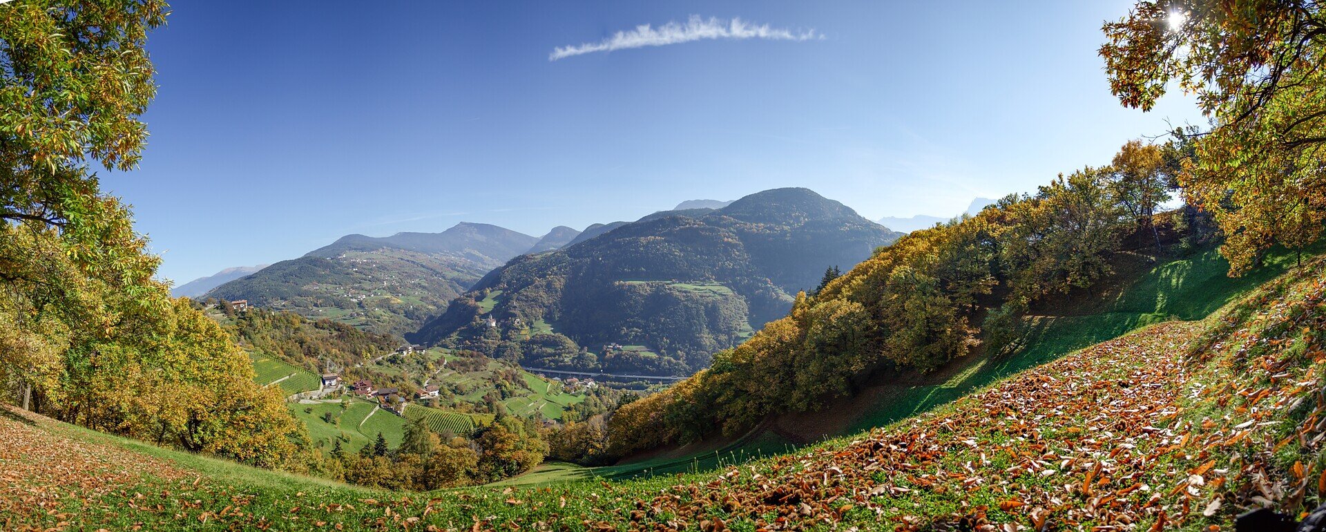
The autumn hike leads through the sunny rural landscape between Barbian, Waidbruck and Kollmann. Meadows, chestnut groves, farms and small villages characterise the route. Autumn colours and wide views make this circular hike especially attractive.
From Barbian, the route descends to Waidbruck and follows the cycle path to Kollmann before climbing back to Barbian. An optional detour leads to Unteraichnerhof. During the busy Törggelen season, advance table reservations are recommended.
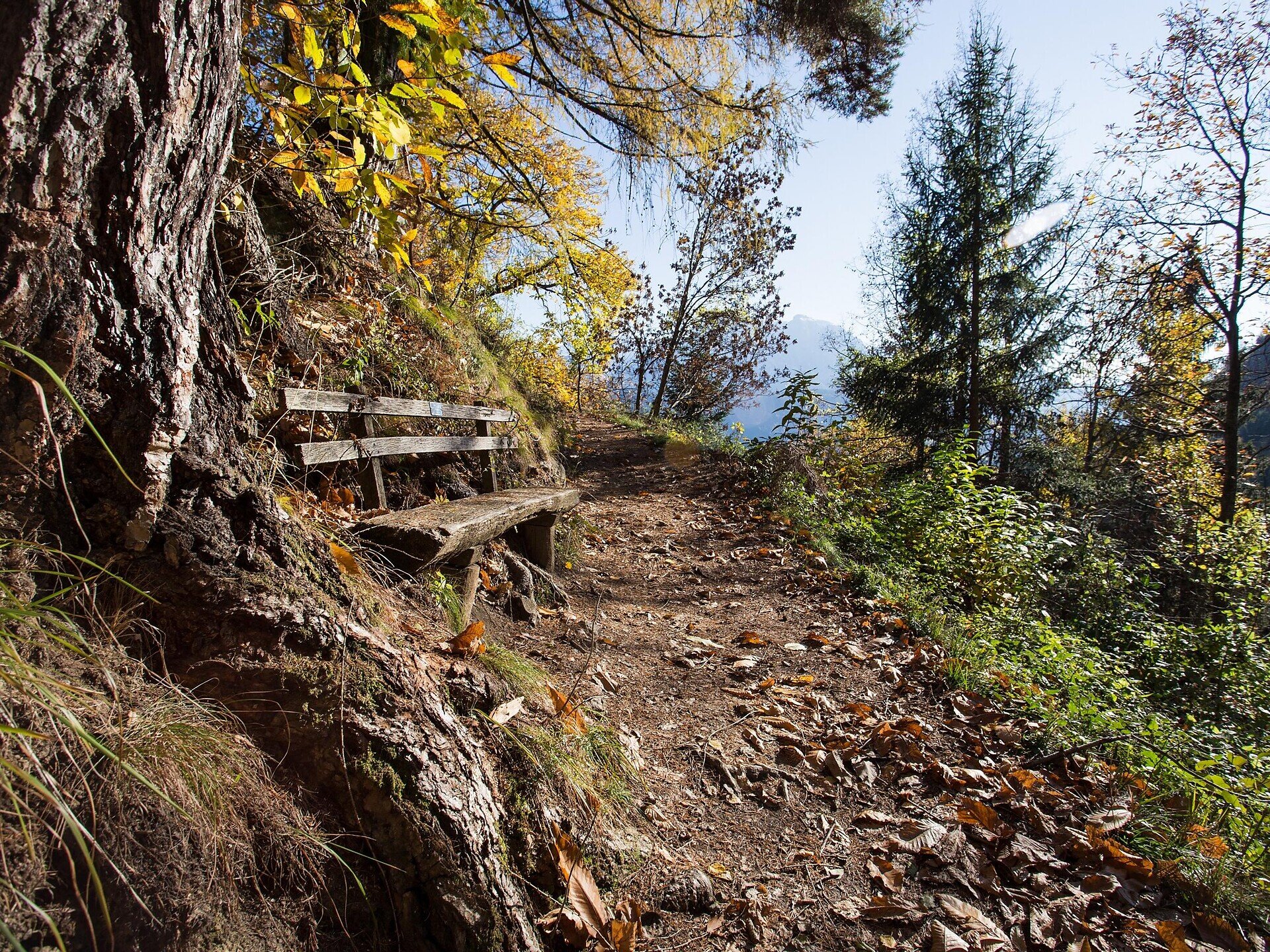
The circular hike begins in the village centre of Barbian. From there, follow trail no. 3 downhill towards Waidbruck. The route passes Gostnerhof and partly follows woodland and meadow paths as well as access roads.
In Waidbruck, change to the signposted cycle path and follow it along the valley floor to Kollmann. This section is shared with cyclists, so watch out for approaching bicycles.
In Kollmann, follow trail no. 8A uphill. Above the village, you reach Reatlhof. Change to trail no. 5, which climbs along the sunny slopes and leads back to Barbian.
From the village centre, you can extend the hike with a detour to Unteraichnerhof. Follow trails no. 11A and 11B and then use the signs for Barbian to return.
Trail conditions:
The route follows hiking and meadow paths, paved access roads and a section of the cycle path. The long descent to Waidbruck and the subsequent climb back to Barbian require a good basic level of fitness. Sturdy hiking footwear is recommended. Woodland and meadow trails may become slippery when wet.
Starting and finishing point: village centre of Barbian, approx. 832 m
Distance: approx. 7.5 km, excluding the detour to Unteraichnerhof
Walking time: approx. 4 hours, including the detour
Ascent: approx. 502 m
Descent: approx. 481 m
Highest point: approx. 888 m
Difficulty: moderate
Trail numbers: 3, cycle path, 8A and 5; additionally 11A and 11B to Unteraichnerhof
Refreshment stops: restaurants and traditional Törggelen inns in Barbian and along the extended route; booking recommended
Recommended season: September to November
Suitable for pushchairs: no


