
Skip to main content Skip to footer Sitemap

Alpine huts tour at Terenten

Gitschberg Jochtal
Add to favourites
Difficulty
Intermediate
Duration
4:50
in hours
Distance
13.5
in km
Status
open
Categories
  • Other hikes
Suggested period
Jan
Feb
Mar
Apr
May
Jun
Jul
Aug
Sep
Oct
Nov
Dec
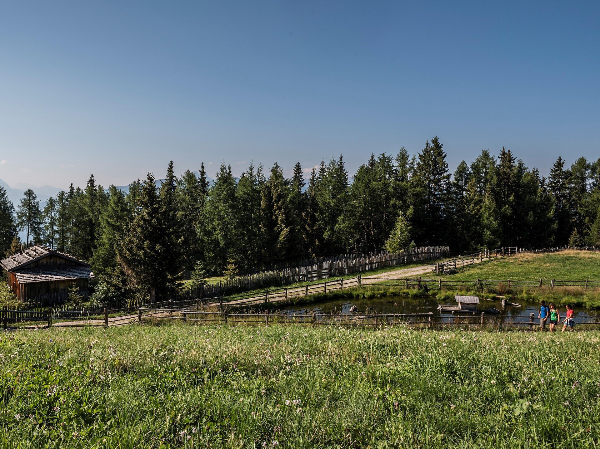
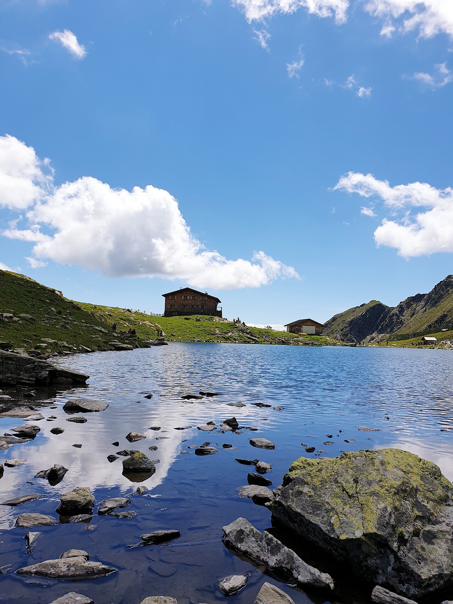
The Terenten Hut Tour leads you through flowering alpine meadows and past traditional mountain huts. Scenic views and pleasant rest stops make this hike particularly suitable for anyone who enjoys mountain panoramas and the atmosphere of alpine huts.
Gallery
Further information and useful links

The starting point of the hike is the Winnebach Valley parking lot in Terenten. From there, follow Trail No. 5B past the Lerchnerhof before joining Trail No. 5, which leads to the Pertinger Alm. Continue along Trail No. 5 to the junction with the Gamssteig Trail. Gamssteig Trail No. 5A takes you across green alpine meadows with magnificent views to the Hof Alm.

From there, follow the Pfunderer High Trail for a short section to the Tiefrasten-Hüttl. Here you can make a detour to the Tiefrasten Hut, which takes about 45 minutes. Alternatively, descend to the Astner Bergalm and return to the car park. The hike ends back at the Winnebach Valley parking lot.

Categories
  • Other hikes
Route data
Intermediate
Distance
13,5 km
Duration
4 h 50 min
Ascent
780 m
Decent
780 m
Technical skills
Physical condition
Scenary
Highest point
1.828 m
Lowest point
1.314 m
You might be interested in
Discover related tours
Schabs | © TG Natz-Schabs, Florian Andergassen
Intermediate
Add to favourites
Natz-Schabs
Round Trip to Stegerbühel Hill
Distance 3,4 km
Duration 1 h 00 min
Ascent 90 m
Decent 90 m
Status
open
Klausen | © Alex Filz
Intermediate
Add to favourites
Klausen
Villanders - Klausen - Villanders
Distance 6,7 km
Duration 2 h 29 min
Ascent 404 m
Decent 404 m
Status
open
Kloster Säben/Convento di Sabiona | © TV Klausen
Intermediate
Add to favourites
Klausen
Feldthurns - Säben - Hieng - Feldthurns
Distance 10,5 km
Duration 3 h 07 min
Ascent 586 m
Decent 586 m
Status
open
Brixen
S. Andrea – Cornale Way of the Cross
Distance 5,4 km
Duration 1 h 21 min
Status
open
Three churches | © Rene Gruber
Intermediate
Add to favourites
Klausen
Villanders-Flor-Three Churches "Dreikirchen"-Villanders
Distance 10,0 km
Duration 3 h 00 min
Ascent 638 m
Decent 640 m
Status
open
Natz-Schabs
Villages Round Trip Natz-Schabs
Distance 11,0 km
Duration 3 h 30 min
Ascent 379 m
Decent 385 m
Status
open
Where?
When?
Who?
Rooms
1