Skip to main content Skip to footer Sitemap

Rotenstein high mountain trail

Gitschberg Jochtal
Add to favourites
Difficulty
Difficult
Duration
3:12
in hours
Distance
10.9
in km
Status
open
Categories
  • Other hikes
Suggested period
Jan
Feb
Mar
Apr
May
Jun
Jul
Aug
Sep
Oct
Nov
Dec

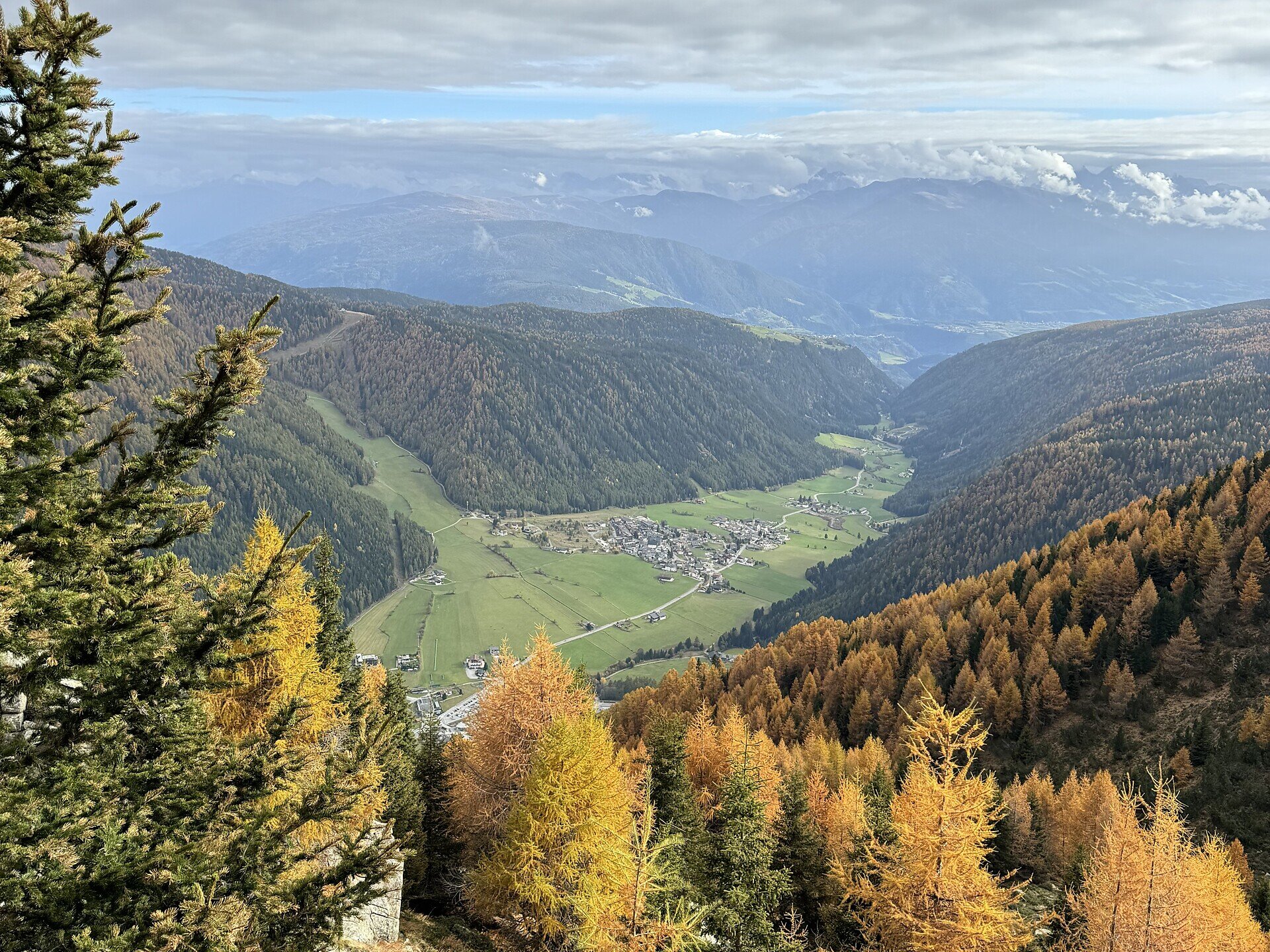
The Vals High Trail is a varied hike with wide views and several secured sections. The route also takes you to the traditional Fane Alm and is particularly suitable for hikers who want to combine nature with more challenging passages.
Gallery
Further information and useful links

The starting point of the hike is the Jochtal valley station. From there, take the Jochtal cable car to the mountain station. Then follow Trail No. 9 via Valler Jöchl, the unmanaged Rotenstein Alm, and Peachenjoch. Trail No. 9 then descends to the Fane Alm mountain village, with its traditional alpine huts.

For the return to the Jochtal valley station, follow the Milk Trail. The hike ends back at the Jochtal valley station.

Categories
  • Other hikes
Route data
Difficult
Distance
10,9 km
Duration
3 h 12 min
Ascent
379 m
Decent
1.027 m
Technical skills
Physical condition
Scenary
Highest point
2.283 m
Lowest point
1.372 m
You might be interested in
Discover related tours
Natz-Schabs
Apple Trail in Natz-Schabs /Naz-Sciaves
Distance 7,7 km
Duration 2 h 30 min
Ascent 135 m
Decent 139 m
Status
open
Latzfons Cross | © Roter Rucksack
Intermediate
Add to favourites
Klausen
Kaseregg-Rifugio S. Croce di Lazfons
Distance 7,4 km
Duration 2 h 50 min
Ascent 507 m
Decent 507 m
Status
open
Waterfal | © Wolfgang Gafriller
Intermediate
Add to favourites
Klausen
Tour 2 to the cascate and Trechiese/Dreikirchen
Distance 6,0 km
Duration 3 h 30 min
Status
open
Villanders Alp | © Koni Studios
Intermediate
Add to favourites
Klausen
To the Stöffelhütte in the Alps of Villanders
Distance 13,6 km
Duration 4 h 54 min
Ascent 560 m
Decent 432 m
Status
open
Gitschberg Jochtal
circular hiking trail 'Stocknertal' in Terenten
Distance 3,2 km
Duration 56 min
Ascent 111 m
Decent 111 m
Status
open
Brixen
Circular Hike Spiluck – Zirmaitalm – Karspitze
Distance 12,7 km
Duration 4 h 35 min
Ascent 1.127 m
Decent 1.132 m
Status
closed
Where?
When?
Who?
Rooms
1