Skip to main content Skip to footer Sitemap

Forest adventure trail

Gitschberg Jochtal
Add to favourites
Difficulty
Easy
Duration
0:40
in hours
Distance
1.5
in km
Status
open
Categories
  • Family hikings
Suggested period
Jan
Feb
Mar
Apr
May
Jun
Jul
Aug
Sep
Oct
Nov
Dec
Discover Nature and Fun for the Whole Family

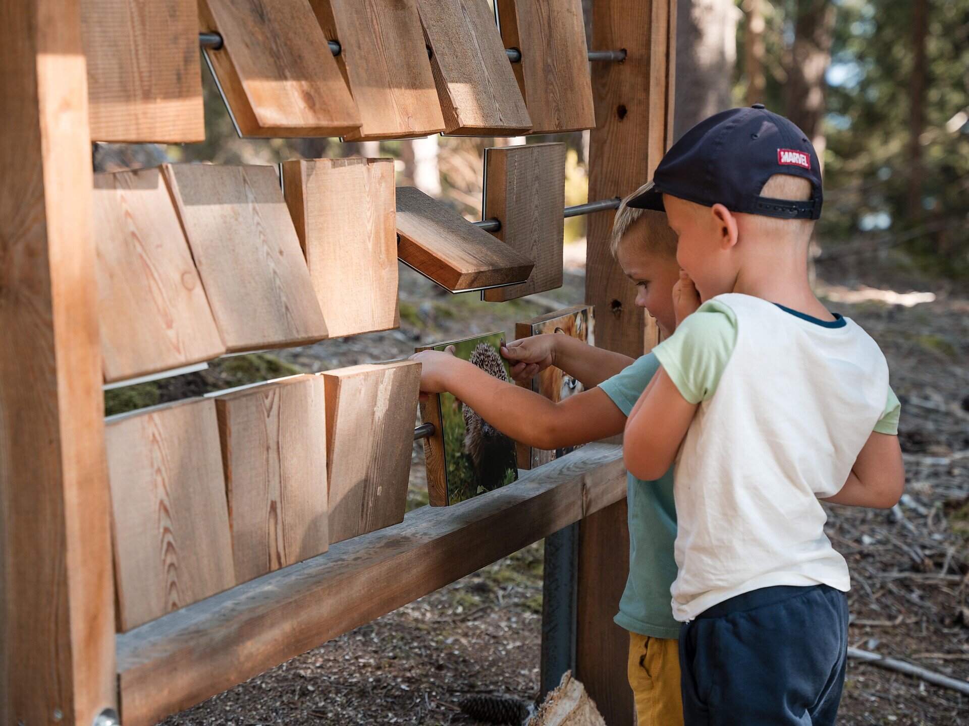
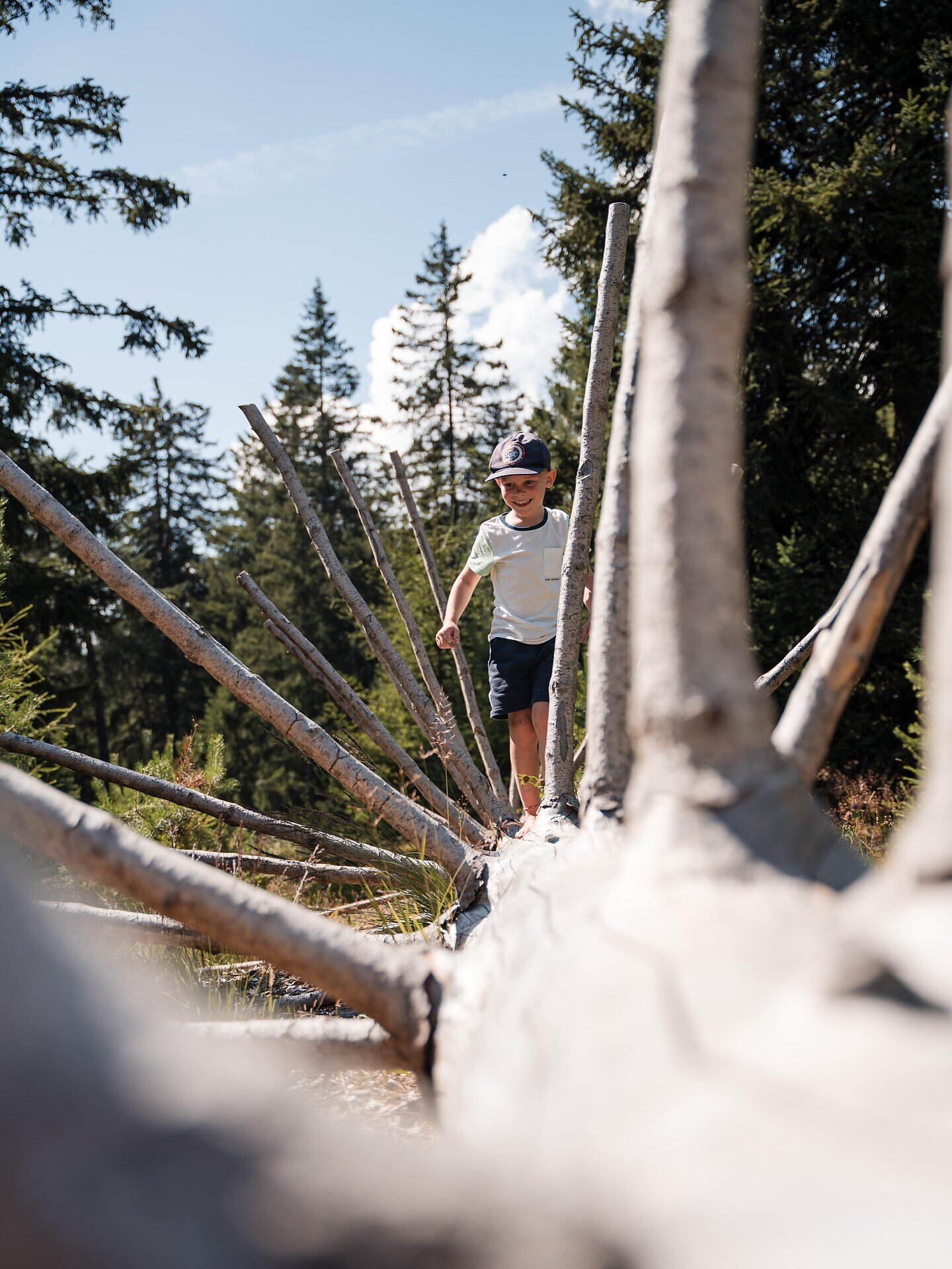
The Forest Adventure Trail is a varied hiking route for families. Along the way, you can explore the forest through play and learn more about its diversity.

Gallery
Further information and useful links

Your forest adventure begins at the Ahner bus stop, which you can easily reach with the Almbus No. 415. From there, the Forest Adventure Trail leads you to the reservoir. Along the way, you can test your balance, crawl over tree trunks and aim at targets with pine cones.

At the reservoir, you will discover the wetland habitat, home to frogs, tadpoles, toads and dragonflies. Afterwards, follow the trail markers back to the Ahner bus stop, where the forest adventure comes to an end.

Categories
  • Family hikings
Route data
Easy
Distance
1,5 km
Duration
40 min
Ascent
67 m
Decent
18 m
Technical skills
Physical condition
Scenary
Highest point
1.396 m
Lowest point
1.344 m
Suggestions

In the ski and holiday area Gitschberg Jochtal you can get an Adventure Book at your accommodation or at the tourist offices. This special booklet features ten selected hikes, each with a stamp station along the way, where you can collect an imprint in your Adventure Book.

With three stamps, you can claim a bronze medal at the tourist offices in Mühlbach, Rodeneck, Terenten, Vals, or Meransen. Six stamps earn you a silver medal, and with all ten, you’ll be awarded the prestigious gold medal
You might be interested in
Discover related tours
Gitschberg Jochtal
The Witches' Stone in Terenten
Distance 1,8 km
Duration 46 min
Ascent 219 m
Decent 0 m
Status
open
Puntleider / Pontelletto lake | © Brixen Tourismus Gen
Intermediate
Add to favourites
Brixen
From Grasstein to Puntleider lake
Distance 10,2 km
Duration 3 h 47 min
Ascent 990 m
Decent 990 m
Status
closed
Brixen
Monastery Walls, Vineyards and the Archaeological Trail
Distance 8,5 km
Duration 2 h 32 min
Ascent 346 m
Decent 371 m
Status
closed
Brixen
Eisacktal Valley Wine and Apple Trail
Distance 17,1 km
Duration 4 h 54 min
Ascent 495 m
Decent 495 m
Status
open
Afers - Eores | © Brixen Tourismus Gen.
Intermediate
Add to favourites
Brixen
From St. Andrä to the Freienbühel pilgrimage church - Kreuzweg Trail (St. Gerog / Afers)
Distance 5,9 km
Duration 2 h 31 min
Ascent 716 m
Decent 279 m
Status
closed
Brixen
Circular Hike to St. Andrä on mount Plose (in southerly direction)
Distance 6,0 km
Duration 1 h 49 min
Ascent 255 m
Decent 255 m
Status
closed
Where?
When?
Who?
Rooms
1