Skip to main content Skip to footer Sitemap

Apple Trail in Natz-Schabs /Naz-Sciaves

Natz-Schabs
Add to favourites
Difficulty
Easy
Duration
2:30
in hours
Distance
7.7
in km
Status
open
WSEN
Categories
  • Theme paths
  • Other hikes
  • Family hikings
Suggested period
Jan
Feb
Mar
Apr
May
Jun
Jul
Aug
Sep
Oct
Nov
Dec

A walk for nature lovers

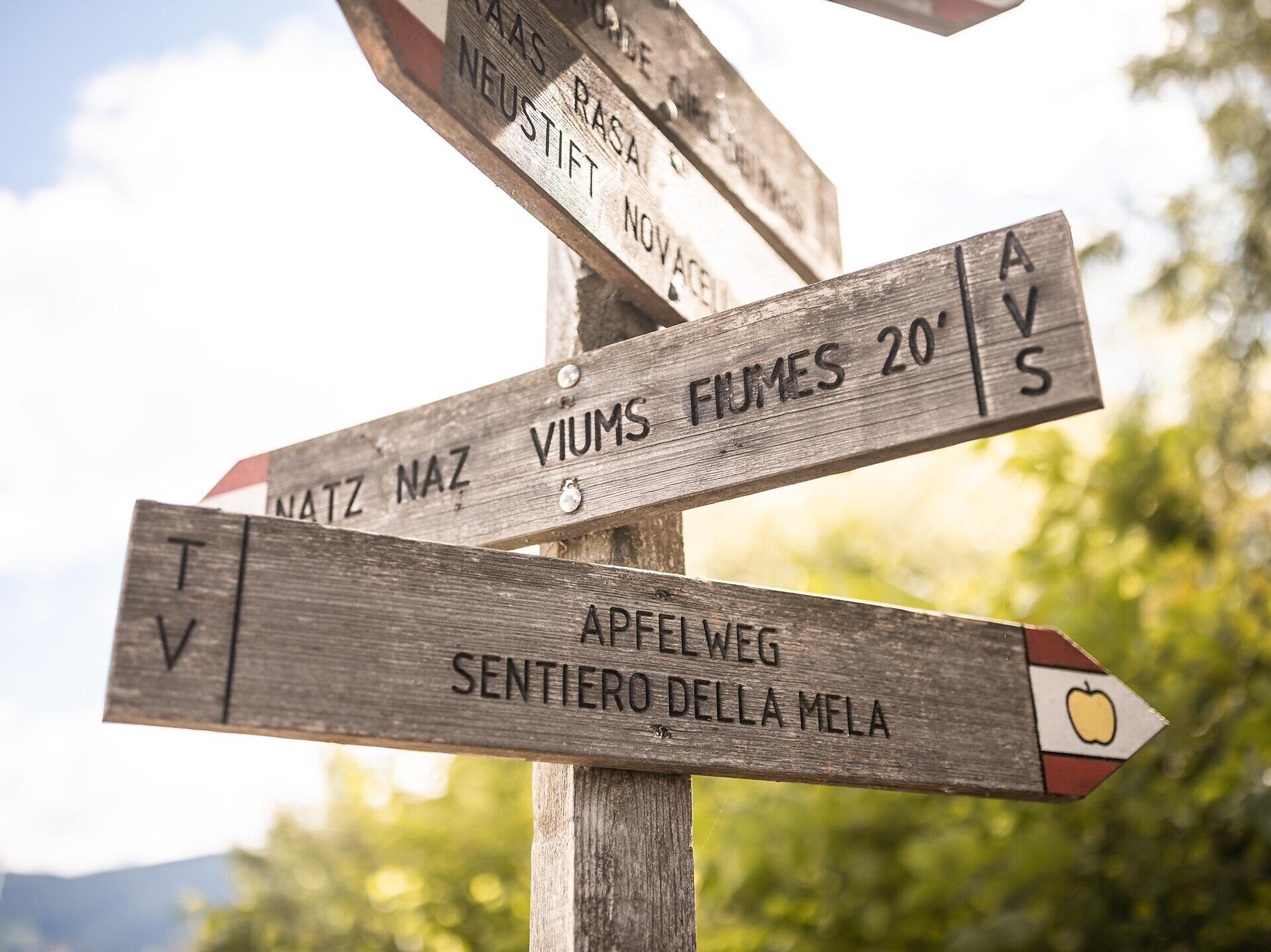
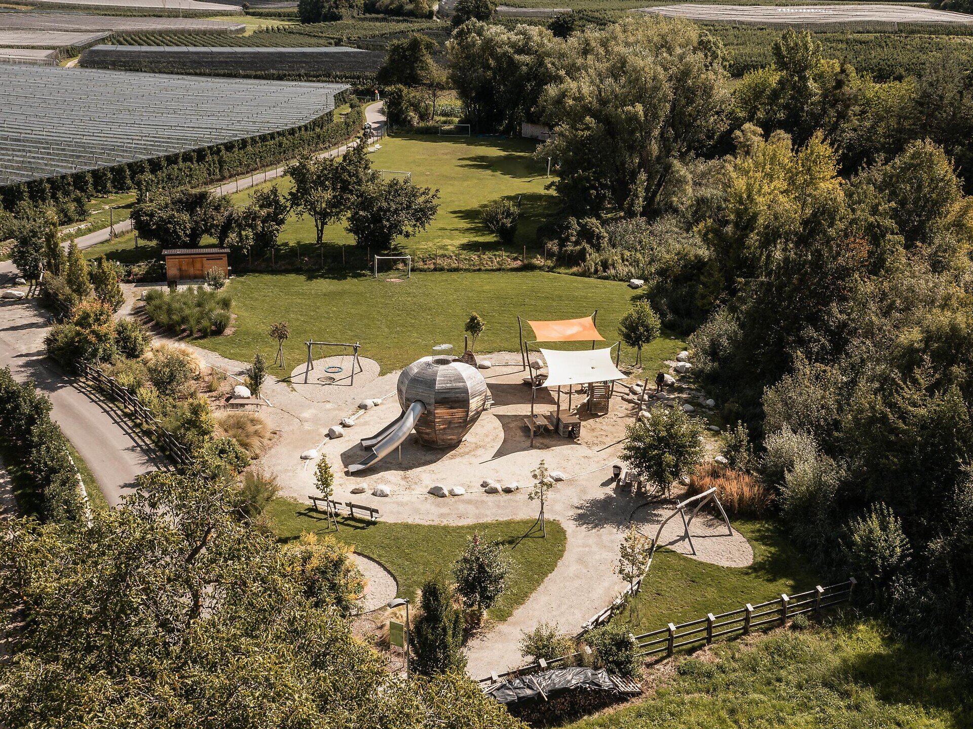
The theme path that runs from Natz to Raas and back to the starting point provides insight into the natural beauty of the area. On various information boards along the way, you will learn things to know about the apple cultivation in Natz and the apple-producing region of South Tyrol.
Gallery
Further information and useful links

The circular walk starts at the main square in Natz. Take a short walk along the road to Viums, then turn left on to a side path to the Sommersürs biotope. After the biotope, follow the Apfelweg sign up to the Flötscher pond. Continue on the way until you reach the first intersection. Here, cross the road and follow the Apple Trail along the Mesnerbühel hill in the direction of Raas, where you will reach the Raiermoos biotope with its fascinating flora and fauna. From here, the Apple Trail ascends to a large reservoir and from there to the main road to Natz. Follow the main road for a short while, then leave the road on a right turn. At the next intersection, turn left heading north, then turn sharp right. From here, the Kreuzweg path goes back to the starting point at the village center of Natz. Next to the Kreuzweg path you will also pass the Ölberg vantage point that invites hikers to become sun loungers and take a relaxing break.

Categories
  • Theme paths
  • Other hikes
  • Family hikings
Route data
Easy
Distance
7,7 km
Duration
2 h 30 min
Ascent
135 m
Decent
139 m
Technical skills
Physical condition
Scenary
Highest point
898 m
Lowest point
830 m
You might be interested in
Discover related tours
Brixen
Monastery Walls, Vineyards and the Archaeological Trail
Distance 8,5 km
Duration 2 h 32 min
Ascent 346 m
Decent 371 m
Status
closed
Saubach | © Wolfgang Gafriller
Intermediate
Add to favourites
Klausen
Saubach/San Ingenuino - Rampoldsteig/Sentiero Rampold - Heidrichsberg/Monte Heidrichsberg
Distance 11,0 km
Duration 5 h 30 min
Status
open
Brixen
“Karlspromenade“ Circular Hiking Trail
Distance 5,8 km
Duration 2 h 15 min
Status
open
Gitschberg Jochtal
Panoramic hike to the Steinermandl
Distance 2,3 km
Duration 46 min
Ascent 147 m
Decent 35 m
Status
open
View | © TG Natz-Schabs, Florian Andergassen
Intermediate
Add to favourites
Natz-Schabs
From Aicha/Aica to Spinges/Spinga
Distance 7,5 km
Duration 3 h 00 min
Ascent 446 m
Decent 446 m
Status
open
Meransen/Maranza | © TG Gitschberg Jochtal
Intermediate
Add to favourites
Gitschberg Jochtal
From Meransen to Moserhütte and Klein Gitsch
Distance 5,2 km
Duration 3 h 00 min
Ascent 654 m
Decent 0 m
Status
open
Where?
When?
Who?
Rooms
1