
Skip to main content Skip to footer Sitemap

Panoramic hike to the Steinermandl

Gitschberg Jochtal
Add to favourites
Difficulty
Easy
Duration
0:46
in hours
Distance
2.3
in km
Status
open
WSEN
Categories
  • Family hikings
  • Suitable for prams
  • Other hikes
Suggested period
Jan
Feb
Mar
Apr
May
Jun
Jul
Aug
Sep
Oct
Nov
Dec
Gallery
Further information and useful links

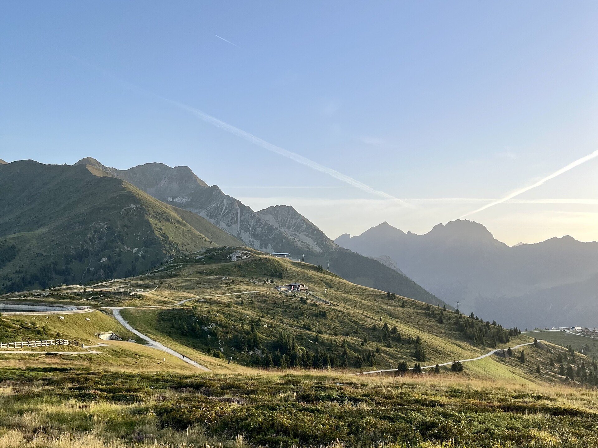
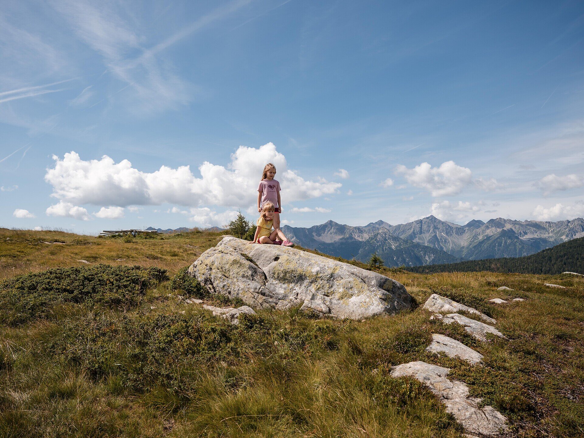
The starting point of the hike is the Jochtal mountain station. From there, first follow Trail No. 11 towards Ochsenalm. Then continue on Trail No. 1A to Steinermandl, the destination of the hike, at an altitude of 2,117 metres. Here, a panoramic platform offers a 360-degree view of the surrounding mountains. The hike ends back at the Jochtal mountain station.

The Jochtal mountain station can be reached conveniently by the Jochtal cable car, which operates in both summer and winter.

Categories
  • Family hikings
  • Suitable for prams
  • Other hikes
Route data
Easy
Distance
2,3 km
Duration
46 min
Ascent
147 m
Decent
35 m
Technical skills
Physical condition
Scenary
Highest point
2.115 m
Lowest point
1.993 m
Suggestions

In the ski and holiday area Gitschberg Jochtal you can get an Adventure Book at your accommodation or at the tourist offices. This special booklet features ten selected hikes, each with a stamp station along the way, where you can collect an imprint in your Adventure Book.

With three stamps, you can claim a bronze medal at the tourist offices in Mühlbach, Rodeneck, Terenten, Vals, or Meransen. Six stamps earn you a silver medal, and with all ten, you’ll be awarded the prestigious gold medal!

You might be interested in
Discover related tours
Meransen | © Tourismusgenossenschaft Gitschberg Jochtal
Intermediate
Add to favourites
Gitschberg Jochtal
Lime Tree Trail: From Mühlbach to Meransen
Distance 4,1 km
Duration 2 h 08 min
Ascent 650 m
Decent 19 m
Status
open
Feldthurns | © Ivan Faller
Intermediate
Add to favourites
Klausen
Tour of the villages Feldthurns-Schnauders-Garn-Verdings
Distance 8,5 km
Duration 2 h 45 min
Ascent 362 m
Decent 363 m
Status
open
Rittner Horn | © Wolfgang Gafriller
Intermediate
Add to favourites
Klausen
From the village of Barbian to the Rittner Horn
Distance 10,7 km
Duration 3 h 30 min
Ascent 666 m
Decent 666 m
Status
closed
Natz-Schabs
To the lime pits to Sciaves
Distance 6,0 km
Duration 2 h 00 min
Ascent 20 m
Decent 20 m
Status
open
Gitschberg Jochtal
Circular trail around the village
Distance 3,0 km
Duration 52 min
Ascent 113 m
Decent 113 m
Status
open
Schabs | © TG Natz-Schabs, Florian Andergassen
Intermediate
Add to favourites
Natz-Schabs
Round Trip to Stegerbühel Hill
Distance 3,4 km
Duration 1 h 00 min
Ascent 90 m
Decent 90 m
Status
open
Where?
When?
Who?
Rooms
1