Skip to main content Skip to footer Sitemap

From Schalders to the Schrüttenseen lakes

Brixen
Add to favourites
Difficulty
Intermediate
Duration
5:33
in hours
Distance
12
in km
Status
closed
Categories
  • Family hikings
  • Other hikes
Suggested period
Jan
Feb
Mar
Apr
May
Jun
Jul
Aug
Sep
Oct
Nov
Dec

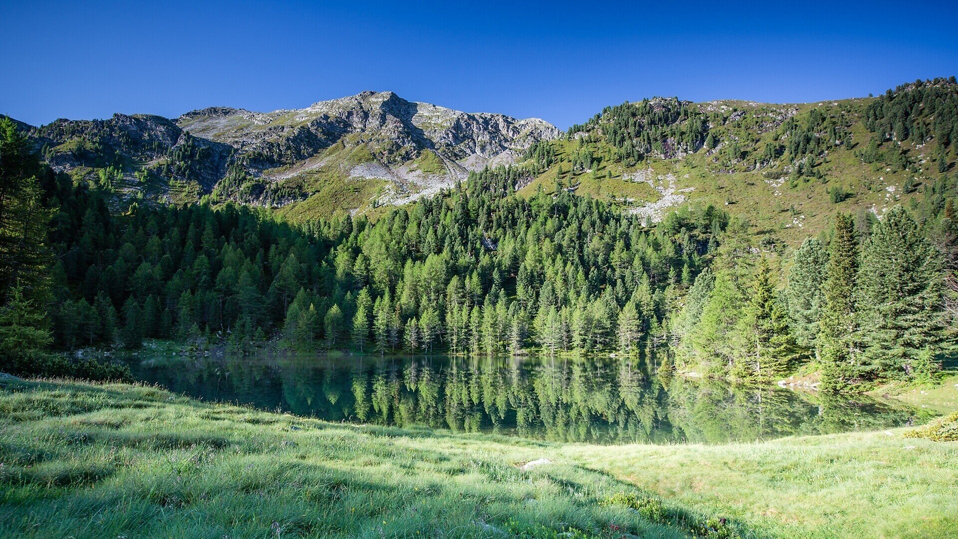
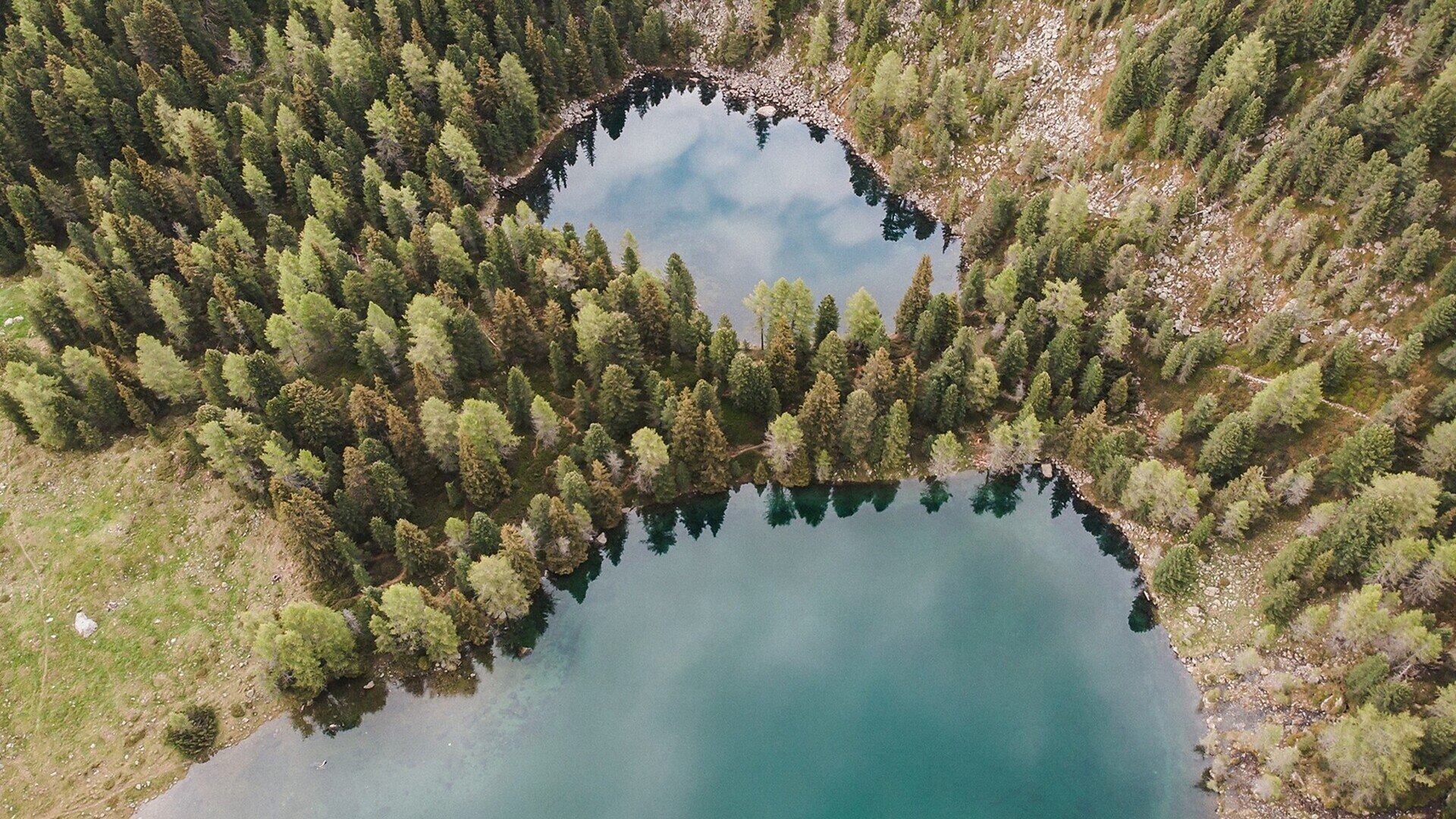
With their crystal-clear waters, the Schrüttenseen lakes lie ensconced amidst Alpine roses, dark green Swiss stone pines and light-coloured boulders. This challenging hike starts at Schalderer Tal Valley, in the unspoilt high mountain valley above Vahrn/Varna.

Gallery
Further information and useful links

The hike starts in Bad Schalders (1,116 m) in the valley, accessible via a narrow road from Vahrn. Follow trail no. 5 along the torrent for about 3.8 km until there’s a turning to the Steinwendt parking area (1,465 m). Continue on trail no. 4 along the Schalderer Bach brook for a short distance to the bridge, before ascending along trail no. 5 to the Giessplattenbach stream. Trail no. 7/A branches off uphill and to the left through the high forest to the larger of the two Schrüttensee lakes (1,957 m). The smaller Schrüttensee lies a little higher up to the left of the trail in the forest (1,964 m). To return to the valley, follow trail no. 7 over the Rinderköpfele mountain and past the Ochsenalm mountain pasture down to the Grieseralm mountain hut (1,873 m). The descent is steep until it crosses a forest path and comes to a brook in the Nocktal Valley. At the mill cross the Schalderer Bach brook and continue on trail no. 5 along the last stretch of the route into the valley to the old health spa in Schalders.

Categories
  • Family hikings
  • Other hikes
Route data
Intermediate
Distance
12,0 km
Duration
5 h 33 min
Ascent
913 m
Decent
913 m
Technical skills
Physical condition
Scenary
Highest point
2.039 m
Lowest point
1.126 m
Suggestions

Bad Schalders was once well-known for the healing properties of its ferrous waters. Among other things, the spring water is a cure for stomach ailments.

You might be interested in
Discover related tours
Brixen
Herbal Trail along the spiluck panoramaweg path
Distance 2,7 km
Duration 50 min
Ascent 145 m
Decent 145 m
Status
closed
Klausen
Saltnerstein (Gasser Hut) – Cross "Latzfonser Kreuz" – Saltnerstein
Distance 22,6 km
Duration 7 h 15 min
Ascent 1.002 m
Decent 1.002 m
Status
open
Gitschberg Jochtal
Rotenstein high mountain trail
Distance 10,9 km
Duration 3 h 12 min
Ascent 379 m
Decent 1.027 m
Status
open
Gitschberg Jochtal
The Witches' Stone in Terenten
Distance 1,8 km
Duration 46 min
Ascent 219 m
Decent 0 m
Status
open
Brixen
Millan Circular Hiking Tour
Distance 2,9 km
Duration 52 min
Ascent 113 m
Decent 113 m
Status
open
Villanderer Alm | © KONI
Intermediate
Add to favourites
Klausen
Hotel Sambergerhof – Alp of Villanders – Hotel Sambergerhof
Distance 10,5 km
Duration 3 h 15 min
Ascent 393 m
Decent 393 m
Status
open
Where?
When?
Who?
Rooms
1