Skip to main content Skip to footer Sitemap

Villages Round Trip Natz-Schabs

Natz-Schabs
Add to favourites
Difficulty
Easy
Duration
3:30
in hours
Distance
11
in km
Status
open
Categories
  • Family hikings
  • Other hikes
Suggested period
Jan
Feb
Mar
Apr
May
Jun
Jul
Aug
Sep
Oct
Nov
Dec

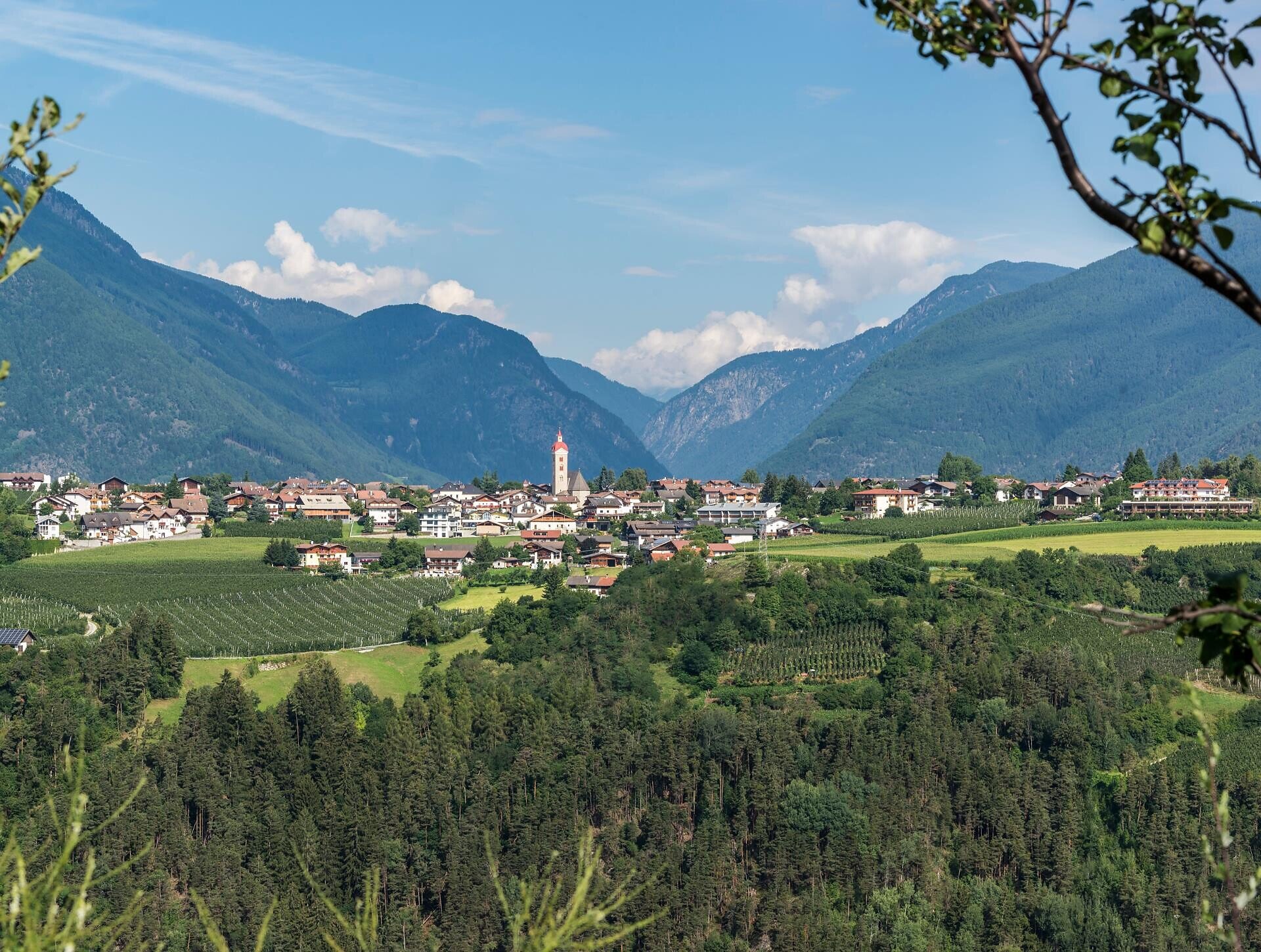
The tour leads through the village of Naz and then turns right onto the Villages round trip [Dörferrunde] through the Fruhnwald forest up to the Waldertor viewpoint. Past Fiumes/Viums and the Viummer crossing, the route leads mainly through forest paths up to Sciaves. Continue through the village and then go left along the Villages round trip through forest and later through orchards, up to the Flötscher pond. At the Seehof Hotel, cross the road and continue through meadows and woods, always along the signposted road to Rasa/Raas. Continue through the cultural grounds passing the water reservoir back to the street towards Naz. Follow the street to the right, at the Laugen sports field following the sign Dörferrunde. From here, the Villages round trip leads back to the starting point.

Gallery
Categories
  • Family hikings
  • Other hikes
Route data
Easy
Distance
11,0 km
Duration
3 h 30 min
Ascent
379 m
Decent
385 m
Technical skills
Physical condition
Scenary
Highest point
898 m
Lowest point
809 m
You might be interested in
Discover related tours
Gitschberg Jochtal
Devils' Stone and Pertinger Alm hut in Terenten
Distance 2,6 km
Duration 1 h 01 min
Ascent 281 m
Decent 0 m
Status
open
Rodeneck | © TG Gitschberg Jochtal
Intermediate
Add to favourites
Gitschberg Jochtal
The Rienz Gorge circular trail
Distance 14,0 km
Duration 5 h 00 min
Ascent 905 m
Decent 905 m
Status
open
Brixen
Dolomites high mountain trail nº 2
Distance 140,4 km
Duration 57 h 43 min
Ascent 12.921 m
Decent 13.923 m
Status
open
Klausen
Family trail on the alps of Villanders
Distance 1,2 km
Duration 18 min
Ascent 166 m
Decent 0 m
Status
open
Tschiffernaun Alm | © Tschiffernaun Alm
Intermediate
Add to favourites
Gitschberg Jochtal
Hike to the Tschiffernaun hut
Distance 2,7 km
Duration 1 h 35 min
Ascent 504 m
Decent 0 m
Status
open
Rittner Horn | © Wolfgang Gafriller
Intermediate
Add to favourites
Klausen
From the village of Barbian to the Rittner Horn
Distance 10,7 km
Duration 3 h 30 min
Ascent 666 m
Decent 666 m
Status
open
Where?
When?
Who?
Rooms
1