Skip to main content Skip to footer Sitemap

Wilde Kreuzspitze

Gitschberg Jochtal
Add to favourites
Difficulty
Difficult
Duration
6:15
in hours
Distance
16.4
in km
Status
open
WSEN
Categories
  • Mountain tours
Suggested period
Jan
Feb
Mar
Apr
May
Jun
Jul
Aug
Sep
Oct
Nov
Dec

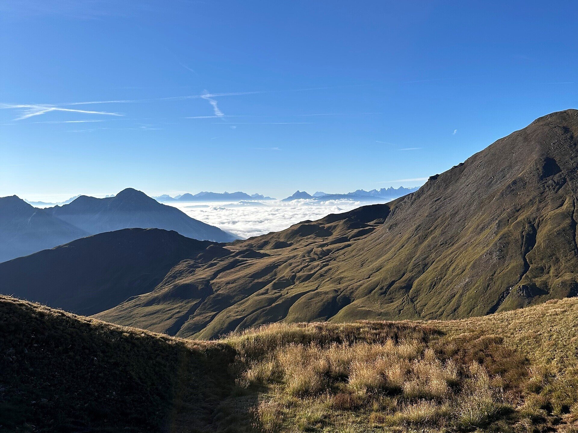
The Wilde Kreuzspitze is a demanding destination for experienced mountain hikers. The route leads through alpine landscapes, past lakes and alpine pastures, and reaches an elevation of over 3,000 metres. Sure-footedness and a good head for heights are required. From the summit, you can enjoy extensive views of the surrounding mountains.
Gallery
Further information and useful links

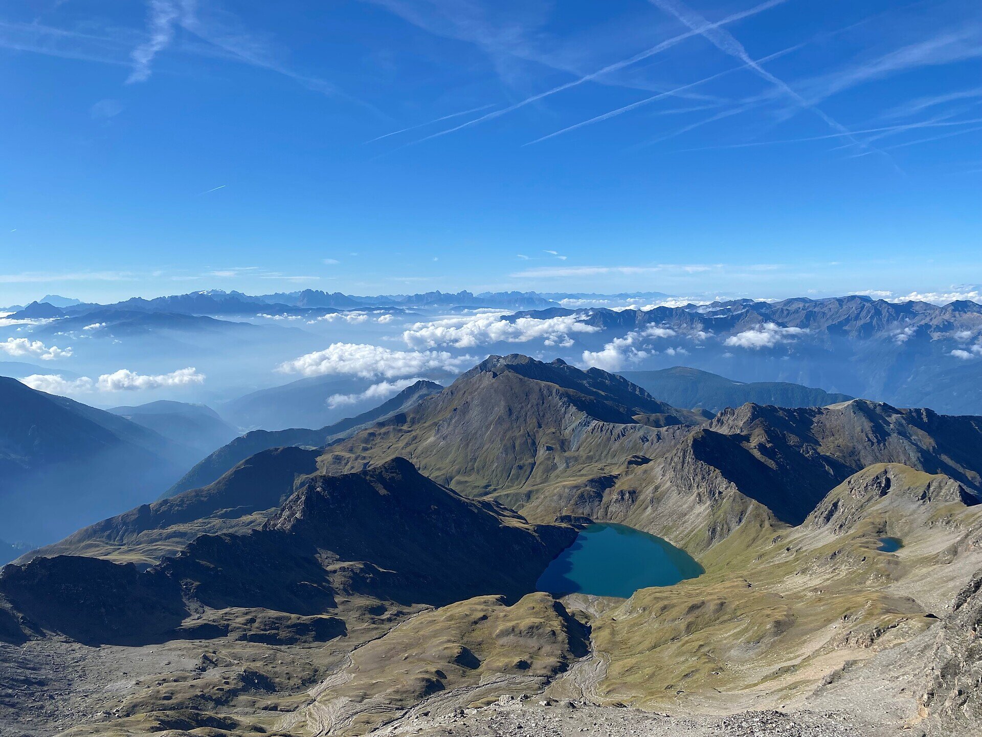
The tour starts at the parkinglot near Fane Alm at 1,741 metres. From there, follow trail no. 17 past the alpine pasture to a trail junction. Here, the route continues along trail no. 18, leading to Labeseben Alm and then to Wildensee. Shortly before the lake, there are several rope-secured sections that require sure-footedness and a head for heights.

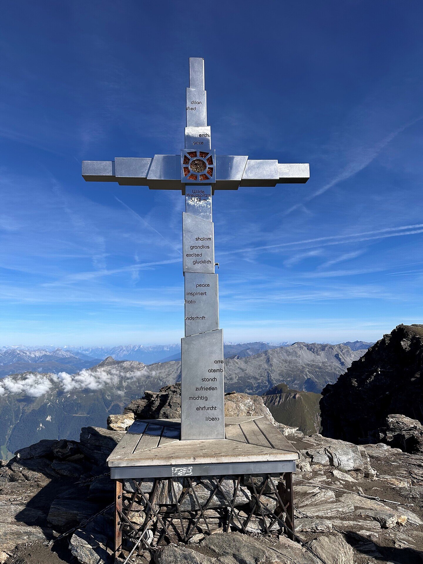
From Wildensee lake, trail no. 18 continues to Rauhtaljoch at 2,807 metres. From there, the route climbs directly to the summit of Wilde Kreuzspitze at 3,132 metres. It is the highest point in the region and offers sweeping panoramic views.

The descent initially follows the same route back to Rauhtaljoch. Then, trail no. 17B leads down to the Brixner Hütte mountain hut at 2,282 metres, where you can take a break. Trail no. 17 leads back to the junction and finally to the parking lot near Fane Alm, the finishing point of the tour.

Categories
  • Mountain tours
Route data
Difficult
Distance
16,4 km
Duration
6 h 15 min
Ascent
1.484 m
Decent
1.446 m
Technical skills
Physical condition
Scenary
Highest point
3.132 m
Lowest point
1.713 m
You might be interested in
Discover related tours
Hikers resting on mountain top | © KOTTERSTEGER
Intermediate
Add to favourites
Brixen
On the Dolomites High Route and Brixen High Route to Ochsenalm
Distance 10,0 km
Duration 5 h 00 min
Ascent 450 m
Decent 450 m
Status
open
Gitschberg Jochtal
Seefeldspitz: A Summit Hike with Three Alpine Lakes
Distance 9,7 km
Duration 4 h 00 min
Ascent 1.166 m
Decent 48 m
Status
open
Mount Villanders | © Rene Gruber
Intermediate
Add to favourites
Klausen
Monte di Villandro/Villanderer Berg
Distance 17,0 km
Duration 5 h 37 min
Ascent 839 m
Decent 938 m
Status
open
Gitschberg Jochtal
Kempspitze: A Summit Adventure for Experienced Hikers
Distance 13,4 km
Duration 5 h 51 min
Ascent 1.306 m
Decent 1.306 m
Status
open
Gitschberg Jochtal
Eidechsspitze peak: A Summit Adventure with Panoramic Views
Distance 15,7 km
Duration 5 h 55 min
Ascent 1.588 m
Decent 1.588 m
Status
open
Astjoch | © Thomas Monsorno
Intermediate
Add to favourites
Gitschberg Jochtal
Astjoch
Distance 21,8 km
Duration 5 h 00 min
Ascent 729 m
Decent 729 m
Status
open
Where?
When?
Who?
Rooms
1