It is a precious habitat, home to both people and wildlife – a place where we can breathe deeply and reconnect with ourselves. And it is exactly this space we want to protect. How, you might ask?
Panoramic hike from Latzfons to Latzfonser Kreuz and Kassianspitze through forests, alpine meadows and high mountain scenery.
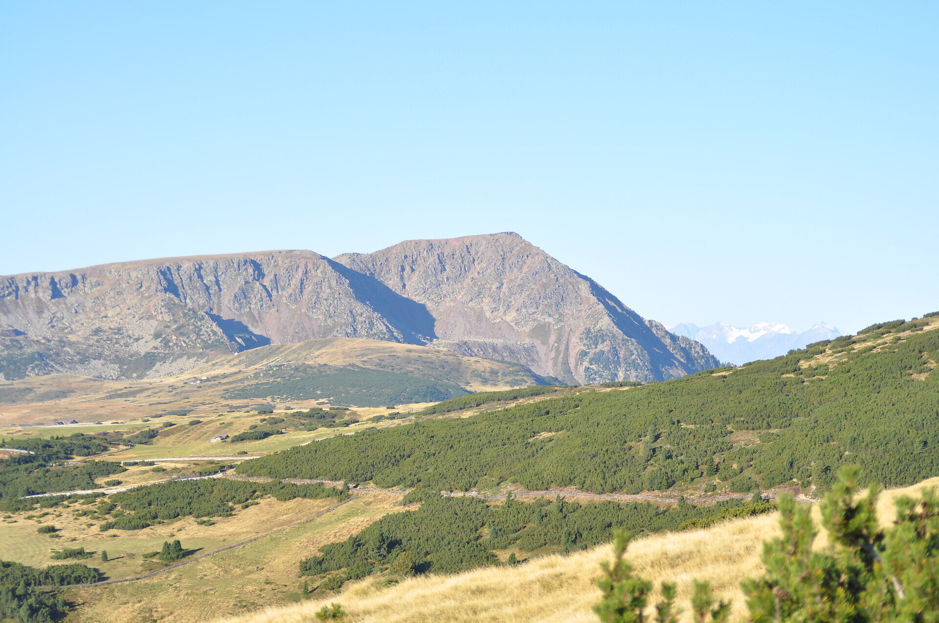
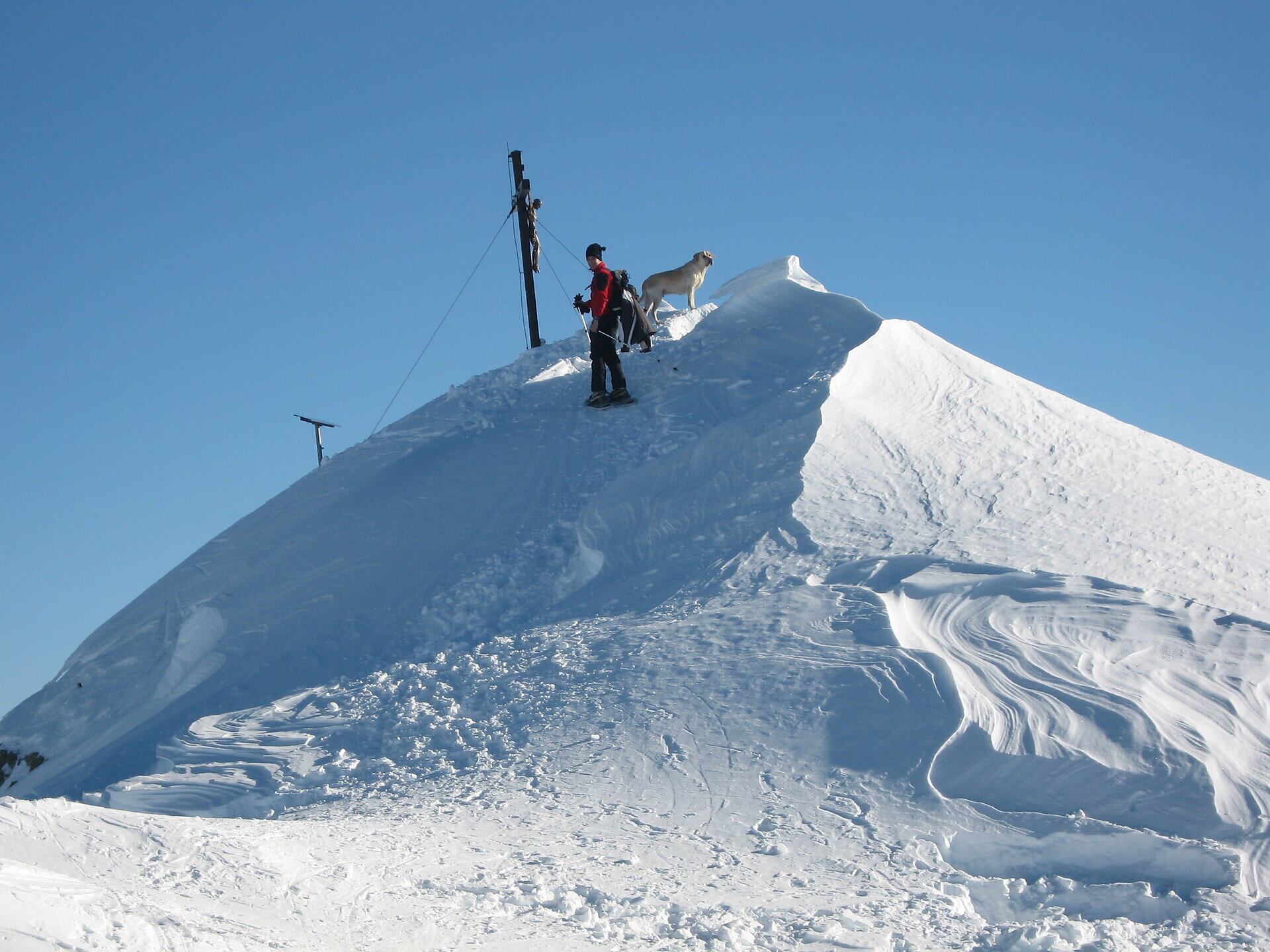
Kassianspitze is a panoramic summit above Latzfons. The hike leads through larch and pine forests, alpine meadows, and high mountain terrain. A special highlight is the Latzfonser Kreuz, one of the highest pilgrimage sites in the Alps. From the summit, there are wide views of the surrounding mountains.
The hike starts at the Kühhof parking area above Latzfons. From the parking area, follow the alpine road with a gentle ascent through the sparse larch and pine forest until reaching the open alpine meadows near the Klausner Hütte (1,923 m). Continue via the Rungger Hütten to the Plankenbach stream, where the Way of the Cross with its 15 stations begins. The trail crosses the steep slope covered with mountain pine and climbs through several bends to the Latzfonser Kreuz. From the pilgrimage church and the nearby mountain shelter, follow trail no. 9 towards the summit. The path continues uphill across scree and rocky terrain to the small Kassiansee Lake (2,469 m) and the saddle above. Turn right here and continue to Kassianspitze (2,581 m). The return follows the same route.
Categories
Snowshoe tours
Mountain tours
Ski tours
Route data
Intermediate
Distance
15,0 km
Duration
5 h
50 min
Ascent
1.020 m
Decent
1.020 m
Technical skills
Physical condition
Scenary
Highest point
2.581 m
Lowest point
1.560 m
public transportation
In summer, our hiking bus takes you to the most beautiful hiking areas in the heart of South Tyrol. Enjoy the unspoilt nature of the Villanders, Latzfons, Feldthurns and Barbian Alps/Rittner Horn.
13/05 – 31/10/2026 Every Wednesday and Friday
09:00: departure from Latzfons (reachable by public transport – see below) 16:30: return journey from Kühhof
Prices €4.00 Kühhof (fare for one journey) Free with the Guest Pass of the Chiusa Tourist Association
Bus to Latzfons: 343: Chiusa/Klausen (08:32) – Feldthurns (08:47) / change / 342: Feldthurns (08:47) – Latzfons (08:58)
Bus from Latzfons: 342: Latzfons (16:58) – Feldthurns (17:08) / change / 343: Feldthurns (17:08) – Chiusa/Klausen (17:23)