Skip to main content Skip to footer Sitemap

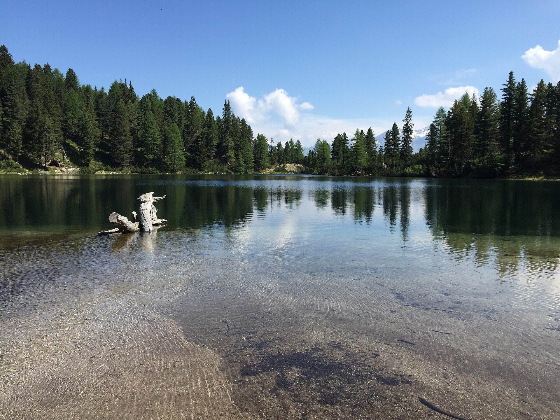
Hiking tour Lake Puntleid-Ponteletto

Brixen
Add to favourites
Difficulty
Intermediate
Duration
2:50
in hours
Distance
4.9
in km
Status
closed
Categories
  • Other hikes
Suggested period
Jan
Feb
Mar
Apr
May
Jun
Jul
Aug
Sep
Oct
Nov
Dec

This is recommended during early Spring when the Alpine rose is blossoming and in Autumn when the bright yellow larch trees are reflecting in the lake.

Near the group of houses just above Grasstein (866 metres), there is an Alpine path (first # 15, then # 14) running through the steep woods up to the Puntleider Alm (1,777 metres, also Seealm, snack bar). From there, path # 14 leads you in a southerly direction to Lake Puntleiden (1,847 metres). Descend on the same route.
Gallery
Categories
  • Other hikes
Route data
Intermediate
Distance
4,9 km
Duration
2 h 50 min
Ascent
891 m
Decent
21 m
Technical skills
Physical condition
Scenary
Highest point
1.854 m
Lowest point
980 m
You might be interested in
Discover related tours
Natz-Schabs
From Church to Church near Natz|Naz
Distance 5,5 km
Duration 1 h 35 min
Ascent 124 m
Decent 124 m
Status
open
Church | © Brixen Tourismus Gen.
Intermediate
Add to favourites
Brixen
"Great Art in Small Churches" Circular Hiking Tour
Distance 14,4 km
Duration 4 h 31 min
Ascent 743 m
Decent 743 m
Status
open
Klausen
Saltnerstein (Gasser Hut) – Cross "Latzfonser Kreuz" – Saltnerstein
Distance 22,6 km
Duration 7 h 15 min
Ascent 1.002 m
Decent 1.002 m
Status
open
Brixner Hütte | © Brixner Hütte
Intermediate
Add to favourites
Gitschberg Jochtal
Hike to the Brixner hut
Distance 4,3 km
Duration 1 h 50 min
Ascent 580 m
Decent 5 m
Status
open
Gitschberg Jochtal
Rotenstein high mountain trail
Distance 10,9 km
Duration 3 h 12 min
Ascent 379 m
Decent 1.027 m
Status
open
Gitschberg Jochtal
Circular trail around the village
Distance 3,0 km
Duration 52 min
Ascent 113 m
Decent 113 m
Status
open
Where?
When?
Who?
Rooms
1